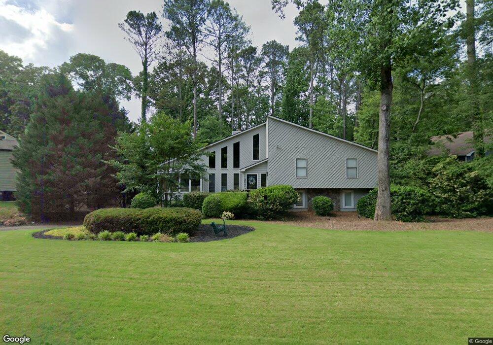
4817 Highpoint Dr NE Unit 4 Marietta, GA 30066
Sandy Plains NeighborhoodEstimated Value: $423,548 - $545,000
5
Beds
3
Baths
2,029
Sq Ft
$228/Sq Ft
Est. Value
About This Home
This home is located at 4817 Highpoint Dr NE Unit 4, Marietta, GA 30066 and is currently estimated at $462,887, approximately $228 per square foot. 4817 Highpoint Dr NE Unit 4 is a home located in Cobb County with nearby schools including Keheley Elementary School and McCleskey Middle School.
Ownership History
Date
Name
Owned For
Owner Type
Purchase Details
Closed on
Jul 10, 2024
Sold by
Hall Melinda M
Bought by
Melinda M Hall Revocable Trust and Hall
Current Estimated Value
Purchase Details
Closed on
Jul 27, 1999
Sold by
Blaweiss Mark D and Blaweiss Stefanie J
Bought by
Hall Melinda M
Home Financials for this Owner
Home Financials are based on the most recent Mortgage that was taken out on this home.
Original Mortgage
$137,300
Interest Rate
7.66%
Mortgage Type
FHA
Purchase Details
Closed on
Jan 13, 1995
Sold by
Donfris Michael J
Bought by
Blaweiss Mark D Stephanie
Home Financials for this Owner
Home Financials are based on the most recent Mortgage that was taken out on this home.
Original Mortgage
$106,000
Interest Rate
9.14%
Mortgage Type
FHA
Create a Home Valuation Report for This Property
The Home Valuation Report is an in-depth analysis detailing your home's value as well as a comparison with similar homes in the area
Home Values in the Area
Average Home Value in this Area
Purchase History
| Date | Buyer | Sale Price | Title Company |
|---|---|---|---|
| Melinda M Hall Revocable Trust | -- | None Listed On Document | |
| Hall Melinda M | $138,000 | -- | |
| Blaweiss Mark D Stephanie | $122,000 | -- |
Source: Public Records
Mortgage History
| Date | Status | Borrower | Loan Amount |
|---|---|---|---|
| Previous Owner | Hall Melinda M | $137,300 | |
| Previous Owner | Blaweiss Mark D Stephanie | $106,000 |
Source: Public Records
Tax History Compared to Growth
Tax History
| Year | Tax Paid | Tax Assessment Tax Assessment Total Assessment is a certain percentage of the fair market value that is determined by local assessors to be the total taxable value of land and additions on the property. | Land | Improvement |
|---|---|---|---|---|
| 2025 | $910 | $197,352 | $36,000 | $161,352 |
| 2024 | $815 | $164,236 | $34,400 | $129,836 |
| 2023 | $609 | $164,236 | $34,400 | $129,836 |
| 2022 | $778 | $151,916 | $28,000 | $123,916 |
| 2021 | $693 | $123,216 | $28,000 | $95,216 |
| 2020 | $604 | $93,544 | $26,000 | $67,544 |
| 2019 | $604 | $93,544 | $26,000 | $67,544 |
| 2018 | $2,189 | $93,840 | $26,000 | $67,840 |
| 2017 | $1,810 | $79,140 | $26,000 | $53,140 |
| 2016 | $1,814 | $79,140 | $26,000 | $53,140 |
| 2015 | $1,499 | $63,352 | $20,000 | $43,352 |
| 2014 | $1,510 | $63,352 | $0 | $0 |
Source: Public Records
Map
Nearby Homes
- 4813 Highpoint Dr NE
- 4799 North Trail
- 4797 North Trail
- 5009 Kingsley Manor Ct
- 4924 Locklear Way
- 4592 N Landing Dr
- 1877 Falcon Wood Dr NE
- 4709 Trickum Rd NE
- 5100 Ravenwood Dr
- 2256 Turtle Club Dr NE Unit 1
- 4509 N Landing Dr
- 4509 N Bay Ct
- 205 Leland Way
- 2423 Turtle Crossing NE
- 156 W Oaks Place
- 1765 Blackwillow Dr
- 4941 Willow Ln
- 4819 Highpoint Dr NE Unit 37
- 4815 Highpoint Dr NE
- 4815 Highpoint Dr NE Unit 4
- 4789 Woodspring Dr NE
- 4821 Highpoint Dr NE
- 4814 Highpoint Dr NE Unit 4
- 4811 Victorian Ct Unit 5
- 4810 Highpoint Dr NE Unit 26
- 4810 Highpoint Dr NE Unit 4
- 4816 Highpoint Dr NE
- 4791 Woodspring Dr NE
- 4791 Woodspring Dr NE Unit 4
- 4812 Victorian Ct
- 4813 Victorian Ct
- 4823 Highpoint Dr NE
- 4811 Highpoint Dr NE
- 4790 Woodspring Dr NE Unit 4
- 4818 Highpoint Dr NE
- 4815 Victorian Ct Unit 5