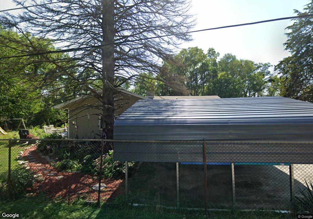
4817 Johnson Ave Davenport, IA 52802
Outer Davenport/Bettendorf NeighborhoodEstimated Value: $163,450 - $257,000
3
Beds
3
Baths
1,448
Sq Ft
$138/Sq Ft
Est. Value
About This Home
This home is located at 4817 Johnson Ave, Davenport, IA 52802 and is currently estimated at $199,613, approximately $137 per square foot. 4817 Johnson Ave is a home located in Scott County with nearby schools including Buffalo Elementary School, Walcott Intermediate School, and West High School.
Ownership History
Date
Name
Owned For
Owner Type
Purchase Details
Closed on
Apr 15, 2025
Sold by
New American Funding Llc
Bought by
Federal Home Loan Mortgage Corporation
Current Estimated Value
Purchase Details
Closed on
Oct 26, 2005
Sold by
Wegener Lois
Bought by
Pate Michael Ernest and Mcchesney Pate Frances Ellizabeth
Home Financials for this Owner
Home Financials are based on the most recent Mortgage that was taken out on this home.
Original Mortgage
$62,000
Interest Rate
9.38%
Mortgage Type
Adjustable Rate Mortgage/ARM
Purchase Details
Closed on
Jul 29, 2005
Sold by
The Estate Of Richard J Hoefer
Bought by
Wegener Lois
Create a Home Valuation Report for This Property
The Home Valuation Report is an in-depth analysis detailing your home's value as well as a comparison with similar homes in the area
Home Values in the Area
Average Home Value in this Area
Purchase History
| Date | Buyer | Sale Price | Title Company |
|---|---|---|---|
| Federal Home Loan Mortgage Corporation | -- | None Listed On Document | |
| Pate Michael Ernest | $61,000 | Gomez Title And Closing Comp | |
| Wegener Lois | -- | Gomez Title And Closing Comp |
Source: Public Records
Mortgage History
| Date | Status | Borrower | Loan Amount |
|---|---|---|---|
| Previous Owner | Pate Michael Ernest | $62,000 |
Source: Public Records
Tax History Compared to Growth
Tax History
| Year | Tax Paid | Tax Assessment Tax Assessment Total Assessment is a certain percentage of the fair market value that is determined by local assessors to be the total taxable value of land and additions on the property. | Land | Improvement |
|---|---|---|---|---|
| 2024 | $2,076 | $145,160 | $18,440 | $126,720 |
| 2023 | $2,430 | $145,160 | $18,440 | $126,720 |
| 2022 | $2,422 | $126,040 | $14,750 | $111,290 |
| 2021 | $2,422 | $125,270 | $14,750 | $110,520 |
| 2020 | $2,174 | $112,270 | $14,750 | $97,520 |
| 2019 | $2,254 | $112,270 | $14,750 | $97,520 |
| 2018 | $2,082 | $112,270 | $14,750 | $97,520 |
| 2017 | $576 | $106,850 | $14,750 | $92,100 |
| 2016 | $2,076 | $106,850 | $0 | $0 |
| 2015 | $2,076 | $107,910 | $0 | $0 |
| 2014 | $2,130 | $107,910 | $0 | $0 |
| 2013 | $2,356 | $0 | $0 | $0 |
| 2012 | -- | $98,270 | $18,060 | $80,210 |
Source: Public Records
Map
Nearby Homes
- 3712 Johnson Ave
- 3711 Pearl Ave
- 3631 Homestead Ave
- 3609 Boies Ave
- 1109 S Michigan Ave
- 3412 Michigan
- 3216 Indian Rd
- 3151 Diehn Ave
- 3400 Telegraph Rd
- 1515 S Concord St
- 1023 S Elsie Ave
- 1018 S Concord St
- 3123 Commodore St
- 3125 Pearl Ave
- 3011 Telegraph Rd
- 3003 Telegraph Rd
- 5418 Chapel Hill Rd
- 815 S Dittmer St
- 2736 Rockingham Rd
- 2707 Jackson Ave
- 4909 Johnson Ave
- 4818 Johnson Ave
- 4810 Johnson Ave
- 4929 Johnson Ave
- 4911 Ricker Hill Rd
- 4921 Ricker Hill Rd
- 4702 Blue Grass Rd
- 5011 Ricker Hill Rd
- 4619 Ricker Hill Rd
- 5019 Ricker Hill Rd
- 4616 Blue Grass Rd
- 4703 Blue Grass Rd
- 4824 Boies Ave
- 4920 Ricker Hill Rd
- 4525 Ricker Hill Rd
- 4722 Boies Ave
- 5004 Ricker Hill Rd
- Lot 78 Ricker Hill Rd
- 4706 Boies Ave
- 5014 Ricker Hill Rd