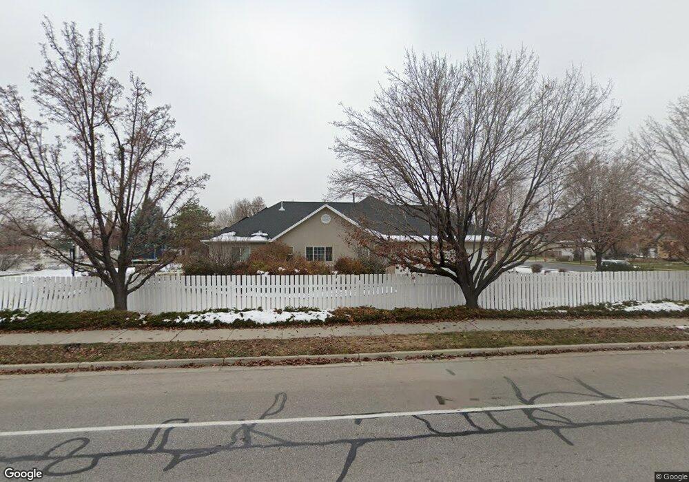
4817 Jonathan Rd Unit 16 Highland, UT 84003
Estimated Value: $1,369,000 - $1,686,717
8
Beds
6
Baths
3,412
Sq Ft
$441/Sq Ft
Est. Value
About This Home
This home is located at 4817 Jonathan Rd Unit 16, Highland, UT 84003 and is currently estimated at $1,504,239, approximately $440 per square foot. 4817 Jonathan Rd Unit 16 is a home located in Utah County with nearby schools including Highland Elementary School, Timberline Middle School, and Lone Peak High School.
Ownership History
Date
Name
Owned For
Owner Type
Purchase Details
Closed on
May 1, 2019
Sold by
Wagaman P David and Wagaman Shawna
Bought by
Olsen Peter A and Olsen Aimee L
Current Estimated Value
Home Financials for this Owner
Home Financials are based on the most recent Mortgage that was taken out on this home.
Original Mortgage
$693,840
Outstanding Balance
$610,026
Interest Rate
4.2%
Mortgage Type
VA
Estimated Equity
$894,213
Purchase Details
Closed on
Oct 6, 2005
Sold by
Wagaman Paul David and Wagaman Shawna Rae
Bought by
Wagaman P David P and Wagaman Shawna
Purchase Details
Closed on
Dec 13, 1999
Sold by
Jdd Investments Lc
Bought by
Wagaman Paul David and Wagaman Shawna Rae
Create a Home Valuation Report for This Property
The Home Valuation Report is an in-depth analysis detailing your home's value as well as a comparison with similar homes in the area
Home Values in the Area
Average Home Value in this Area
Purchase History
| Date | Buyer | Sale Price | Title Company |
|---|---|---|---|
| Olsen Peter A | -- | Gt Title Services | |
| Wagaman P David P | -- | -- | |
| Wagaman Paul David | -- | Guardian Title Insurance |
Source: Public Records
Mortgage History
| Date | Status | Borrower | Loan Amount |
|---|---|---|---|
| Open | Olsen Peter A | $693,840 |
Source: Public Records
Tax History Compared to Growth
Tax History
| Year | Tax Paid | Tax Assessment Tax Assessment Total Assessment is a certain percentage of the fair market value that is determined by local assessors to be the total taxable value of land and additions on the property. | Land | Improvement |
|---|---|---|---|---|
| 2025 | $5,343 | $747,780 | $535,100 | $824,500 |
| 2024 | $5,343 | $660,000 | $0 | $0 |
| 2023 | $4,796 | $639,100 | $0 | $0 |
| 2022 | $4,485 | $579,425 | $0 | $0 |
| 2021 | $3,988 | $767,400 | $323,700 | $443,700 |
| 2020 | $3,843 | $725,200 | $281,500 | $443,700 |
| 2019 | $4,144 | $818,200 | $281,500 | $536,700 |
| 2018 | $4,361 | $818,200 | $281,500 | $536,700 |
| 2017 | $4,410 | $441,650 | $0 | $0 |
| 2016 | $4,117 | $385,330 | $0 | $0 |
| 2015 | $4,198 | $372,405 | $0 | $0 |
| 2014 | $3,620 | $318,340 | $0 | $0 |
Source: Public Records
Map
Nearby Homes
- 5077 W 11000 N
- 682 Healey Blvd
- 868 S Braddock Ln
- 629 S Pheasant Ridge Cir
- 5159 W 11000 N
- 909 Ridge Ln
- 5984 W 11200 N Unit 1
- 10861 N Panorama Dr
- 88 W Cascade Ave
- 5377 W Evergreen Way
- 4224 W Park Dr
- 10685 N Jerling Dr
- 364 E 280 S
- 10535 Janie Ln
- 250 S Main St Unit 7
- 250 S Main St Unit 20
- 250 S Main St Unit 25
- 10763 N Dosh Ln
- 11197 N Park Dr
- 10905 N Vercelli Dr
- 4817 Jonathan Rd
- 4817 W Jonathon Rd
- 4841 Jonathan Rd
- 4816 W Jonathon Rd Unit 15
- 4838 W 11300 N
- 4816 Jonathan Rd
- 4838 Jonathan Rd
- 11292 Sampson Dr
- 4828 W Joey Ct
- 4862 W 11300 N
- 4863 Jonathan Rd
- 4863 W 11300 N
- 4862 Jonathan Rd
- 4862 Jonathan Rd Unit 13
- 4828 W Joey Ct
- 4828 W Joey Ct
- 4862 W Jonathon Rd
- 4842 11240 N
- 4864 W Joey Ct
- 4864 Joey Ct