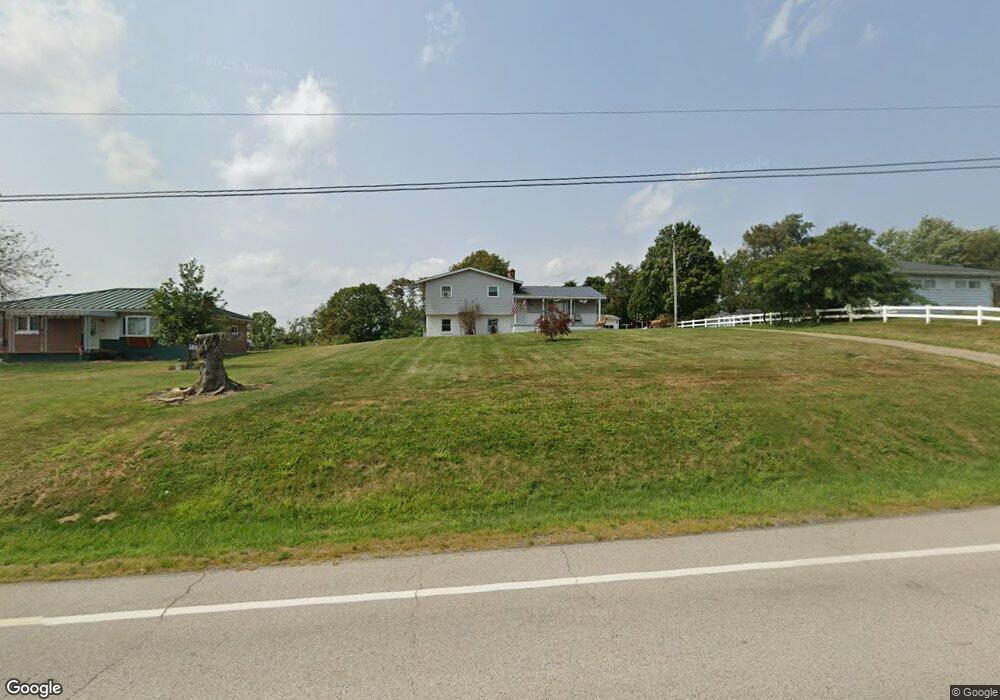
4817 State Route 151 Mingo Junction, OH 43938
Estimated Value: $190,000 - $319,000
3
Beds
2
Baths
1,824
Sq Ft
$131/Sq Ft
Est. Value
About This Home
This home is located at 4817 State Route 151, Mingo Junction, OH 43938 and is currently estimated at $239,566, approximately $131 per square foot. 4817 State Route 151 is a home with nearby schools including Buckeye Local High School.
Ownership History
Date
Name
Owned For
Owner Type
Purchase Details
Closed on
Jul 15, 2019
Sold by
Timko Melissa D
Bought by
Timko William A and Timko William
Current Estimated Value
Home Financials for this Owner
Home Financials are based on the most recent Mortgage that was taken out on this home.
Original Mortgage
$122,600
Interest Rate
3.82%
Mortgage Type
New Conventional
Purchase Details
Closed on
May 1, 2013
Sold by
Adams Kathryn J
Bought by
Timko Melissa D and Timko William A
Home Financials for this Owner
Home Financials are based on the most recent Mortgage that was taken out on this home.
Original Mortgage
$127,545
Interest Rate
3.51%
Create a Home Valuation Report for This Property
The Home Valuation Report is an in-depth analysis detailing your home's value as well as a comparison with similar homes in the area
Home Values in the Area
Average Home Value in this Area
Purchase History
| Date | Buyer | Sale Price | Title Company |
|---|---|---|---|
| Timko William A | -- | Servicelink | |
| Timko Melissa D | -- | -- |
Source: Public Records
Mortgage History
| Date | Status | Borrower | Loan Amount |
|---|---|---|---|
| Closed | Timko William A | $122,600 | |
| Closed | Timko Melissa D | $127,545 |
Source: Public Records
Tax History Compared to Growth
Tax History
| Year | Tax Paid | Tax Assessment Tax Assessment Total Assessment is a certain percentage of the fair market value that is determined by local assessors to be the total taxable value of land and additions on the property. | Land | Improvement |
|---|---|---|---|---|
| 2024 | $2,021 | $55,545 | $3,066 | $52,479 |
| 2023 | $2,021 | $46,726 | $3,413 | $43,313 |
| 2022 | $1,816 | $46,726 | $3,413 | $43,313 |
| 2021 | $1,816 | $46,726 | $3,413 | $43,313 |
| 2020 | $1,855 | $46,645 | $3,413 | $43,232 |
| 2019 | $1,753 | $0 | $0 | $0 |
| 2018 | $1,646 | $0 | $0 | $0 |
| 2017 | $1,643 | $0 | $0 | $0 |
| 2016 | $1,694 | $0 | $0 | $0 |
| 2015 | $1,591 | $0 | $0 | $0 |
| 2014 | $1,499 | $0 | $0 | $0 |
| 2012 | -- | $39,130 | $4,515 | $34,615 |
Source: Public Records
Map
Nearby Homes
- 1238 County Road 19
- 821 Tr 159
- 1122 Hukill St
- 491 State Route 151
- 707 4th St
- 810 3rd St
- 527 Main St
- 201 Ohio St
- 511 Irma St
- 126 Ohio St
- 4593 County Road 15
- 2221 Commercial Ave
- 1995 Bantam Ridge Rd
- 2241 Main St
- 2021 Commercial St
- 138 Paulman County Rd
- 100 17th St
- 1615 Charles St
- 75 20th St
- 1315 Charles St
- 4833 State Route 151
- 4795 State Route 151
- 4773 State Route 151
- 4849 State Route 151
- 4871 State Route 151
- 4788 State Route 151
- 4764 State Route 151
- 4751 State Route 151
- 4725 State Route 151
- 4948 Ohio 151
- 4948 State Route 151
- 151 Sr
- 4967 State Highway 151
- 4996 State Route 151
- 4627 St R 151
- 4627 State Route 151
- 4594 State Route 151
- 5048 State Highway 151
- 151 Sr
- 4516 State Route 151