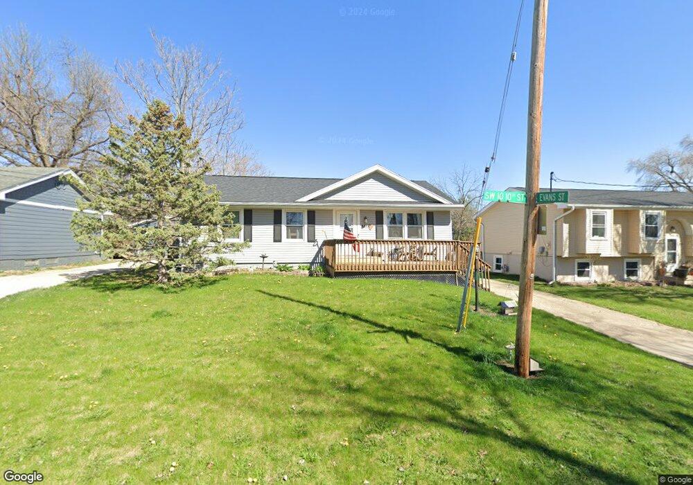
4817 SW 10th St Des Moines, IA 50315
Watrous South NeighborhoodEstimated Value: $167,000 - $228,091
--
Bed
1
Bath
1,040
Sq Ft
$200/Sq Ft
Est. Value
About This Home
This home is located at 4817 SW 10th St, Des Moines, IA 50315 and is currently estimated at $208,273, approximately $200 per square foot. 4817 SW 10th St is a home located in Polk County with nearby schools including Wright Elementary School, Brody Middle School, and Lincoln High School.
Ownership History
Date
Name
Owned For
Owner Type
Purchase Details
Closed on
Sep 22, 1997
Sold by
Pemberton Buford E and Pemberton Beulah P
Bought by
Held Scott Allen and Held Kimberly Marie
Current Estimated Value
Home Financials for this Owner
Home Financials are based on the most recent Mortgage that was taken out on this home.
Original Mortgage
$74,949
Outstanding Balance
$11,779
Interest Rate
7.63%
Mortgage Type
FHA
Estimated Equity
$196,494
Create a Home Valuation Report for This Property
The Home Valuation Report is an in-depth analysis detailing your home's value as well as a comparison with similar homes in the area
Home Values in the Area
Average Home Value in this Area
Purchase History
| Date | Buyer | Sale Price | Title Company |
|---|---|---|---|
| Held Scott Allen | $74,500 | -- |
Source: Public Records
Mortgage History
| Date | Status | Borrower | Loan Amount |
|---|---|---|---|
| Open | Held Scott Allen | $74,949 |
Source: Public Records
Tax History Compared to Growth
Tax History
| Year | Tax Paid | Tax Assessment Tax Assessment Total Assessment is a certain percentage of the fair market value that is determined by local assessors to be the total taxable value of land and additions on the property. | Land | Improvement |
|---|---|---|---|---|
| 2025 | $3,954 | $238,500 | $35,700 | $202,800 |
| 2024 | $3,954 | $211,500 | $31,100 | $180,400 |
| 2023 | $3,738 | $211,500 | $31,100 | $180,400 |
| 2022 | $3,708 | $167,500 | $25,600 | $141,900 |
| 2021 | $3,656 | $167,500 | $25,600 | $141,900 |
| 2020 | $3,792 | $155,100 | $24,000 | $131,100 |
| 2019 | $3,504 | $155,100 | $24,000 | $131,100 |
| 2018 | $3,464 | $138,900 | $20,900 | $118,000 |
| 2017 | $3,294 | $138,900 | $20,900 | $118,000 |
| 2016 | $3,204 | $130,300 | $19,400 | $110,900 |
| 2015 | $3,204 | $130,300 | $19,400 | $110,900 |
| 2014 | $2,740 | $115,900 | $16,800 | $99,100 |
Source: Public Records
Map
Nearby Homes
- 936 Mckinley Ave Unit 14
- 1116 Herold Ave
- 930 Emma Ave
- . Herold Ave
- 1203 Herold Ave
- 1229 Evans St
- 1243 Hackley Ave
- 1207 Emma Ave
- 4916 SW 13th St
- 1223 Emma Ave
- 1204 Elder Ln
- 612 Emma Ave
- 1207 Kenyon Ave
- 520 Hackley Ave
- 518 Maxwelton Dr
- 1219 Elder Ln
- 515 Emma Ave
- 5402 SW 8th St
- 5407 SW 9th St
- 5120 SW 14th St
- 4813 SW 10th St
- 4901 SW 10th St
- 4809 SW 10th St
- 4905 SW 10th St
- 1004 Evans St
- 4815 SW 10th St
- 4710 SW 10th St
- 1006 Evans St
- 936 Mckinley Ave Unit 22
- 936 Mckinley Ave Unit 21
- 936 Mckinley Ave Unit 20
- 936 Mckinley Ave Unit 19
- 936 Mckinley Ave Unit 18
- 936 Mckinley Ave Unit 17
- 936 Mckinley Ave Unit 16
- 936 Mckinley Ave Unit 15
- 936 Mckinley Ave Unit 13
- 936 Mckinley Ave Unit 12
- 936 Mckinley Ave Unit 11
- 936 Mckinley Ave Unit 10