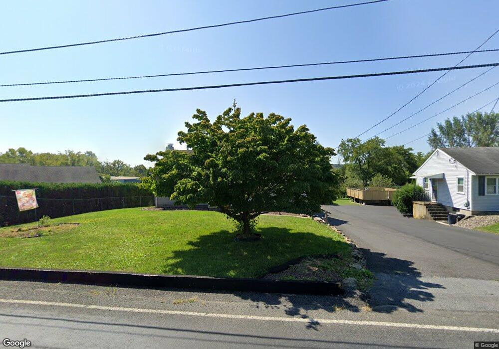
482 Belfast Rd Nazareth, PA 18064
Estimated Value: $297,080 - $335,000
3
Beds
1
Bath
1,332
Sq Ft
$236/Sq Ft
Est. Value
About This Home
This home is located at 482 Belfast Rd, Nazareth, PA 18064 and is currently estimated at $314,520, approximately $236 per square foot. 482 Belfast Rd is a home located in Northampton County with nearby schools including Kenneth N Butz Elementary School, Nazareth Area Middle School, and Nazareth Area High School.
Ownership History
Date
Name
Owned For
Owner Type
Purchase Details
Closed on
Nov 17, 2020
Sold by
Simonds Kenneth G and Simonds Sheila A
Bought by
Bruch Rodney A
Current Estimated Value
Home Financials for this Owner
Home Financials are based on the most recent Mortgage that was taken out on this home.
Original Mortgage
$216,015
Outstanding Balance
$190,017
Interest Rate
2.8%
Mortgage Type
FHA
Estimated Equity
$124,503
Purchase Details
Closed on
Mar 20, 2020
Sold by
Simonds Kenneth G and Simonds Sheila A
Bought by
Simionds Kenneth G and Simonds Sheila A
Home Financials for this Owner
Home Financials are based on the most recent Mortgage that was taken out on this home.
Original Mortgage
$180,800
Interest Rate
3.4%
Mortgage Type
New Conventional
Purchase Details
Closed on
Oct 1, 1989
Bought by
Simonds Kenneth S and Simonds Sheila A
Create a Home Valuation Report for This Property
The Home Valuation Report is an in-depth analysis detailing your home's value as well as a comparison with similar homes in the area
Home Values in the Area
Average Home Value in this Area
Purchase History
| Date | Buyer | Sale Price | Title Company |
|---|---|---|---|
| Bruch Rodney A | $220,000 | None Available | |
| Simionds Kenneth G | -- | Willow Settlement Svcs Inc | |
| Simonds Kenneth S | $93,000 | -- |
Source: Public Records
Mortgage History
| Date | Status | Borrower | Loan Amount |
|---|---|---|---|
| Open | Bruch Rodney A | $216,015 | |
| Previous Owner | Simionds Kenneth G | $180,800 |
Source: Public Records
Tax History
| Year | Tax Paid | Tax Assessment Tax Assessment Total Assessment is a certain percentage of the fair market value that is determined by local assessors to be the total taxable value of land and additions on the property. | Land | Improvement |
|---|---|---|---|---|
| 2026 | $570 | $52,800 | $16,400 | $36,400 |
| 2025 | $570 | $52,800 | $16,400 | $36,400 |
| 2024 | $4,003 | $52,800 | $16,400 | $36,400 |
| 2023 | $3,965 | $52,800 | $16,400 | $36,400 |
| 2022 | $3,965 | $52,800 | $16,400 | $36,400 |
| 2021 | $3,962 | $52,800 | $16,400 | $36,400 |
| 2020 | $3,962 | $52,800 | $16,400 | $36,400 |
| 2019 | $3,896 | $52,800 | $16,400 | $36,400 |
| 2018 | $3,832 | $52,800 | $16,400 | $36,400 |
| 2017 | $3,766 | $52,800 | $16,400 | $36,400 |
| 2016 | -- | $52,800 | $16,400 | $36,400 |
| 2015 | -- | $52,800 | $16,400 | $36,400 |
| 2014 | -- | $52,800 | $16,400 | $36,400 |
Source: Public Records
Map
Nearby Homes
- 500 Belfast Rd
- 0 Romaneve Dr
- 488 Sportsman Club Rd
- 617 School Rd
- 409 Colver Rd
- 968 Bangor Rd
- 901 Renaldi Rd
- 326 Main St
- 209 Donato Ct
- 511 E Lawn Rd
- 455 Bushkill Center Rd
- 4929 Farrcroft Dr Unit 83B
- 4905 Farrcroft Dr Unit 84C
- 59 Main St
- 1147 Jacobsburg Rd
- 6366 Sullivan Trail
- 4869 Farrcroft Dr Unit 85B
- 4780 Farrcroft Dr Unit 113
- 96 El Reno Ave
- 4704 Reston Dr
- 480 Belfast Rd
- 487 Henry Rd
- 481 Henry Rd
- 481 Henry Rd Unit North on Rt33
- 478 Belfast Rd
- 476 Belfast Rd
- 481 Belfast Rd
- 485 Belfast Rd
- 487 Belfast Rd
- 491 Belfast Rd
- 490 Belfast Rd
- 493 Belfast Rd
- 474 Belfast Rd
- 5871 Sullivan Trail
- 465 Belfast Rd
- 5897 Sullivan Trail
- 5887 Sullivan Trail
- 5891 Sullivan Trail
- 5893 Sullivan Trail
- 5895 Sullivan Trail
Your Personal Tour Guide
Ask me questions while you tour the home.