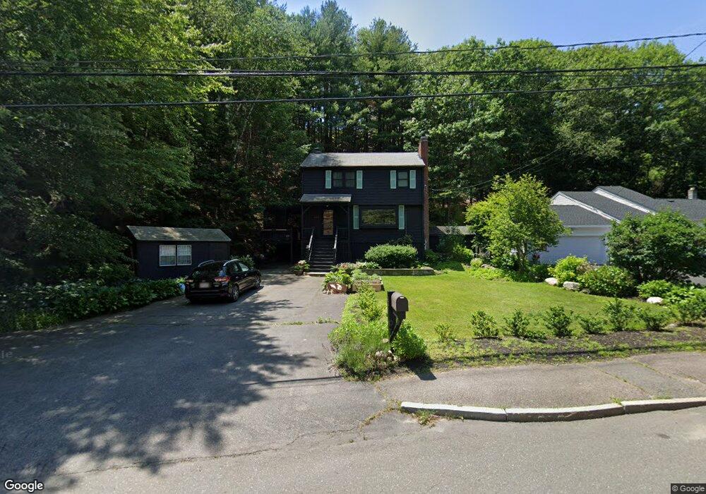
482 Main St Saugus, MA 01906
Oakland Vale NeighborhoodEstimated Value: $668,000 - $773,000
3
Beds
2
Baths
1,880
Sq Ft
$381/Sq Ft
Est. Value
About This Home
This home is located at 482 Main St, Saugus, MA 01906 and is currently estimated at $716,577, approximately $381 per square foot. 482 Main St is a home located in Essex County with nearby schools including Saugus High School, Pioneer Charter School Of Science II, and St Joseph School.
Ownership History
Date
Name
Owned For
Owner Type
Purchase Details
Closed on
Nov 4, 2011
Sold by
Grande Norma A
Bought by
482 Main Street Rt
Current Estimated Value
Purchase Details
Closed on
May 28, 1999
Sold by
Keenan Ornald F and Marchetta Ronald F
Bought by
Grande Robert E and Andrews-Grande Norma
Create a Home Valuation Report for This Property
The Home Valuation Report is an in-depth analysis detailing your home's value as well as a comparison with similar homes in the area
Home Values in the Area
Average Home Value in this Area
Purchase History
| Date | Buyer | Sale Price | Title Company |
|---|---|---|---|
| 482 Main Street Rt | -- | -- | |
| Grande Robert E | $198,000 | -- |
Source: Public Records
Mortgage History
| Date | Status | Borrower | Loan Amount |
|---|---|---|---|
| Previous Owner | Grande Robert E | $125,000 | |
| Previous Owner | Grande Robert E | $50,000 | |
| Previous Owner | Grande Robert E | $200,000 |
Source: Public Records
Tax History Compared to Growth
Tax History
| Year | Tax Paid | Tax Assessment Tax Assessment Total Assessment is a certain percentage of the fair market value that is determined by local assessors to be the total taxable value of land and additions on the property. | Land | Improvement |
|---|---|---|---|---|
| 2025 | $5,920 | $554,300 | $332,600 | $221,700 |
| 2024 | $5,542 | $520,400 | $302,500 | $217,900 |
| 2023 | $5,391 | $478,800 | $272,500 | $206,300 |
| 2022 | $5,152 | $429,000 | $249,300 | $179,700 |
| 2021 | $4,899 | $397,000 | $217,300 | $179,700 |
| 2020 | $4,613 | $387,000 | $207,300 | $179,700 |
| 2019 | $4,563 | $374,600 | $187,300 | $187,300 |
| 2018 | $4,249 | $366,900 | $182,300 | $184,600 |
| 2017 | $4,134 | $343,100 | $170,300 | $172,800 |
| 2016 | $3,692 | $302,600 | $161,900 | $140,700 |
| 2015 | $3,465 | $288,300 | $154,300 | $134,000 |
| 2014 | $3,488 | $300,400 | $154,300 | $146,100 |
Source: Public Records
Map
Nearby Homes
- 6 Castle Clare Cir
- 70 Old Nahant Rd
- 15 Shore Rd
- 21 Athens Dr
- 22 Mount Zion Rd
- 148 Forest St
- 905 Sherwood Forest Ln
- 9 Thomas St Unit 11
- 906 Lewis o Gray Dr
- 201 Water St
- 805 Lewis o Gray Dr
- 225 Howard St
- 9 Lilah Cir
- 14 Sycamore Rd
- 24 Myrtle Ave
- 199 Nahant St
- 3 Hickory Hill Rd Unit 1
- 1 Sidney St
- 1 Millbrook Ln Unit 304
- 134 Nahant St Unit B