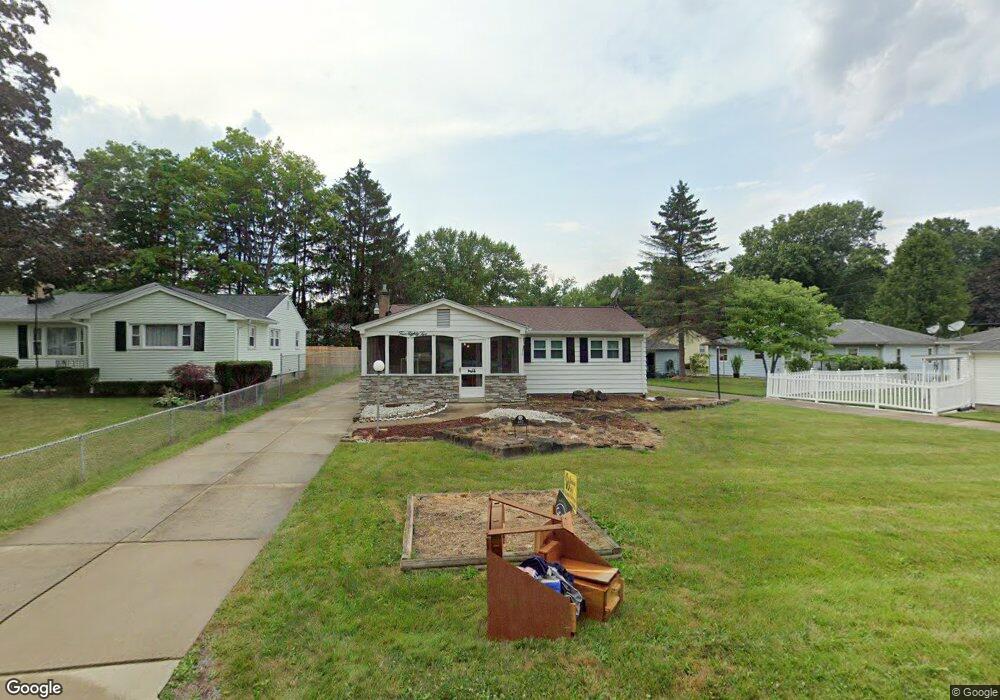
482 Meadowbrook Ave Youngstown, OH 44512
Estimated Value: $160,000 - $187,000
3
Beds
2
Baths
1,380
Sq Ft
$124/Sq Ft
Est. Value
About This Home
This home is located at 482 Meadowbrook Ave, Youngstown, OH 44512 and is currently estimated at $171,591, approximately $124 per square foot. 482 Meadowbrook Ave is a home located in Mahoning County with nearby schools including Boardman Glenwood Junior High School, Boardman High School, and Youngstown Christian School.
Ownership History
Date
Name
Owned For
Owner Type
Purchase Details
Closed on
Nov 7, 2023
Sold by
Starr Elizabeth J and Starr Betty Jane
Bought by
Starr Christine
Current Estimated Value
Purchase Details
Closed on
Dec 29, 2017
Sold by
Starr Edward J and Starr Elizabeth J
Bought by
Starr Edward J and Starr Elizabeth J
Purchase Details
Closed on
Dec 21, 2017
Sold by
Starr Edward J and Starr Elizabeth J
Bought by
Starr Edward J and Starr Elizabeth J
Create a Home Valuation Report for This Property
The Home Valuation Report is an in-depth analysis detailing your home's value as well as a comparison with similar homes in the area
Home Values in the Area
Average Home Value in this Area
Purchase History
| Date | Buyer | Sale Price | Title Company |
|---|---|---|---|
| Starr Christine | -- | -- | |
| Starr Edward J | -- | None Available | |
| Starr Edward J | -- | None Available |
Source: Public Records
Tax History Compared to Growth
Tax History
| Year | Tax Paid | Tax Assessment Tax Assessment Total Assessment is a certain percentage of the fair market value that is determined by local assessors to be the total taxable value of land and additions on the property. | Land | Improvement |
|---|---|---|---|---|
| 2024 | $2,273 | $43,340 | $5,710 | $37,630 |
| 2023 | $1,743 | $43,340 | $5,710 | $37,630 |
| 2022 | $1,340 | $28,650 | $5,290 | $23,360 |
| 2021 | $1,341 | $28,650 | $5,290 | $23,360 |
| 2020 | $1,348 | $28,650 | $5,290 | $23,360 |
| 2019 | $1,240 | $24,480 | $4,520 | $19,960 |
| 2018 | $1,037 | $24,480 | $4,520 | $19,960 |
| 2017 | $1,016 | $24,480 | $4,520 | $19,960 |
| 2016 | $1,184 | $26,960 | $5,320 | $21,640 |
| 2015 | $1,161 | $26,960 | $5,320 | $21,640 |
| 2014 | $1,164 | $26,960 | $5,320 | $21,640 |
| 2013 | $1,150 | $26,960 | $5,320 | $21,640 |
Source: Public Records
Map
Nearby Homes
- 0 Mulberry Ln Unit 5119623
- 424 Mathews Rd
- 0 Moyer Ave
- 0 Cranberry Ln Unit 5119702
- 796 Edenridge Dr
- 323 Melrose Ave
- 928 Edenridge Dr
- 792 Forest Ridge Dr
- 429 Tudor Ln
- 268 Erskine Ave
- 0 Indianola Rd
- 6229 Appleridge Dr
- 0 Mathews Rd Unit 5038026
- 744 Nellbert Ln
- 857 Maple Ridge Dr
- 6001 Applecrest Dr
- 6278 Appleridge Dr
- 167 Afton Ave
- 178 Mathews Rd
- 642 Oakridge Dr
- 474 Meadowbrook Ave
- 575 Afton Ave
- 555 Afton Ave
- 595 Afton Ave
- 466 Meadowbrook Ave
- 525 Afton Ave
- 9 Cathy Way
- 479 Meadowbrook Ave
- 460 Meadowbrook Ave
- 605 Afton Ave
- 471 Meadowbrook Ave
- 13 Cathy Way
- 505 Afton Ave
- 454 Meadowbrook Ave
- 469 Meadowbrook Ave
- 615 Afton Ave
- 17 Cathy Way
- 550 Afton Ave
- 580 Afton Ave