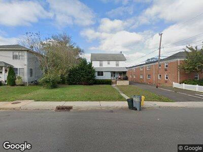
482 Sairs Ave Long Branch, NJ 07740
West End NeighborhoodEstimated Value: $795,599 - $1,210,000
4
Beds
2
Baths
1,680
Sq Ft
$561/Sq Ft
Est. Value
About This Home
This home is located at 482 Sairs Ave, Long Branch, NJ 07740 and is currently estimated at $942,150, approximately $560 per square foot. 482 Sairs Ave is a home located in Monmouth County with nearby schools including Long Branch High School, Holy Trinity School, and Bet Yaakov of the Jersey Shore.
Create a Home Valuation Report for This Property
The Home Valuation Report is an in-depth analysis detailing your home's value as well as a comparison with similar homes in the area
Home Values in the Area
Average Home Value in this Area
Tax History Compared to Growth
Tax History
| Year | Tax Paid | Tax Assessment Tax Assessment Total Assessment is a certain percentage of the fair market value that is determined by local assessors to be the total taxable value of land and additions on the property. | Land | Improvement |
|---|---|---|---|---|
| 2024 | $8,601 | $623,500 | $408,200 | $215,300 |
| 2023 | $8,601 | $553,800 | $333,200 | $220,600 |
| 2022 | $6,927 | $468,000 | $273,700 | $194,300 |
| 2021 | $6,927 | $346,200 | $201,700 | $144,500 |
| 2020 | $6,820 | $326,300 | $182,700 | $143,600 |
| 2019 | $6,720 | $319,700 | $182,700 | $137,000 |
| 2018 | $6,735 | $318,600 | $186,700 | $131,900 |
| 2017 | $6,350 | $308,100 | $178,700 | $129,400 |
| 2016 | $6,259 | $309,700 | $183,700 | $126,000 |
| 2015 | $5,543 | $248,900 | $91,600 | $157,300 |
| 2014 | $5,380 | $254,600 | $115,000 | $139,600 |
Source: Public Records
Map
Nearby Homes
- 512 Sairs Ave
- 147 W End Ave
- 119 Avery Ave Unit D10
- 460 Ocean Blvd Unit M
- 1 Howland Ave
- 252 W End Ave
- 245 Brighton Ave
- 8 W End Ct
- 480 Ocean Ave Unit 2K
- 525 Ocean Blvd Unit 303
- 510 Ocean Ave Unit 3
- 9 Coral Place
- 299 Brighton Ave
- 448 Ocean Ave Unit 1A
- 448 Ocean Ave Unit 26A
- 3 Kelly Ln
- 14 Tower Rd
- 65 Cedar Ave Unit A17
- 6 Tower Rd
- 495 Westwood Ave