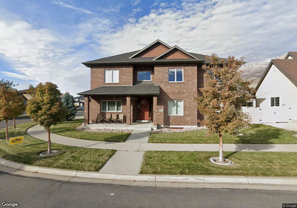
482 W 1810 N Orem, UT 84057
Northridge NeighborhoodEstimated Value: $728,000 - $952,000
4
Beds
4
Baths
3,256
Sq Ft
$257/Sq Ft
Est. Value
About This Home
This home is located at 482 W 1810 N, Orem, UT 84057 and is currently estimated at $836,097, approximately $256 per square foot. 482 W 1810 N is a home located in Utah County with nearby schools including Northridge Elementary School, Oak Canyon Junior High School, and Timpanogos High School.
Ownership History
Date
Name
Owned For
Owner Type
Purchase Details
Closed on
Mar 29, 2021
Sold by
Guymon Conrad and Guymon Michelle
Bought by
Guymon Conrad and Guymon Michelle L
Current Estimated Value
Purchase Details
Closed on
May 29, 2008
Sold by
Platinum Development & Construction Inc
Bought by
Guymon Conrad and Guymon Michelle
Home Financials for this Owner
Home Financials are based on the most recent Mortgage that was taken out on this home.
Original Mortgage
$111,930
Interest Rate
5.25%
Mortgage Type
Purchase Money Mortgage
Create a Home Valuation Report for This Property
The Home Valuation Report is an in-depth analysis detailing your home's value as well as a comparison with similar homes in the area
Home Values in the Area
Average Home Value in this Area
Purchase History
| Date | Buyer | Sale Price | Title Company |
|---|---|---|---|
| Guymon Conrad | -- | None Available | |
| Guymon Conrad | -- | Surety Title |
Source: Public Records
Mortgage History
| Date | Status | Borrower | Loan Amount |
|---|---|---|---|
| Closed | Guymon Conrad | $111,930 |
Source: Public Records
Tax History
| Year | Tax Paid | Tax Assessment Tax Assessment Total Assessment is a certain percentage of the fair market value that is determined by local assessors to be the total taxable value of land and additions on the property. | Land | Improvement |
|---|---|---|---|---|
| 2025 | $3,354 | $427,735 | -- | -- |
| 2024 | $3,354 | $410,135 | $0 | $0 |
| 2023 | $3,147 | $413,545 | $0 | $0 |
| 2022 | $3,031 | $385,880 | $0 | $0 |
| 2021 | $2,750 | $530,400 | $188,400 | $342,000 |
| 2020 | $2,583 | $489,500 | $163,800 | $325,700 |
| 2019 | $2,464 | $485,700 | $163,800 | $321,900 |
| 2018 | $2,578 | $485,400 | $163,800 | $321,600 |
| 2017 | $2,532 | $255,420 | $0 | $0 |
| 2016 | $2,638 | $245,410 | $0 | $0 |
| 2015 | $2,685 | $236,225 | $0 | $0 |
| 2014 | $2,652 | $232,210 | $0 | $0 |
Source: Public Records
Map
Nearby Homes
- 1916 N 430 W
- 127 S 400 E
- 1744 N 280 W
- 90 S 200 E
- 1545 N State St Unit 1
- 1547 N 275 West St Unit 5
- 240 E Center St
- 1566 N 275 West St Unit 1
- 1552 N 740 W
- 1548 N 275 West St Unit 2
- 1917 N 860 W
- 1461 N Amiron Way Unit B
- 512 W 1450 N
- 49 W 1880 N
- 527 W 1450 N
- 229 E 60 N
- 332 W Amiron Way Unit D
- 92 W 1565 N
- 967 W 1630 N
- 287 W 1380 N
Your Personal Tour Guide
Ask me questions while you tour the home.