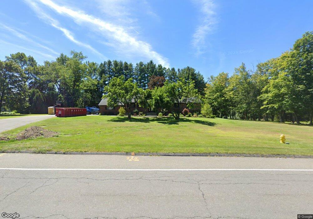
482 Williams St Pittsfield, MA 01201
Estimated Value: $537,779 - $602,000
3
Beds
3
Baths
2,005
Sq Ft
$282/Sq Ft
Est. Value
About This Home
This home is located at 482 Williams St, Pittsfield, MA 01201 and is currently estimated at $565,945, approximately $282 per square foot. 482 Williams St is a home located in Berkshire County with nearby schools including Egremont Elementary School, Theodore Herberg Middle School, and Pittsfield High School.
Ownership History
Date
Name
Owned For
Owner Type
Purchase Details
Closed on
Dec 3, 2024
Sold by
Mancivalano Mark A and Mancivalano Taryn M
Bought by
Mancivalano Mark A
Current Estimated Value
Purchase Details
Closed on
Oct 31, 1996
Sold by
Lipton Anne R
Bought by
Mancivalano Mark A and Mancivalano Taryn M
Home Financials for this Owner
Home Financials are based on the most recent Mortgage that was taken out on this home.
Original Mortgage
$160,550
Interest Rate
8.07%
Mortgage Type
Purchase Money Mortgage
Create a Home Valuation Report for This Property
The Home Valuation Report is an in-depth analysis detailing your home's value as well as a comparison with similar homes in the area
Home Values in the Area
Average Home Value in this Area
Purchase History
| Date | Buyer | Sale Price | Title Company |
|---|---|---|---|
| Mancivalano Mark A | -- | None Available | |
| Mancivalano Mark A | -- | None Available | |
| Mancivalano Mark A | $169,000 | -- | |
| Mancivalano Mark A | $169,000 | -- |
Source: Public Records
Mortgage History
| Date | Status | Borrower | Loan Amount |
|---|---|---|---|
| Previous Owner | Mancivalano Mark A | $228,000 | |
| Previous Owner | Mancivalano Mark A | $34,000 | |
| Previous Owner | Mancivalano Mark A | $160,550 |
Source: Public Records
Tax History Compared to Growth
Tax History
| Year | Tax Paid | Tax Assessment Tax Assessment Total Assessment is a certain percentage of the fair market value that is determined by local assessors to be the total taxable value of land and additions on the property. | Land | Improvement |
|---|---|---|---|---|
| 2025 | $8,461 | $471,600 | $101,800 | $369,800 |
| 2024 | $8,413 | $456,000 | $101,800 | $354,200 |
| 2023 | $7,583 | $413,900 | $91,800 | $322,100 |
| 2022 | $6,813 | $367,100 | $86,800 | $280,300 |
| 2021 | $6,264 | $325,400 | $86,800 | $238,600 |
| 2020 | $6,250 | $317,100 | $86,800 | $230,300 |
| 2019 | $5,785 | $297,900 | $81,800 | $216,100 |
| 2018 | $5,859 | $292,800 | $81,800 | $211,000 |
| 2017 | $5,691 | $289,900 | $86,800 | $203,100 |
| 2016 | $5,384 | $287,000 | $86,800 | $200,200 |
| 2015 | $5,183 | $287,000 | $86,800 | $200,200 |
Source: Public Records
Map
Nearby Homes
- 25 E New Lenox Rd
- 106 Sampson Pkwy
- 99 Cambridge Ave
- 44 Marcella Ave
- 40 Sampson Pkwy
- 157 Maple Grove Dr
- 25 Putnam Ave
- 11 Sampson Pkwy
- 51 Foote Ave
- 76 Alfred Dr
- 72 Cleveland St
- 787 Williams St
- 100 Holmes Rd
- 16 Revere Pkwy
- 30 Belvidere Ave
- 50 Bellmore Dr
- 39 Lexington Pkwy
- 75 Livingston Ave
- 31 Lexington Pkwy
- 3 Tampa Ct
- 490 Williams St
- 464 Williams St
- 485 Williams St
- 475 Williams St
- 118 Adelaide Ave
- 491 Williams St
- 111 Adelaide Ave
- 450 Williams St
- 457 Williams St
- 507 Williams St
- 110 Adelaide Ave
- 101 Adelaide Ave
- 22 E New Lenox Rd
- 82 Donna Ave
- 434 Williams St
- 100 Adelaide Ave
- 447 Williams St
- 95 Adelaide Ave
- 125 Dodge Ave
- 515 Williams St