4821 Alvin Sperry Rd Mount Juliet, TN 37122
Estimated Value: $533,000 - $718,695
3
Beds
2
Baths
1,755
Sq Ft
$341/Sq Ft
Est. Value
About This Home
This home is located at 4821 Alvin Sperry Rd, Mount Juliet, TN 37122 and is currently estimated at $597,674, approximately $340 per square foot. 4821 Alvin Sperry Rd is a home located in Davidson County with nearby schools including Ruby Major Elementary School, Donelson Middle School, and McGavock High School.
Ownership History
Date
Name
Owned For
Owner Type
Purchase Details
Closed on
Mar 3, 2006
Sold by
Yoder Ray Allen and Yoder Sherry Ray
Bought by
Tucker James R and Tucker Julie L
Current Estimated Value
Home Financials for this Owner
Home Financials are based on the most recent Mortgage that was taken out on this home.
Original Mortgage
$230,000
Outstanding Balance
$118,851
Interest Rate
4.75%
Estimated Equity
$478,823
Create a Home Valuation Report for This Property
The Home Valuation Report is an in-depth analysis detailing your home's value as well as a comparison with similar homes in the area
Home Values in the Area
Average Home Value in this Area
Purchase History
| Date | Buyer | Sale Price | Title Company |
|---|---|---|---|
| Tucker James R | $197,000 | First National Financial Tit |
Source: Public Records
Mortgage History
| Date | Status | Borrower | Loan Amount |
|---|---|---|---|
| Open | Tucker James R | $230,000 |
Source: Public Records
Tax History Compared to Growth
Tax History
| Year | Tax Paid | Tax Assessment Tax Assessment Total Assessment is a certain percentage of the fair market value that is determined by local assessors to be the total taxable value of land and additions on the property. | Land | Improvement |
|---|---|---|---|---|
| 2024 | $3,023 | $103,450 | $49,250 | $54,200 |
| 2023 | $3,023 | $103,450 | $49,250 | $54,200 |
| 2022 | $3,023 | $103,450 | $49,250 | $54,200 |
| 2021 | $3,055 | $103,450 | $49,250 | $54,200 |
| 2020 | $2,619 | $69,150 | $30,000 | $39,150 |
| 2019 | $1,905 | $69,150 | $30,000 | $39,150 |
| 2018 | $1,905 | $69,150 | $30,000 | $39,150 |
| 2017 | $1,905 | $69,150 | $30,000 | $39,150 |
| 2016 | $2,010 | $51,225 | $22,500 | $28,725 |
| 2015 | $2,010 | $51,225 | $22,500 | $28,725 |
| 2014 | $2,010 | $51,225 | $22,500 | $28,725 |
Source: Public Records
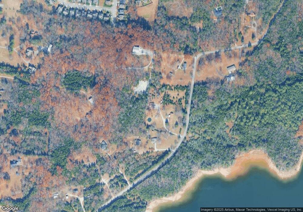
Map
Nearby Homes
- 2740 Alvin Sperry Pass
- 2704 Alvin Sperry Pass
- 4701 Hessey Rd
- 1001 Cherry Tree Dr
- 1005 Cherry Tree Dr
- Wellsley Plan at Ashton Park - 62'
- Leighland Plan at Ashton Park - 62'
- Dahlia Plan at Ashton Park - 62'
- Courtland Plan at Ashton Park - 62'
- 1040 Cherry Tree
- 1048 Cherry Tree Dr
- 1348 Ashton Park Dr
- 1368 Ashton Park Dr
- 1357 Ashton Park Dr
- 3427 Earhart Rd
- Alton Plan at Ashton Park - 55'
- Paisley Plan at Ashton Park - 55'
- Roseland II Plan at Ashton Park - 55'
- Ashland Plan at Ashton Park - 55'
- Oakland Plan at Ashton Park - 55'
- 4815 Alvin Sperry Rd
- 4811 Alvin Sperry Rd
- 4845 Alvin Sperry Rd
- 4839 Alvin Sperry Rd
- 4787 Alvin Sperry Rd
- 4756 Alvin Sperry Rd
- 3597 Earhart Rd
- 4769 Alvin Sperry Rd
- 4849 Alvin Sperry Rd
- 2785 Alvin Sperry Pass
- 2781 Alvin Sperry Pass
- 4765 Alvin Sperry Rd
- 4855 Alvin Sperry Rd
- 2777 Alvin Sperry Pass
- 2865 Lakeside Meadows Cir
- 2861 Lakeside Meadows Cir
- 2598 Hessey Pass
- 2773 Alvin Sperry Pass
- 2596 Hessey Pass
- 2857 Lakeside Meadows Cir