4825 W Locust St Davenport, IA 52804
Northwest Davenport NeighborhoodEstimated Value: $343,000 - $416,000
3
Beds
4
Baths
2,111
Sq Ft
$180/Sq Ft
Est. Value
About This Home
This home is located at 4825 W Locust St, Davenport, IA 52804 and is currently estimated at $380,748, approximately $180 per square foot. 4825 W Locust St is a home located in Scott County with nearby schools including Walnut Hill Elementary School, South Christian Elementary School, and Frank L. Smart Intermediate School.
Ownership History
Date
Name
Owned For
Owner Type
Purchase Details
Closed on
Jul 17, 2017
Sold by
Gall Scott A and Gall Ranae Ralfs
Bought by
Gall Scott A and Gall Ranae Ralfs
Current Estimated Value
Purchase Details
Closed on
Jun 5, 2007
Sold by
Zamora Juan O and Zamora Patricia E
Bought by
Gall Scott A and Ralfs Gall Ranae S
Home Financials for this Owner
Home Financials are based on the most recent Mortgage that was taken out on this home.
Original Mortgage
$225,000
Outstanding Balance
$137,084
Interest Rate
6.2%
Mortgage Type
New Conventional
Estimated Equity
$243,664
Purchase Details
Closed on
May 31, 2007
Sold by
Catree Christopher Allyn and Cartee Catherine Anne
Bought by
Zamora Juan O and Zamora Patricia E
Home Financials for this Owner
Home Financials are based on the most recent Mortgage that was taken out on this home.
Original Mortgage
$225,000
Outstanding Balance
$137,084
Interest Rate
6.2%
Mortgage Type
New Conventional
Estimated Equity
$243,664
Create a Home Valuation Report for This Property
The Home Valuation Report is an in-depth analysis detailing your home's value as well as a comparison with similar homes in the area
Home Values in the Area
Average Home Value in this Area
Purchase History
| Date | Buyer | Sale Price | Title Company |
|---|---|---|---|
| Gall Scott A | -- | None Available | |
| Gall Scott A | $250,000 | None Available | |
| Zamora Juan O | -- | None Available |
Source: Public Records
Mortgage History
| Date | Status | Borrower | Loan Amount |
|---|---|---|---|
| Open | Gall Scott A | $225,000 | |
| Closed | Zamora Juan O | $225,000 |
Source: Public Records
Tax History Compared to Growth
Tax History
| Year | Tax Paid | Tax Assessment Tax Assessment Total Assessment is a certain percentage of the fair market value that is determined by local assessors to be the total taxable value of land and additions on the property. | Land | Improvement |
|---|---|---|---|---|
| 2025 | $5,620 | $375,980 | $30,500 | $345,480 |
| 2024 | $5,480 | $324,700 | $30,500 | $294,200 |
| 2023 | $5,950 | $324,700 | $30,500 | $294,200 |
| 2022 | $5,976 | $287,440 | $27,450 | $259,990 |
| 2021 | $5,976 | $287,440 | $27,450 | $259,990 |
| 2020 | $5,646 | $268,690 | $27,450 | $241,240 |
| 2019 | $5,716 | $263,310 | $27,450 | $235,860 |
| 2018 | $5,414 | $263,310 | $27,450 | $235,860 |
| 2017 | $1,420 | $255,280 | $27,450 | $227,830 |
| 2016 | $5,400 | $255,280 | $0 | $0 |
| 2015 | $5,400 | $250,380 | $0 | $0 |
| 2014 | $5,368 | $244,320 | $0 | $0 |
| 2013 | $5,138 | $0 | $0 | $0 |
| 2012 | -- | $235,270 | $31,130 | $204,140 |
Source: Public Records
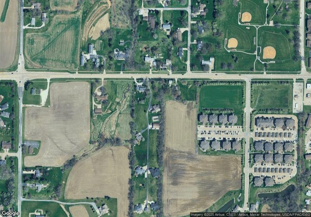
Map
Nearby Homes
- 4836 W Pleasant St
- 1210 Eagle's Crest Dr
- 4703 W 13th St
- 5321 Friendship Dr Unit 5320
- 1312 Emerald Dr
- 4620 W 11th St
- 5521 Baraboo Ct
- 2218 Emerald Dr
- 5529 Baraboo Ct
- 2025 Emerald Dr
- 4738 W 11th St
- 1310 Calvin St
- 1422 Racine Ct
- 1515 Rhinelander Dr
- 1215 Calvin St
- 1536 Rhinelander Dr
- 2230 Emerald Dr
- 1139 Calvin St
- 1729 Jenna Dr
- 3920 W 13th St
- 4903 W Locust St
- 4819 W Locust St
- 4841 W Locust St
- 4822 W Locust St
- 4902 W Locust St
- 1918 Oklahoma Ave
- 4927 W Locust St
- 4924 W Locust St
- 4726 W Locust St
- 4835 W Locust St
- 4839 W Locust St
- 5102 W Locust St
- 1923 Oklahoma Ave
- 1956 Oklahoma Ave
- 4833 W Pleasant St
- 4819 W Pleasant St
- 5000 Locust St
- 1943 Oklahoma Ave
- 1702 Eagles Crest Ave
- 4833 W Locust St