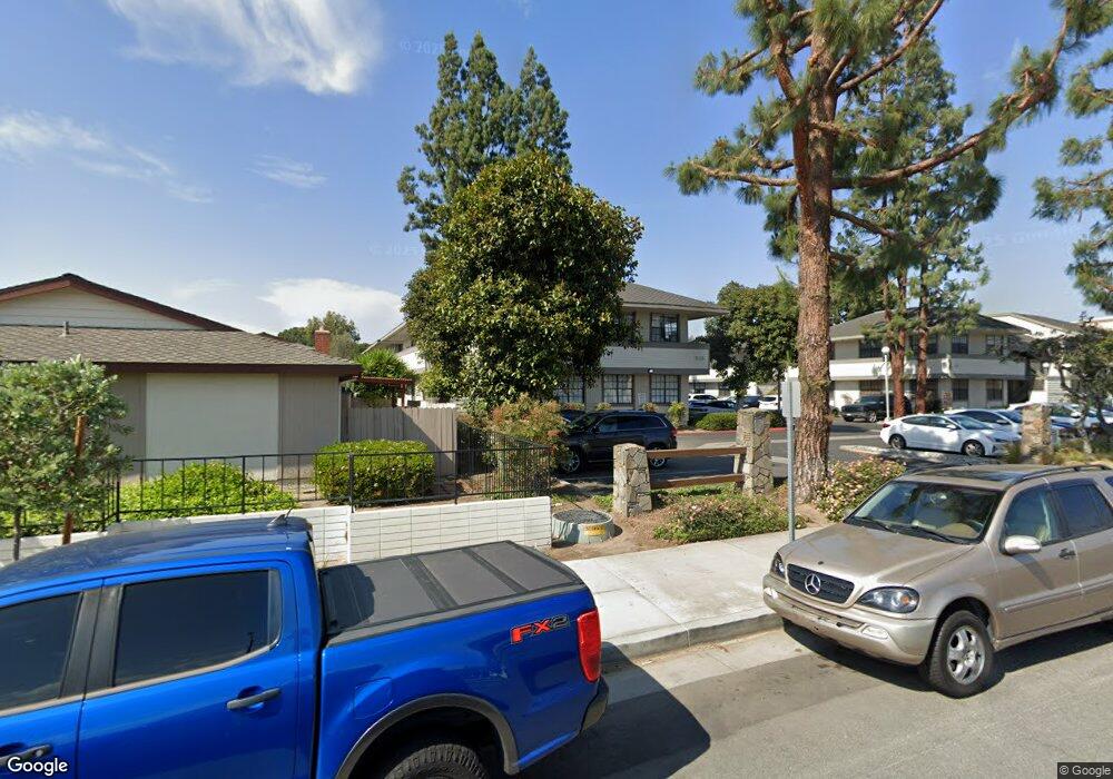
483 E 1st St Tustin, CA 92780
Estimated Value: $586,000 - $660,000
2
Beds
2
Baths
1,104
Sq Ft
$557/Sq Ft
Est. Value
About This Home
This home is located at 483 E 1st St, Tustin, CA 92780 and is currently estimated at $615,160, approximately $557 per square foot. 483 E 1st St is a home located in Orange County with nearby schools including Guin Foss Elementary School, Columbus Tustin Middle School, and Foothill High School.
Ownership History
Date
Name
Owned For
Owner Type
Purchase Details
Closed on
Apr 17, 2012
Sold by
Rock Randolph D
Bought by
Rock Randolph D and Randolph D Rock Revocable Trust
Current Estimated Value
Purchase Details
Closed on
May 25, 1999
Sold by
Denham Billy D and Denham Donna F
Bought by
Rock Randolph D
Home Financials for this Owner
Home Financials are based on the most recent Mortgage that was taken out on this home.
Original Mortgage
$117,180
Outstanding Balance
$29,452
Interest Rate
7.2%
Mortgage Type
FHA
Estimated Equity
$585,708
Create a Home Valuation Report for This Property
The Home Valuation Report is an in-depth analysis detailing your home's value as well as a comparison with similar homes in the area
Home Values in the Area
Average Home Value in this Area
Purchase History
| Date | Buyer | Sale Price | Title Company |
|---|---|---|---|
| Rock Randolph D | -- | None Available | |
| Rock Randolph D | $120,000 | Chicago Title Co |
Source: Public Records
Mortgage History
| Date | Status | Borrower | Loan Amount |
|---|---|---|---|
| Open | Rock Randolph D | $117,180 |
Source: Public Records
Tax History
| Year | Tax Paid | Tax Assessment Tax Assessment Total Assessment is a certain percentage of the fair market value that is determined by local assessors to be the total taxable value of land and additions on the property. | Land | Improvement |
|---|---|---|---|---|
| 2025 | $2,411 | $188,115 | $102,934 | $85,181 |
| 2024 | $2,411 | $184,427 | $100,916 | $83,511 |
| 2023 | $2,341 | $180,811 | $98,937 | $81,874 |
| 2022 | $2,293 | $177,266 | $96,997 | $80,269 |
| 2021 | $2,249 | $173,791 | $95,095 | $78,696 |
| 2020 | $2,235 | $172,009 | $94,119 | $77,890 |
| 2019 | $2,187 | $168,637 | $92,274 | $76,363 |
| 2018 | $2,153 | $165,331 | $90,465 | $74,866 |
| 2017 | $2,117 | $162,090 | $88,691 | $73,399 |
| 2016 | $2,081 | $158,912 | $86,952 | $71,960 |
| 2015 | $2,169 | $156,525 | $85,645 | $70,880 |
| 2014 | $2,117 | $153,459 | $83,967 | $69,492 |
Source: Public Records
Map
Nearby Homes
- 17956 Irvine Blvd
- 17926 Irvine Blvd
- 139 Jessup Way
- 119 Jessup Way
- 135 El Camino Real
- 2171 Lemon Heights
- 14682 Holt Ave
- 1042 San Juan St
- 1271 Garland Ave
- 153 Balsawood
- 148 Balsawood
- 152 Balsawood
- 156 Balsawood
- 154 Balsawood
- 14272 Acacia Dr
- 17782 Arbolada Way
- 1056 Walter Ave
- 13691 Red Hill Ave
- 13381 Epping Way
- 13652 Red Hill Ave Unit C
- 481 E 1st St
- 485 E 1st St
- 487 E 1st St
- 461 E 1st St
- 459 E 1st St
- 489 E 1st St Unit 15
- 451 E 1st St Unit 44
- 451 E 1st St Unit 31
- 477 E 1st St
- 449 E 1st St
- 463 E 1st St
- 507 E 1st St
- 507 E 1st St Unit 6
- 507 E 1st St Unit 27
- 507 E 1st St Unit 26B
- 507 E 1st St Unit 26A
- 507 E 1st St Unit 5B
- 507 E 1st St Unit 5A
- 507 E 1st St Unit 4
- 507 E 1st St Unit 25
Your Personal Tour Guide
Ask me questions while you tour the home.