Estimated Value: $251,852 - $354,000
Studio
--
Bath
2,226
Sq Ft
$139/Sq Ft
Est. Value
About This Home
This home is located at 483 Leeville Rd, Petal, MS 39465 and is currently estimated at $309,963, approximately $139 per square foot. 483 Leeville Rd is a home located in Forrest County with nearby schools including Petal Primary School, Petal Elementary School, and Petal Middle School.
Ownership History
Date
Name
Owned For
Owner Type
Purchase Details
Closed on
Sep 16, 2019
Sold by
Camp Edwin Bruce and Camp Evelyn Louis
Bought by
Camp Edwin Bruce
Current Estimated Value
Purchase Details
Closed on
Sep 26, 2013
Sold by
Camp Edwin Bruce and Shirley Lisa K
Bought by
Camp Edwin Bruce and Camp Evelyn Louise
Home Financials for this Owner
Home Financials are based on the most recent Mortgage that was taken out on this home.
Original Mortgage
$166,500
Interest Rate
4.53%
Mortgage Type
New Conventional
Create a Home Valuation Report for This Property
The Home Valuation Report is an in-depth analysis detailing your home's value as well as a comparison with similar homes in the area
Purchase History
| Date | Buyer | Sale Price | Title Company |
|---|---|---|---|
| Camp Edwin Bruce | -- | -- | |
| Camp Edwin Bruce | -- | -- |
Source: Public Records
Mortgage History
| Date | Status | Borrower | Loan Amount |
|---|---|---|---|
| Previous Owner | Camp Edwin Bruce | $166,500 |
Source: Public Records
Tax History
| Year | Tax Paid | Tax Assessment Tax Assessment Total Assessment is a certain percentage of the fair market value that is determined by local assessors to be the total taxable value of land and additions on the property. | Land | Improvement |
|---|---|---|---|---|
| 2025 | $811 | $14,879 | $0 | $0 |
| 2024 | $811 | $13,648 | $0 | $0 |
| 2023 | $810 | $136,300 | $0 | $0 |
| 2022 | $1,429 | $13,651 | $0 | $0 |
| 2021 | $1,441 | $13,653 | $0 | $0 |
| 2020 | $1,398 | $13,216 | $0 | $0 |
| 2019 | $1,394 | $13,218 | $0 | $0 |
| 2018 | $1,398 | $13,219 | $0 | $0 |
| 2017 | $1,422 | $13,218 | $0 | $0 |
| 2016 | $1,349 | $12,711 | $0 | $0 |
| 2015 | $1,316 | $127,044 | $0 | $0 |
| 2014 | $1,285 | $12,701 | $0 | $0 |
Source: Public Records
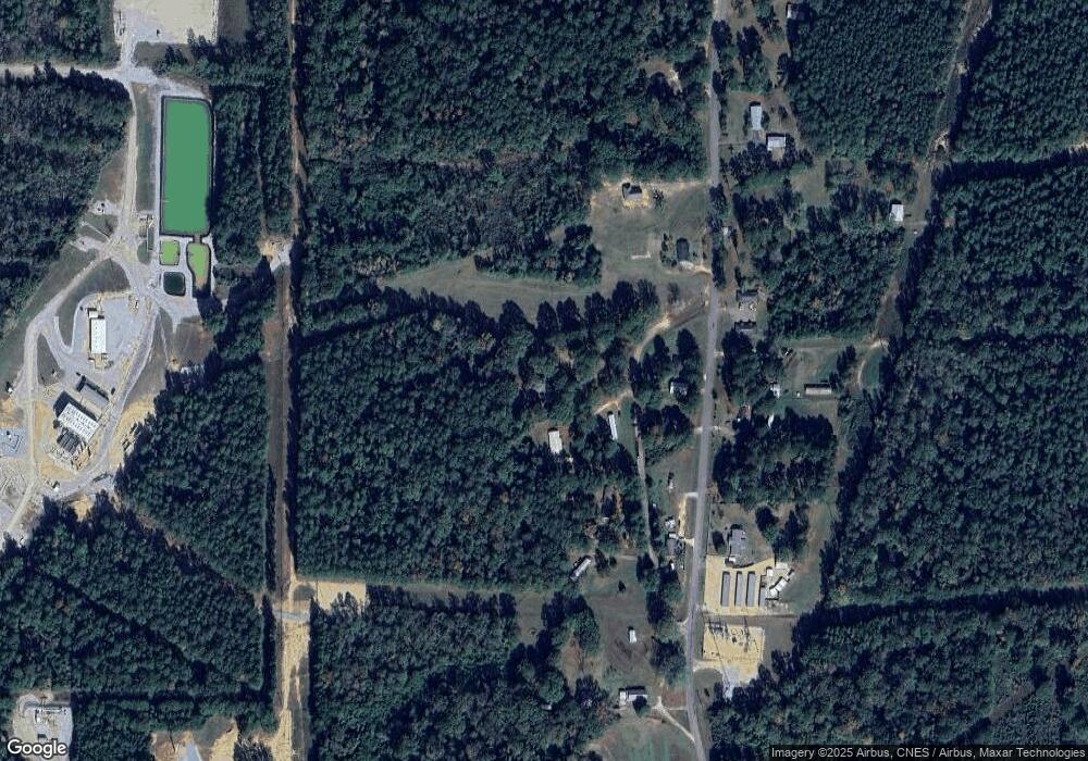
Map
Nearby Homes
- 535 Leeville Rd
- 48 Vermont Dr
- 29 Vermont Dr
- 160 Highland Cir
- 673 Leeville Rd
- 243 Beverly Hills Loop
- Lot 152 Fairview Dr
- Lot 153 Fairview Dr
- 107 Fairview Dr
- 200 Skyland Terrace
- 75 Otis Lee Rd
- 0 Village Loop
- 100 Albert St
- 113 Green Hill Dr
- 207 Bryant St
- 15 Kelly Rose Ln
- 5.5 +/- Evelyn Gandy Pkwy
- 1123 Evelyn Gandy Pkwy
- 12 Heartstone
- 6 Heartstone
- 473 Leeville Rd
- 475 Leeville Rd
- 471 Leeville Rd
- 501 Leeville Rd
- 462 Leeville Rd
- 463 Leeville Rd
- 506 Leeville Rd
- 382 Leeville Rd
- 516 Leeville Rd
- 380 Leeville Rd
- 521 Leeville Rd
- 429 Leeville Rd
- 40 Culpepper Ln
- 415 Leeville Rd
- 533 Leeville Rd
- 543 Leeville Rd
- 414 Leeville Rd
- 542 Leeville Rd
- 409 Leeville Rd
- 568 Leeville Rd
Your Personal Tour Guide
Ask me questions while you tour the home.