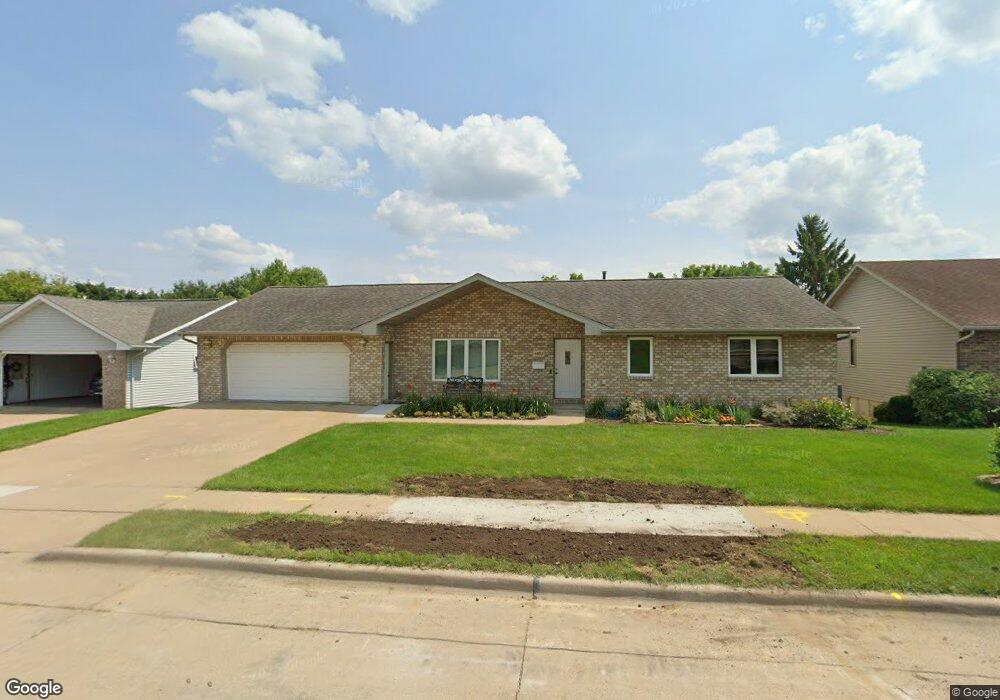
4832 Camelot Dr Dubuque, IA 52002
Estimated Value: $347,000 - $419,000
3
Beds
3
Baths
1,861
Sq Ft
$206/Sq Ft
Est. Value
About This Home
This home is located at 4832 Camelot Dr, Dubuque, IA 52002 and is currently estimated at $382,971, approximately $205 per square foot. 4832 Camelot Dr is a home located in Dubuque County with nearby schools including Carver Elementary School, Eleanor Roosevelt Middle School, and Hempstead High School.
Ownership History
Date
Name
Owned For
Owner Type
Purchase Details
Closed on
Sep 11, 2015
Sold by
Funke Kevin D and Funke Susan K
Bought by
Peterson Christopher D and Peterson Suzanne R
Current Estimated Value
Home Financials for this Owner
Home Financials are based on the most recent Mortgage that was taken out on this home.
Original Mortgage
$223,250
Outstanding Balance
$175,707
Interest Rate
3.97%
Mortgage Type
New Conventional
Estimated Equity
$207,264
Create a Home Valuation Report for This Property
The Home Valuation Report is an in-depth analysis detailing your home's value as well as a comparison with similar homes in the area
Purchase History
| Date | Buyer | Sale Price | Title Company |
|---|---|---|---|
| Peterson Christopher D | $235,000 | None Available |
Source: Public Records
Mortgage History
| Date | Status | Borrower | Loan Amount |
|---|---|---|---|
| Open | Peterson Christopher D | $223,250 |
Source: Public Records
Tax History
| Year | Tax Paid | Tax Assessment Tax Assessment Total Assessment is a certain percentage of the fair market value that is determined by local assessors to be the total taxable value of land and additions on the property. | Land | Improvement |
|---|---|---|---|---|
| 2025 | $5,084 | $366,800 | $45,800 | $321,000 |
| 2024 | $5,084 | $353,600 | $43,700 | $309,900 |
| 2023 | $4,936 | $353,600 | $43,700 | $309,900 |
| 2022 | $4,688 | $283,460 | $41,600 | $241,860 |
| 2021 | $4,688 | $283,460 | $41,600 | $241,860 |
| 2020 | $4,596 | $258,370 | $41,600 | $216,770 |
| 2019 | $4,620 | $258,370 | $41,600 | $216,770 |
| 2018 | $4,550 | $248,490 | $37,440 | $211,050 |
| 2017 | $4,312 | $248,490 | $37,440 | $211,050 |
| 2016 | $4,060 | $223,290 | $37,440 | $185,850 |
| 2015 | $4,060 | $223,290 | $37,440 | $185,850 |
| 2014 | $3,950 | $223,290 | $37,440 | $185,850 |
Source: Public Records
Map
Nearby Homes
- 2071 Ellen St
- 0 Associates Dr
- 1804 Norland Dr
- 2218 Fawn View Dr
- 2135 Jo Ann Dr
- 3470 Hillcrest Rd Unit 13
- 2266 Antler Ridge Dr
- 2204 Graham Cir
- 2300 Antler Ridge Dr
- 45 Oak Grove Dr
- 4400 Dodge St
- 3463 Kimberly Dr
- 5655 Sun Valley Dr
- 0 Chavenelle Unit at Seippel Road
- 0 Chavenelle Unit 4050 Westmark Drive
- 2281 Pasadena #57 Dr
- 2305 Pasadena #67 Dr
- 2315 Pasadena Dr
- 4223 Chavenelle Rd
- 3098 Foothill Ct
- 4822 Camelot Dr
- 4842 Camelot Dr
- 4812 Camelot Dr
- 4852 Camelot Dr
- 4831 Camelot Dr
- 4841 Camelot Dr
- 4821 Camelot Dr
- 4815 Ambassador Ct
- 4851 Camelot Dr
- 4825 Ambassador Ct
- 4802 Camelot Dr
- 4811 Camelot Dr
- 4862 Camelot Dr
- 4834 Colonel Dr
- 4805 Ambassador Ct
- 4844 Colonel Dr
- 4871 Camelot Dr
- 4865 Ambassador Ct
- 4797 Camelot Dr
- 4824 Colonel Dr
Your Personal Tour Guide
Ask me questions while you tour the home.