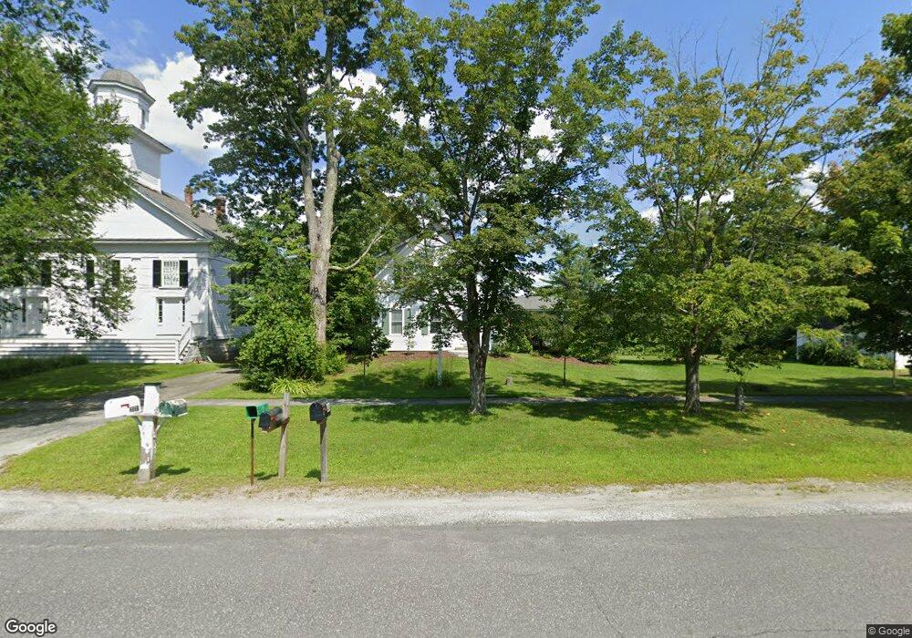
484 Canaan St Canaan, NH 03741
Estimated Value: $532,000 - $828,000
4
Beds
3
Baths
2,200
Sq Ft
$291/Sq Ft
Est. Value
About This Home
This home is located at 484 Canaan St, Canaan, NH 03741 and is currently estimated at $639,695, approximately $290 per square foot. 484 Canaan St is a home located in Grafton County with nearby schools including Canaan Elementary School, Indian River School, and Mascoma Valley Regional High School.
Ownership History
Date
Name
Owned For
Owner Type
Purchase Details
Closed on
Aug 25, 2022
Sold by
Burnett James S and Burnett Kristina
Bought by
J S & K Burnett Ret and Burnett
Current Estimated Value
Purchase Details
Closed on
Aug 24, 2012
Sold by
Corbin Eileen S
Bought by
Burnett James S and Burnett Kristina
Create a Home Valuation Report for This Property
The Home Valuation Report is an in-depth analysis detailing your home's value as well as a comparison with similar homes in the area
Home Values in the Area
Average Home Value in this Area
Purchase History
| Date | Buyer | Sale Price | Title Company |
|---|---|---|---|
| J S & K Burnett Ret | -- | None Available | |
| J S & K Burnett Ret | -- | None Available | |
| Burnett James S | $570,000 | -- | |
| Burnett James S | $570,000 | -- |
Source: Public Records
Mortgage History
| Date | Status | Borrower | Loan Amount |
|---|---|---|---|
| Previous Owner | Burnett James S | $35,000 | |
| Closed | Burnett James S | $0 |
Source: Public Records
Tax History Compared to Growth
Tax History
| Year | Tax Paid | Tax Assessment Tax Assessment Total Assessment is a certain percentage of the fair market value that is determined by local assessors to be the total taxable value of land and additions on the property. | Land | Improvement |
|---|---|---|---|---|
| 2024 | $13,238 | $448,300 | $264,000 | $184,300 |
| 2023 | $12,171 | $448,300 | $264,000 | $184,300 |
| 2022 | $12,220 | $450,100 | $264,000 | $186,100 |
| 2021 | $12,018 | $450,100 | $264,000 | $186,100 |
| 2020 | $12,872 | $374,200 | $166,100 | $208,100 |
| 2019 | $12,322 | $374,200 | $166,100 | $208,100 |
| 2018 | $11,930 | $374,200 | $166,100 | $208,100 |
| 2017 | $12,433 | $374,200 | $166,100 | $208,100 |
| 2016 | $11,776 | $374,200 | $166,100 | $208,100 |
| 2015 | $12,880 | $425,500 | $225,900 | $199,600 |
| 2014 | $11,890 | $425,700 | $225,900 | $199,800 |
| 2013 | $10,715 | $425,700 | $225,900 | $199,800 |
Source: Public Records
Map
Nearby Homes
- 00 Canaan St Unit 39B
- 00 Canaan St Unit 39A
- 532 Canaan St
- 546 Canaan St
- 00 Corno Rd Unit 56
- 25 Rogers Way
- lot 9 Strawbrook Ln
- 0 Potato Rd Unit 75A
- 33 Bruce Rd
- 0 US Route 4 Unit 34 5038886
- 0 US Route 4 Unit 94
- 35 Canaan St
- 1145 Us Route 4
- 00 Derush Rd Unit 2
- 47 Nh Route 118
- 390 New Hampshire 118
- 0 Highland St
- 9 Dove Ln
- 613 New Hampshire 118
- 23 Granite Way
- 00 Canaan St Unit 59
- 00 Canaan St Unit 8
- 00 Canaan St Unit 7
- 00 Canaan St
- 486 Canaan St
- 474 Canaan St
- 468 Canaan St
- 471 Canaan St
- 491 Canaan St
- 496 Canaan St
- 504 Canaan St
- 462 Canaan St
- 510 Canaan St
- 14 Apple Blossom Ln
- 452 Canaan St
- 512 Canaan St
- 507 Canaan St
- 444 Canaan St
- 285 Roberts Rd
- 520 Canaan St