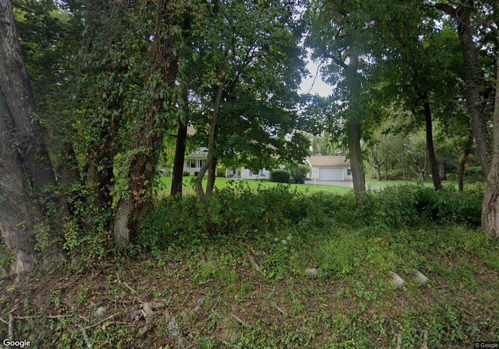
484 Charlestown Rd Hampton, NJ 08827
Estimated Value: $487,446 - $643,000
--
Bed
--
Bath
2,068
Sq Ft
$274/Sq Ft
Est. Value
About This Home
This home is located at 484 Charlestown Rd, Hampton, NJ 08827 and is currently estimated at $567,362, approximately $274 per square foot. 484 Charlestown Rd is a home located in Hunterdon County with nearby schools including Thomas.B. Conley Elementary School, Ethel Hoppock Middle School, and North Hunterdon High School.
Ownership History
Date
Name
Owned For
Owner Type
Purchase Details
Closed on
Jan 18, 2006
Sold by
Reynolds David L and Reynolds Teresa A
Bought by
Digiovanni Anthony and Digiovanni Linda
Current Estimated Value
Home Financials for this Owner
Home Financials are based on the most recent Mortgage that was taken out on this home.
Original Mortgage
$215,000
Outstanding Balance
$121,132
Interest Rate
6.31%
Mortgage Type
Fannie Mae Freddie Mac
Estimated Equity
$446,230
Purchase Details
Closed on
Dec 22, 1997
Sold by
Bajak Eugene R
Bought by
Reynolds David L and Reynolds Teresa A
Home Financials for this Owner
Home Financials are based on the most recent Mortgage that was taken out on this home.
Original Mortgage
$184,000
Interest Rate
7.15%
Create a Home Valuation Report for This Property
The Home Valuation Report is an in-depth analysis detailing your home's value as well as a comparison with similar homes in the area
Home Values in the Area
Average Home Value in this Area
Purchase History
| Date | Buyer | Sale Price | Title Company |
|---|---|---|---|
| Digiovanni Anthony | $415,000 | None Available | |
| Reynolds David L | $230,000 | -- |
Source: Public Records
Mortgage History
| Date | Status | Borrower | Loan Amount |
|---|---|---|---|
| Open | Digiovanni Anthony | $215,000 | |
| Previous Owner | Reynolds David L | $184,000 |
Source: Public Records
Tax History Compared to Growth
Tax History
| Year | Tax Paid | Tax Assessment Tax Assessment Total Assessment is a certain percentage of the fair market value that is determined by local assessors to be the total taxable value of land and additions on the property. | Land | Improvement |
|---|---|---|---|---|
| 2025 | $10,197 | $579,000 | $160,000 | $419,000 |
| 2024 | $9,813 | $312,900 | $108,300 | $204,600 |
| 2023 | $9,813 | $312,900 | $108,300 | $204,600 |
| 2022 | $9,490 | $312,900 | $108,300 | $204,600 |
| 2021 | $9,155 | $312,900 | $108,300 | $204,600 |
| 2020 | $9,371 | $312,900 | $108,300 | $204,600 |
| 2019 | $9,155 | $312,900 | $108,300 | $204,600 |
| 2018 | $8,927 | $312,900 | $108,300 | $204,600 |
| 2017 | $8,488 | $299,500 | $108,300 | $191,200 |
| 2016 | $8,680 | $299,500 | $108,300 | $191,200 |
| 2015 | $8,683 | $299,500 | $108,300 | $191,200 |
| 2014 | $8,398 | $299,500 | $108,300 | $191,200 |
Source: Public Records
Map
Nearby Homes
- 478 Charlestown Rd
- 26 Thrush Ln
- 1 Dove Hollow Ln
- 2 Stony Brook Ln
- 853 Norton Church Rd
- 16 Surry Lane16
- 368 Strotz Rd
- 192 Bryans Rd
- 20 Riddle Ct
- 135 Main St
- 215 Asbury Anderson Rd
- 2015 Spruce Hills Dr Unit 2015
- 1910 Spruce Hills Dr
- 161 Bryans Rd
- 38 S Polktown Rd
- 218 State Route 31
- 1002 Spruce Hills Dr Unit 1002
- 11 Carol Ct
- 9 Carol Ct
- 19 S Polktown Rd