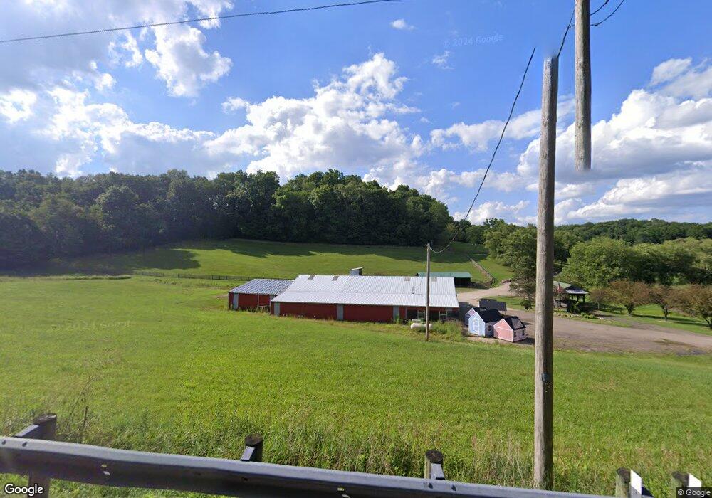
484 County Road 2575 Loudonville, OH 44842
Estimated Value: $404,000 - $1,090,198
3
Beds
4
Baths
3,864
Sq Ft
$176/Sq Ft
Est. Value
About This Home
This home is located at 484 County Road 2575, Loudonville, OH 44842 and is currently estimated at $679,066, approximately $175 per square foot. 484 County Road 2575 is a home located in Ashland County with nearby schools including McMullen Elementary School, Budd Elementary School, and Loudonville High School.
Ownership History
Date
Name
Owned For
Owner Type
Purchase Details
Closed on
Nov 9, 2020
Bought by
Thomas C Layton
Current Estimated Value
Home Financials for this Owner
Home Financials are based on the most recent Mortgage that was taken out on this home.
Interest Rate
2.78%
Purchase Details
Closed on
Apr 19, 1995
Sold by
Backus Delbert
Bought by
Zickefoose Richard L
Create a Home Valuation Report for This Property
The Home Valuation Report is an in-depth analysis detailing your home's value as well as a comparison with similar homes in the area
Home Values in the Area
Average Home Value in this Area
Purchase History
| Date | Buyer | Sale Price | Title Company |
|---|---|---|---|
| Thomas C Layton | $625,000 | -- | |
| Zickefoose Richard L | $70,000 | -- |
Source: Public Records
Mortgage History
| Date | Status | Borrower | Loan Amount |
|---|---|---|---|
| Closed | Thomas C Layton | -- |
Source: Public Records
Tax History Compared to Growth
Tax History
| Year | Tax Paid | Tax Assessment Tax Assessment Total Assessment is a certain percentage of the fair market value that is determined by local assessors to be the total taxable value of land and additions on the property. | Land | Improvement |
|---|---|---|---|---|
| 2024 | $9,239 | $289,940 | $75,290 | $214,650 |
| 2023 | $9,239 | $289,940 | $75,290 | $214,650 |
| 2022 | $7,082 | $199,970 | $51,930 | $148,040 |
| 2021 | $7,181 | $199,970 | $51,930 | $148,040 |
| 2020 | $6,758 | $199,970 | $51,930 | $148,040 |
| 2019 | $5,711 | $165,840 | $46,370 | $119,470 |
| 2018 | $5,747 | $165,840 | $46,370 | $119,470 |
| 2017 | $5,172 | $165,840 | $46,370 | $119,470 |
| 2016 | $5,172 | $146,760 | $41,030 | $105,730 |
| 2015 | $5,134 | $146,760 | $41,030 | $105,730 |
| 2013 | $5,258 | $141,720 | $24,550 | $117,170 |
Source: Public Records
Map
Nearby Homes
- 609 Ohio 95
- 560 Township Road 2402
- 2818 Township Road 2812
- 1406 Pearl Dr
- 500 Stone Meadow Cir
- 723 Pearl Dr
- 518 Snyder Dr
- 524 N Union St
- 333 E Campbell St
- 526 E Campbell St
- 316 E Campbell St
- 513 N Mount Vernon Ave
- 0 Ashland County Road 2175
- 0 Ashland County Road 2175
- 968 Township Road 2506
- 0 County Road 917
- 0 Township Road 925
- 136 Bridge St
- 484 County Road 2575
- 466 County Road 2575
- 504 County Road 2575
- 2551 Township Road 457
- 2540 Township Road 457
- 2532 Township Road 457
- 471 Township Road 2514
- 475 Township Road 2514
- 528 County Road 2575
- 463 Township Road 2514
- 2533 Township Road 457
- 526 County Road 2575
- 471 2514
- 2523 Township Road 457
- 888 Tr 2506
- 552 County Road 2575
- 464 Township Road 2514
- 2595 County Road 457
- 2595 County Road 457
- 390 County Road 2575