484 Cronin Rd West Brookfield, MA 01585
Estimated Value: $306,000 - $426,000
2
Beds
2
Baths
1,382
Sq Ft
$254/Sq Ft
Est. Value
About This Home
This home is located at 484 Cronin Rd, West Brookfield, MA 01585 and is currently estimated at $350,823, approximately $253 per square foot. 484 Cronin Rd is a home with nearby schools including Quaboag Regional High School.
Ownership History
Date
Name
Owned For
Owner Type
Purchase Details
Closed on
Feb 25, 2015
Sold by
Buckley Veronica M and Faherty Veronica M
Bought by
Buckley Edward
Current Estimated Value
Home Financials for this Owner
Home Financials are based on the most recent Mortgage that was taken out on this home.
Original Mortgage
$12,500
Outstanding Balance
$9,482
Interest Rate
3.66%
Mortgage Type
New Conventional
Estimated Equity
$341,341
Purchase Details
Closed on
Apr 21, 1992
Sold by
Oneill David C
Bought by
Faherty Veronica M
Create a Home Valuation Report for This Property
The Home Valuation Report is an in-depth analysis detailing your home's value as well as a comparison with similar homes in the area
Home Values in the Area
Average Home Value in this Area
Purchase History
| Date | Buyer | Sale Price | Title Company |
|---|---|---|---|
| Buckley Edward | $45,000 | -- | |
| Faherty Veronica M | $1,600 | -- |
Source: Public Records
Mortgage History
| Date | Status | Borrower | Loan Amount |
|---|---|---|---|
| Open | Buckley Edward | $12,500 |
Source: Public Records
Tax History Compared to Growth
Tax History
| Year | Tax Paid | Tax Assessment Tax Assessment Total Assessment is a certain percentage of the fair market value that is determined by local assessors to be the total taxable value of land and additions on the property. | Land | Improvement |
|---|---|---|---|---|
| 2025 | $3,802 | $256,700 | $65,400 | $191,300 |
| 2024 | $3,868 | $256,700 | $65,400 | $191,300 |
| 2023 | $3,737 | $236,500 | $65,400 | $171,100 |
| 2022 | $3,107 | $199,700 | $50,100 | $149,600 |
| 2021 | $3,039 | $190,400 | $47,400 | $143,000 |
| 2020 | $3,080 | $179,500 | $47,400 | $132,100 |
| 2019 | $3,095 | $170,500 | $47,300 | $123,200 |
| 2018 | $2,953 | $170,500 | $47,300 | $123,200 |
| 2017 | $2,936 | $158,200 | $49,200 | $109,000 |
| 2016 | $3,002 | $151,300 | $46,900 | $104,400 |
| 2015 | $2,713 | $144,700 | $46,900 | $97,800 |
| 2014 | $2,775 | $145,300 | $46,900 | $98,400 |
Source: Public Records
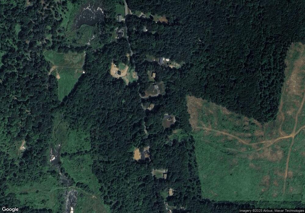
Map
Nearby Homes
- 18 Fox Run
- 16 Schoolhouse Cross Rd
- 1212 Southbridge Rd
- 368 Keys Rd
- 515 Keys Rd
- 2 Tupelo Dr
- 0 Brookfield Rd
- 26 Town Farm Rd
- 12 Presidential Cir
- 285 Brookfield Rd
- 97 Apple Rd
- 293 Brookfield Rd
- 79 Paradise Ln
- 243 Brookfield Rd
- 366 Southbridge Rd
- 261 Little Rest Rd
- 224 E Hill Rd
- 0 Brimfield Rd Unit 73426061
- 152 Southbridge Rd Unit 3D
- 6 2nd St
- 498 Cronin Rd
- Lot 69 Cronin Rd
- Lot 0 Cronin Rd
- 470 Cronin Rd
- 470 Cronin Rd
- 506 Cronin Rd
- 451 Cronin Rd
- 452 Cronin Rd
- 452 Cronin Rd
- 535 Cronin Rd
- 426 Cronin Rd
- 544 Cronin Rd
- 537 Cronin Rd
- 570 Cronin Rd
- 402 Cronin Rd
- 0 Cronin Rd Lot 2 Unit 72106708
- 0 Cronin Rd Lot 4 Unit 72106716
- 557 Cronin Rd
- 557 Cronin Rd Unit 1
- 386 Cronin Rd