484 Farm Road 1170 Verona, MO 65769
Estimated Value: $352,000 - $544,000
3
Beds
2
Baths
1,800
Sq Ft
$234/Sq Ft
Est. Value
About This Home
This home is located at 484 Farm Road 1170, Verona, MO 65769 and is currently estimated at $421,733, approximately $234 per square foot. 484 Farm Road 1170 is a home located in Barry County with nearby schools including Pate Early Childhood Center, Robinson Elementary School, and Robinson Intermediate School.
Ownership History
Date
Name
Owned For
Owner Type
Purchase Details
Closed on
May 26, 2020
Sold by
Cornman Dustin L and Cornman Jordan N
Bought by
Streety Daniel and Streety Ashley
Current Estimated Value
Home Financials for this Owner
Home Financials are based on the most recent Mortgage that was taken out on this home.
Original Mortgage
$200,305
Outstanding Balance
$177,886
Interest Rate
3.3%
Mortgage Type
FHA
Estimated Equity
$243,847
Purchase Details
Closed on
Oct 14, 2010
Sold by
Great Southern Bank
Bought by
Cornman Dustin L and Pritchett Jordan N
Home Financials for this Owner
Home Financials are based on the most recent Mortgage that was taken out on this home.
Original Mortgage
$127,500
Interest Rate
4.41%
Mortgage Type
New Conventional
Purchase Details
Closed on
Aug 2, 2010
Sold by
Gwinup Lawrence Dwight and Gwinup Kimberly Suzanne
Bought by
Great Southern Bank
Create a Home Valuation Report for This Property
The Home Valuation Report is an in-depth analysis detailing your home's value as well as a comparison with similar homes in the area
Home Values in the Area
Average Home Value in this Area
Purchase History
| Date | Buyer | Sale Price | Title Company |
|---|---|---|---|
| Streety Daniel | -- | Waco Title Company | |
| Cornman Dustin L | -- | None Available | |
| Great Southern Bank | $100,000 | None Available |
Source: Public Records
Mortgage History
| Date | Status | Borrower | Loan Amount |
|---|---|---|---|
| Open | Streety Daniel | $200,305 | |
| Previous Owner | Cornman Dustin L | $127,500 |
Source: Public Records
Tax History Compared to Growth
Tax History
| Year | Tax Paid | Tax Assessment Tax Assessment Total Assessment is a certain percentage of the fair market value that is determined by local assessors to be the total taxable value of land and additions on the property. | Land | Improvement |
|---|---|---|---|---|
| 2025 | $5,840 | $31,255 | $4,237 | $27,018 |
| 2024 | $1,499 | $31,255 | $4,237 | $27,018 |
| 2023 | $1,493 | $31,255 | $4,237 | $27,018 |
| 2022 | $1,463 | $30,590 | $3,572 | $27,018 |
| 2021 | $1,422 | $29,564 | $2,546 | $27,018 |
| 2020 | $1,422 | $29,564 | $2,546 | $27,018 |
| 2018 | $1,399 | $29,564 | $2,546 | $27,018 |
| 2017 | $1,397 | $29,564 | $2,546 | $27,018 |
| 2016 | $1,238 | $26,030 | $1,881 | $24,149 |
| 2015 | -- | $26,030 | $1,881 | $24,149 |
| 2014 | -- | $26,030 | $1,881 | $24,149 |
| 2012 | -- | $0 | $0 | $0 |
Source: Public Records
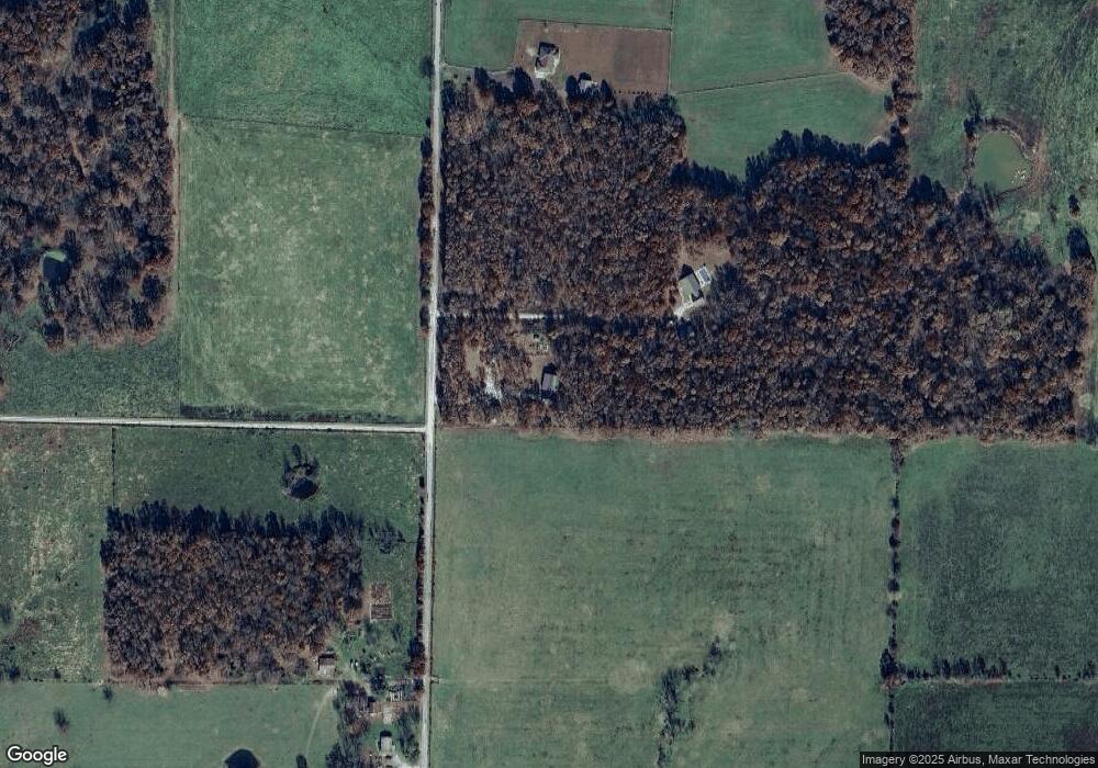
Map
Nearby Homes
- 17590 Lawrence 2240
- 17250 State Highway Z
- 16406 Lawrence 2240
- 000 Tbd Lawrence 2240
- 18371 Lawrence 2230
- 23740 Lawrence 1170
- 17366 Lawrence 2220
- 19038 Farm Road 2020
- 000 Farm Road 2000
- 17196 Farm Road 2030
- 1967 Cattle Dr
- 1813 Edgewood Dr
- 000 Highway 60 Unit Tract 1
- 302 E Dyer St Unit 1
- 1100 Chicory Ln
- 1705 S Tyler Ave
- 1019 Daniels St
- 1605 Mary Ln
- 1101 Highland Dr
- 1301 S Tyler Ave
- 422 Farm Road 1170
- 308 Farm Road 1170
- 645 Farm Road 1170
- 16678 Farm Road 2005
- 16864 Lawrence 2240
- 0000 Tract 2 Farm Road 1170
- 16925 Farm Road 2000
- 2240 Lawrence
- 0 Farm Rd 1170 Unit 10903192
- 0 Farm Rd 1170 Unit 10903193
- 0 Farm Rd 1170 Unit 10914812
- 0 Farm Rd 1170 Unit 10914814
- 0 Farm Rd 1170 Unit 11006903
- 0 Farm Rd 1170
- 17247 Farm Road 2000
- 17476 Farm Road 2010
- 17501 Farm Road 2000
- 17523 Farm Road 2000
- 1003 Private Rd 1173
- 17664 Lawrence 2240