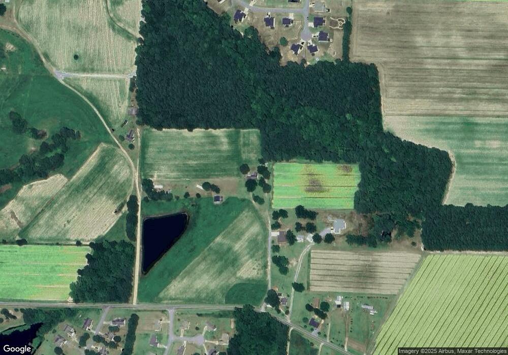
484 Long Branch Rd Smithfield, NC 27577
Estimated Value: $256,000 - $306,000
3
Beds
2
Baths
1,282
Sq Ft
$215/Sq Ft
Est. Value
About This Home
This home is located at 484 Long Branch Rd, Smithfield, NC 27577 and is currently estimated at $275,687, approximately $215 per square foot. 484 Long Branch Rd is a home located in Johnston County with nearby schools including West Smithfield Elementary School, Smithfield Middle School, and Smithfield-Selma High School.
Ownership History
Date
Name
Owned For
Owner Type
Purchase Details
Closed on
Aug 3, 2005
Sold by
Martinez Pamela B and Edgerton Pamela Baker
Bought by
Martinez Pamela B and Martinez Vicente
Current Estimated Value
Home Financials for this Owner
Home Financials are based on the most recent Mortgage that was taken out on this home.
Original Mortgage
$46,000
Interest Rate
4.75%
Mortgage Type
Assumption
Create a Home Valuation Report for This Property
The Home Valuation Report is an in-depth analysis detailing your home's value as well as a comparison with similar homes in the area
Home Values in the Area
Average Home Value in this Area
Purchase History
| Date | Buyer | Sale Price | Title Company |
|---|---|---|---|
| Martinez Pamela B | -- | None Available |
Source: Public Records
Mortgage History
| Date | Status | Borrower | Loan Amount |
|---|---|---|---|
| Closed | Martinez Pamela B | $46,000 |
Source: Public Records
Tax History Compared to Growth
Tax History
| Year | Tax Paid | Tax Assessment Tax Assessment Total Assessment is a certain percentage of the fair market value that is determined by local assessors to be the total taxable value of land and additions on the property. | Land | Improvement |
|---|---|---|---|---|
| 2025 | $1,520 | $239,430 | $49,500 | $189,930 |
| 2024 | $963 | $118,840 | $22,850 | $95,990 |
| 2023 | $945 | $118,840 | $22,850 | $95,990 |
| 2022 | $992 | $118,840 | $22,850 | $95,990 |
| 2021 | $963 | $118,840 | $22,850 | $95,990 |
| 2020 | $998 | $118,840 | $22,850 | $95,990 |
| 2019 | $998 | $118,840 | $22,850 | $95,990 |
| 2018 | $840 | $97,620 | $19,700 | $77,920 |
| 2017 | $840 | $97,620 | $19,700 | $77,920 |
| 2016 | $840 | $97,620 | $19,700 | $77,920 |
| 2015 | $840 | $97,620 | $19,700 | $77,920 |
| 2014 | $820 | $97,620 | $19,700 | $77,920 |
Source: Public Records
Map
Nearby Homes
- 282 Raptor Dr
- 25 Lawrence Ct
- 220 Raptor Dr
- 66 S Hawks Ridge Ln
- 267 Red Hawk Place
- 120 Red Hawk Place
- 146 Cheshire Farm Dr
- 82 Cheshire Farm Dr
- 52 Cheshire Farm Dr
- 22 Cheshire Farms Dr
- 22 Cheshire Farm Dr
- The Ellijay Plan at Cheshire
- The McGinnis Plan at Cheshire
- The Avery Plan at Cheshire
- The Lancaster Plan at Cheshire
- The Avondale Plan at Cheshire
- The Vinings Plan at Cheshire
- 135 Cheshire Downs Ct
- 73 S Rabbit Run Dr
- 28 Hagood St
- 440 Long Branch Rd
- 448 Long Branch Rd
- 282 Raptor Dr Unit Lot 15
- 283 Raptor Dr
- 283 Raptor Dr Unit Lot 14
- 458 Long Branch Rd
- 458 Long Branch Rd
- 640 Long Branch Rd
- 236 S Hawks Ridge Ln Unit Lot 17
- 266 S Hawks Ridge Ln Unit Lot 16
- 208 S Hawks Ridge Ln Unit Lot 18
- 273 Raptor Dr Unit Lot 13
- 348 Long Branch Rd
- 27 Lawrence Ct
- 13 Lawrence Ct
- 257 Raptor Dr Unit Lot 12
- 178 S Hawks Ridge Ln Unit Lot 19
- 12 Banks Rd
- 12 Banks St
- 209 S Hawks Ridge Ln Unit Lot 53
