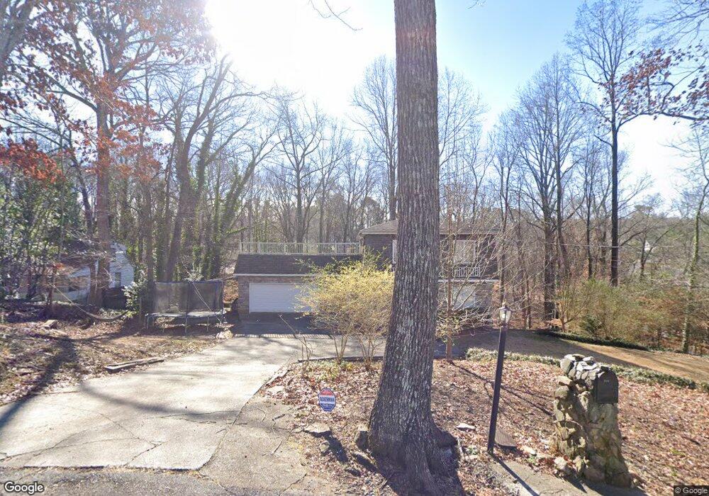
484 Melanie Ln SW Marietta, GA 30008
Southwestern Marietta NeighborhoodEstimated Value: $367,000 - $507,000
4
Beds
4
Baths
2,958
Sq Ft
$142/Sq Ft
Est. Value
About This Home
This home is located at 484 Melanie Ln SW, Marietta, GA 30008 and is currently estimated at $418,596, approximately $141 per square foot. 484 Melanie Ln SW is a home located in Cobb County with nearby schools including Milford Elementary School, Smitha Middle School, and Osborne High School.
Ownership History
Date
Name
Owned For
Owner Type
Purchase Details
Closed on
Jan 28, 2017
Sold by
Mierzwa-Clark Anna
Bought by
Clark Henry William and Mierzwa Clark Anna
Current Estimated Value
Home Financials for this Owner
Home Financials are based on the most recent Mortgage that was taken out on this home.
Original Mortgage
$128,000
Outstanding Balance
$64,226
Interest Rate
4.32%
Mortgage Type
New Conventional
Estimated Equity
$354,370
Create a Home Valuation Report for This Property
The Home Valuation Report is an in-depth analysis detailing your home's value as well as a comparison with similar homes in the area
Home Values in the Area
Average Home Value in this Area
Purchase History
| Date | Buyer | Sale Price | Title Company |
|---|---|---|---|
| Clark Henry William | -- | -- |
Source: Public Records
Mortgage History
| Date | Status | Borrower | Loan Amount |
|---|---|---|---|
| Open | Clark Henry William | $128,000 |
Source: Public Records
Tax History Compared to Growth
Tax History
| Year | Tax Paid | Tax Assessment Tax Assessment Total Assessment is a certain percentage of the fair market value that is determined by local assessors to be the total taxable value of land and additions on the property. | Land | Improvement |
|---|---|---|---|---|
| 2025 | $3,430 | $113,844 | $45,080 | $68,764 |
| 2024 | $3,432 | $113,844 | $45,080 | $68,764 |
| 2023 | $3,137 | $104,044 | $35,280 | $68,764 |
| 2022 | $2,939 | $96,848 | $31,360 | $65,488 |
| 2021 | $2,441 | $80,420 | $23,520 | $56,900 |
| 2020 | $2,143 | $70,620 | $13,720 | $56,900 |
| 2019 | $1,776 | $58,528 | $8,624 | $49,904 |
| 2018 | $1,776 | $58,528 | $8,624 | $49,904 |
| 2017 | $1,298 | $58,528 | $8,624 | $49,904 |
| 2016 | $1,120 | $50,368 | $7,840 | $42,528 |
| 2015 | $1,146 | $50,368 | $7,840 | $42,528 |
| 2014 | $1,155 | $50,368 | $0 | $0 |
Source: Public Records
Map
Nearby Homes
- 1615 Arden Dr SW
- 1651 Massachusetts Ave SW Unit 1
- 2036 Favor Rd SW
- 737 Scott Ln SW
- 1706 Cunningham Rd SW
- 1809 Austell Rd SW
- 1665 Cunningham Rd SW
- 691 Crosswinds Cir
- 1485 Brandon Dr SW
- 744 Evelyn Ln
- 583 Crosswinds Cir
- 1763 Sandtown Rd SW
- 152 Summer Lake Dr SW
- 725 S Fork Dr SW
- 891 Scott Ln SW
- 1479 Bellemeade Farms Rd SW
- 1383 Natchez Trace SW
- 1360 Surrey Ln SW
- 1348 Surrey Ln SW Unit 1348
- 494 Melanie Ln SW
- 464 Melanie Ln SW
- 473 Melanie Ln SW
- 1875 Cunningham Rd SW
- 0 Melanie Ln SW
- 507 Melanie Ln SW
- 1718 Bertram Ln SW
- 1722 Bertram Ln SW
- 1720 Bertram Ln SW
- 2106 Taylor Meadows Way SW
- 1716 Bertram Ln SW
- 1815 Cunningham Rd SW
- 1714 Bertram Ln SW
- 1726 Bertram Ln SW
- 2104 Taylor Meadows Way SW
- 2107 Taylor Meadows Way SW
- 1708 Bertram Ln SW
- 2102 Taylor Meadows Way SW Unit 27
- 2102 Taylor Meadows Way SW
- 1728 Bertram Ln SW