Estimated Value: $272,120 - $458,000
3
Beds
1
Bath
1,421
Sq Ft
$239/Sq Ft
Est. Value
About This Home
This home is located at 484 Springfield Rd, Vilas, NC 28692 and is currently estimated at $339,530, approximately $238 per square foot. 484 Springfield Rd is a home located in Watauga County with nearby schools including Bethel Elementary School and Watauga High School.
Ownership History
Date
Name
Owned For
Owner Type
Purchase Details
Closed on
Feb 8, 2023
Sold by
Greene Junior V and Greene Audrey T
Bought by
Greene Byron and Greene Nicole
Current Estimated Value
Purchase Details
Closed on
May 1, 2018
Sold by
Sherwood & Dishman Real Estate Llc
Bought by
Greene James
Home Financials for this Owner
Home Financials are based on the most recent Mortgage that was taken out on this home.
Original Mortgage
$54,000
Interest Rate
4.58%
Create a Home Valuation Report for This Property
The Home Valuation Report is an in-depth analysis detailing your home's value as well as a comparison with similar homes in the area
Home Values in the Area
Average Home Value in this Area
Purchase History
| Date | Buyer | Sale Price | Title Company |
|---|---|---|---|
| Greene Byron | -- | -- | |
| Greene James | -- | -- |
Source: Public Records
Mortgage History
| Date | Status | Borrower | Loan Amount |
|---|---|---|---|
| Previous Owner | Greene James | $54,000 | |
| Previous Owner | Greene James | -- |
Source: Public Records
Tax History
| Year | Tax Paid | Tax Assessment Tax Assessment Total Assessment is a certain percentage of the fair market value that is determined by local assessors to be the total taxable value of land and additions on the property. | Land | Improvement |
|---|---|---|---|---|
| 2025 | $775 | $182,600 | $17,100 | $165,500 |
| 2024 | $8 | $182,600 | $17,100 | $165,500 |
| 2023 | $416 | $182,600 | $17,100 | $165,500 |
| 2022 | $416 | $182,600 | $17,100 | $165,500 |
| 2021 | $328 | $109,600 | $14,300 | $95,300 |
| 2020 | $328 | $109,600 | $14,300 | $95,300 |
| 2019 | $328 | $109,600 | $14,300 | $95,300 |
| 2018 | $301 | $109,600 | $14,300 | $95,300 |
| 2017 | $301 | $109,600 | $14,300 | $95,300 |
| 2013 | -- | $103,700 | $14,300 | $89,400 |
Source: Public Records
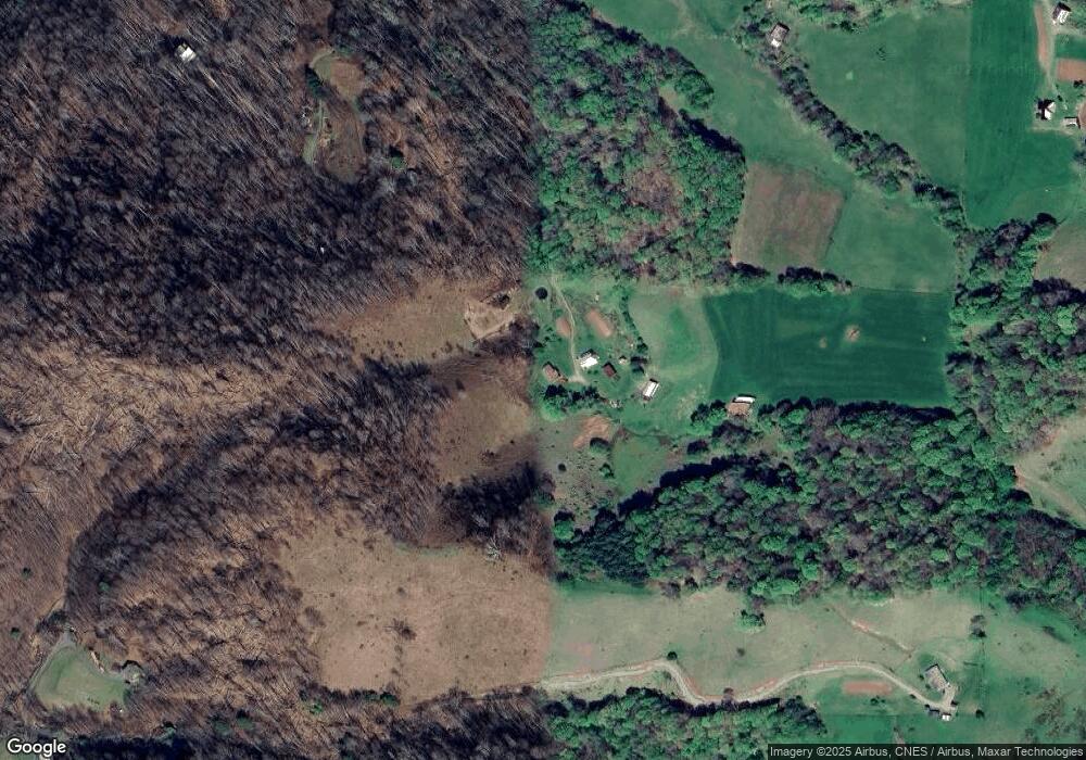
Map
Nearby Homes
- 171 Beaver Trail
- 171 Beaver Trail Unit 17
- 876 Courtney Ln
- Lot 27 Lost Ridge Trail
- Tbd Bulldog Rd
- TBD Locust Gap Rd
- 1068 Laurel Branch Rd
- Tbd Lane Miller Rd
- Lot 3 Locust Gap Rd
- Lot 2 Locust Gap Rd
- 1527 Mabel School Rd
- 349 Miller Rd
- Tbd Miller Rd
- Lot 27 Wren Cove Ln
- 183 Laurel Branch Rd
- 703 Locust Gap Rd
- TBD Laurel Rd
- TBD Blueberry Hill
- 861 Slabtown Rd
- Tbd Laurel Branch Rd
- 465 Springfield Rd
- 246 Springfield Rd
- 244 Springfield Rd
- 3606 Beaver Dam Rd
- 499 Frank Wilson Rd
- 239 Springfield Rd
- 418 Ash Branch Rd
- 500 Frank Wilson Rd
- 3908 Beaver Dam Rd
- 0 Beaver Dam Rd
- 15.63 acres Beaver Dam Rd
- 00 Beaver Dam Rd
- 393 Ash Branch Rd
- 511 Ash Branch Rd
- 600 Ash Branch Rd
- 866 Frank Wilson Rd
- 3970 Beaver Dam Rd
- TBD Beaver Dam Rd Reese Rd
- 4022 Beaver Dam Rd
- 127 Reese Rd
Your Personal Tour Guide
Ask me questions while you tour the home.