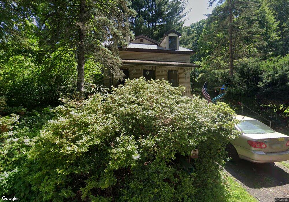
484 Stoneridge Rd Emmaus, PA 18049
Southside NeighborhoodEstimated Value: $264,000 - $322,000
4
Beds
1
Bath
988
Sq Ft
$294/Sq Ft
Est. Value
About This Home
This home is located at 484 Stoneridge Rd, Emmaus, PA 18049 and is currently estimated at $290,450, approximately $293 per square foot. 484 Stoneridge Rd is a home located in Lehigh County with nearby schools including Donahoe Elementary School, Dumbarton Elementary School, and Salisbury Elementary School.
Ownership History
Date
Name
Owned For
Owner Type
Purchase Details
Closed on
Nov 20, 1987
Sold by
Robertson Dennis A and Cynthia Passaro
Bought by
Sayre Mark and Sayre Sharon C
Current Estimated Value
Purchase Details
Closed on
Jul 21, 1986
Sold by
Schmoyer Ethel M
Bought by
Robertson Dennis A and Cynthia Passar
Purchase Details
Closed on
Jan 15, 1985
Bought by
Schmoyer Ethel M
Create a Home Valuation Report for This Property
The Home Valuation Report is an in-depth analysis detailing your home's value as well as a comparison with similar homes in the area
Home Values in the Area
Average Home Value in this Area
Purchase History
| Date | Buyer | Sale Price | Title Company |
|---|---|---|---|
| Sayre Mark | $68,500 | -- | |
| Robertson Dennis A | $55,100 | -- | |
| Schmoyer Ethel M | -- | -- |
Source: Public Records
Tax History Compared to Growth
Tax History
| Year | Tax Paid | Tax Assessment Tax Assessment Total Assessment is a certain percentage of the fair market value that is determined by local assessors to be the total taxable value of land and additions on the property. | Land | Improvement |
|---|---|---|---|---|
| 2025 | $4,293 | $136,300 | $48,700 | $87,600 |
| 2024 | $4,101 | $136,300 | $48,700 | $87,600 |
| 2023 | $3,891 | $136,300 | $48,700 | $87,600 |
| 2022 | $3,793 | $136,300 | $87,600 | $48,700 |
| 2021 | $3,641 | $136,300 | $48,700 | $87,600 |
| 2020 | $3,499 | $136,300 | $48,700 | $87,600 |
| 2019 | $3,371 | $136,300 | $48,700 | $87,600 |
| 2018 | $3,311 | $136,300 | $48,700 | $87,600 |
| 2017 | $3,227 | $136,300 | $48,700 | $87,600 |
| 2016 | -- | $136,300 | $48,700 | $87,600 |
| 2015 | -- | $136,300 | $48,700 | $87,600 |
| 2014 | -- | $136,300 | $48,700 | $87,600 |
Source: Public Records
Map
Nearby Homes
- 340 Chestnut Hill Rd
- 118 N 2nd St
- 120 N 2nd St
- 101 E George St
- 521 Wood St
- 569 Chestnut St Unit 571
- 543 Long St
- 618 Broad St
- 529 Dalton St Unit 539
- 558 Beechwood St
- 659 Broad St
- 540 E Greenleaf St
- 657 Walnut St
- 635 E Berger St
- 5031 Hunter Ln
- 3011 Ithaca St
- 2571 Brunner Rd
- 2616 Arch St SW
- 3601 Country Club Rd
- 2545 Mountain Ln
- 121 Chestnut Hill Rd
- 460 Stoneridge Rd
- 475 Stoneridge Rd
- 465 Stoneridge Rd
- 131 Chestnut Hill Rd
- 450 Stoneridge Rd
- 455 Stoneridge Rd
- 470 Rock Cliff Rd
- 140 Chestnut Hill Rd
- 93 Chestnut Hill Rd
- 95 Chestnut Hill Rd
- 475 Rock Cliff Rd
- 449 Stoneridge Rd
- 469 Rock Cliff Rd
- 436 Stoneridge Rd
- 91 Chestnut Hill Rd
- 444 Rock Cliff Rd
- 465 Rock Cliff Rd
- 435 Stoneridge Rd
- 150 Chestnut Hill Rd