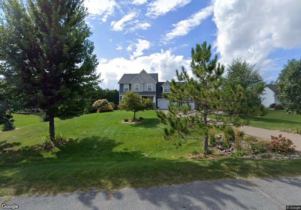
484 Summit Ridge Hudson, WI 54016
Troy NeighborhoodEstimated Value: $689,205 - $884,000
3
Beds
3
Baths
--
Sq Ft
47,045
Sq Ft Lot
About This Home
This home is located at 484 Summit Ridge, Hudson, WI 54016 and is currently estimated at $768,051. 484 Summit Ridge is a home located in St. Croix County with nearby schools including Westside Elementary School, Meyer Middle School, and River Falls High School.
Ownership History
Date
Name
Owned For
Owner Type
Purchase Details
Closed on
May 5, 2016
Sold by
Krochalk Andrew D and Krochalk Angela J
Bought by
Weber Brian L and Weber Julie M
Current Estimated Value
Purchase Details
Closed on
Feb 16, 2011
Sold by
M&I Marshall & Ilsley Bank
Bought by
Krochalk Andrew D and Krochalk Angela J
Home Financials for this Owner
Home Financials are based on the most recent Mortgage that was taken out on this home.
Original Mortgage
$37,825
Interest Rate
4.81%
Mortgage Type
New Conventional
Purchase Details
Closed on
Dec 15, 2010
Sold by
Continental Development Corporation
Bought by
M&I Marshall & Ilsley Bank
Create a Home Valuation Report for This Property
The Home Valuation Report is an in-depth analysis detailing your home's value as well as a comparison with similar homes in the area
Home Values in the Area
Average Home Value in this Area
Purchase History
| Date | Buyer | Sale Price | Title Company |
|---|---|---|---|
| Weber Brian L | $438,000 | Attorney | |
| Krochalk Andrew D | $44,500 | River Valley Abstract & Titl | |
| M&I Marshall & Ilsley Bank | -- | None Available |
Source: Public Records
Mortgage History
| Date | Status | Borrower | Loan Amount |
|---|---|---|---|
| Previous Owner | Krochalk Andrew D | $37,825 |
Source: Public Records
Tax History
| Year | Tax Paid | Tax Assessment Tax Assessment Total Assessment is a certain percentage of the fair market value that is determined by local assessors to be the total taxable value of land and additions on the property. | Land | Improvement |
|---|---|---|---|---|
| 2025 | $6,455 | $593,200 | $99,100 | $494,100 |
| 2024 | $61 | $593,200 | $99,100 | $494,100 |
| 2023 | $5,890 | $593,200 | $99,100 | $494,100 |
| 2022 | $5,123 | $593,200 | $99,100 | $494,100 |
| 2021 | $5,143 | $366,700 | $68,300 | $298,400 |
| 2020 | $5,366 | $366,700 | $68,300 | $298,400 |
| 2019 | $5,112 | $366,700 | $68,300 | $298,400 |
| 2018 | $5,044 | $366,700 | $68,300 | $298,400 |
| 2017 | $5,087 | $366,700 | $68,300 | $298,400 |
| 2016 | $5,087 | $366,700 | $68,300 | $298,400 |
| 2015 | $5,332 | $366,700 | $68,300 | $298,400 |
| 2014 | $4,990 | $366,700 | $68,300 | $298,400 |
| 2013 | $1,008 | $68,300 | $68,300 | $0 |
Source: Public Records
Map
Nearby Homes
- 488 (Lot 16) Summit Ridge
- 491 (Lot 10) Prominence Way
- 467 (Lot 2) Prominence Way
- 469 (Lot 1) Prominence Way
- 745 Mount Curve Ct
- 725 Crest Curve
- 722 (Lot 40) Crest Curve
- 725 (Lot 53) Crest Curve
- 696 Buttercup Ct
- XXX Gilbert Rd
- 909 Acorn Ct
- xxx Valerie Avenue Ave
- 395 Moelter Ln
- 906 Acorn Ct
- 415 Moelter Ln
- 416 Moelter Ln
- 376 Moelter Ln
- 404 Moelter Ln
- 408 Moelter Ln
- 570 Coulee Trail
- 486 Summit Ridge
- 482 Summit Ridge
- 483 Summit Ridge
- 480 Summit Ridge
- 488 Summit Ridge
- 489 Summit Ridge
- 481 Summit Ridge
- 747 Mount Curve Chase
- 479 Summit Ridge
- 745 Mount Curve Chase
- 478 Summit Ridge
- 743 Mount Curve Chase
- 734 Prominence Ct
- 477 Summit Ridge
- 741 Mount Curve
- 750 Mount Curve Chase
- 739 Mount Curve Chase
- 736 Prominence Ct
- 735 Prominence Ct
- 483 Prominence Way
Your Personal Tour Guide
Ask me questions while you tour the home.