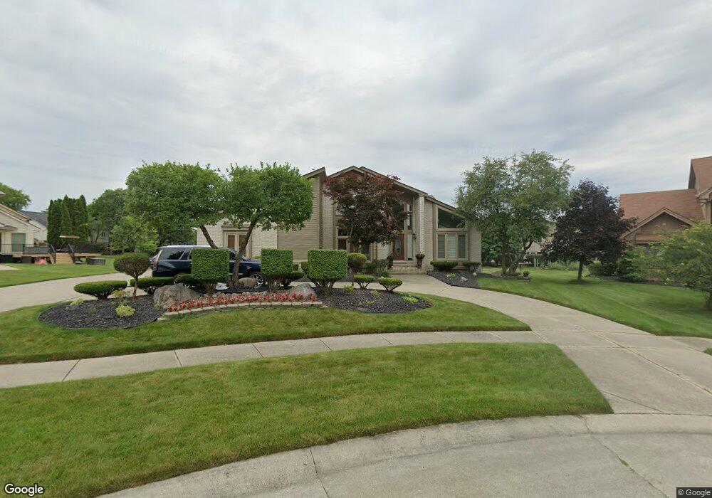
4840 Leonard Ct West Bloomfield, MI 48322
Estimated Value: $654,747 - $774,000
4
Beds
5
Baths
3,603
Sq Ft
$199/Sq Ft
Est. Value
About This Home
This home is located at 4840 Leonard Ct, West Bloomfield, MI 48322 and is currently estimated at $716,187, approximately $198 per square foot. 4840 Leonard Ct is a home located in Oakland County with nearby schools including Sheiko Elementary School, Bloomfield Maples Montessori, and Sarah & Irving Pitt Child Development Center.
Ownership History
Date
Name
Owned For
Owner Type
Purchase Details
Closed on
Jan 11, 2005
Sold by
Washington Mutual Mortgage Co
Bought by
Todd Karl
Current Estimated Value
Home Financials for this Owner
Home Financials are based on the most recent Mortgage that was taken out on this home.
Original Mortgage
$76,000
Interest Rate
5.77%
Mortgage Type
Stand Alone Second
Purchase Details
Closed on
Nov 12, 2003
Sold by
Sovereign Bank
Bought by
Washington Mutual Mortgage Co
Purchase Details
Closed on
Sep 9, 2003
Sold by
Hindo Waleed and Hindo Amera J
Bought by
Sovereign Bank
Purchase Details
Closed on
Oct 9, 2001
Sold by
Hindo Amera J
Bought by
Franklin Bank
Create a Home Valuation Report for This Property
The Home Valuation Report is an in-depth analysis detailing your home's value as well as a comparison with similar homes in the area
Home Values in the Area
Average Home Value in this Area
Purchase History
| Date | Buyer | Sale Price | Title Company |
|---|---|---|---|
| Todd Karl | $380,000 | Great Lakes Title Michigan | |
| Washington Mutual Mortgage Co | -- | -- | |
| Sovereign Bank | $398,906 | -- | |
| Franklin Bank | $137,951 | -- |
Source: Public Records
Mortgage History
| Date | Status | Borrower | Loan Amount |
|---|---|---|---|
| Closed | Todd Karl | $76,000 | |
| Open | Todd Karl | $304,000 |
Source: Public Records
Tax History
| Year | Tax Paid | Tax Assessment Tax Assessment Total Assessment is a certain percentage of the fair market value that is determined by local assessors to be the total taxable value of land and additions on the property. | Land | Improvement |
|---|---|---|---|---|
| 2025 | $9,690 | $299,700 | $34,950 | $264,750 |
| 2024 | $5,856 | $296,690 | $0 | $0 |
| 2022 | $5,323 | $221,400 | $34,950 | $186,450 |
| 2021 | $8,212 | $224,710 | $0 | $0 |
| 2020 | $4,865 | $217,190 | $34,950 | $182,240 |
| 2018 | $7,196 | $204,360 | $17,480 | $186,880 |
| 2015 | -- | $203,720 | $0 | $0 |
| 2014 | -- | $186,340 | $0 | $0 |
| 2011 | -- | $155,960 | $0 | $0 |
Source: Public Records
Map
Nearby Homes
- 6076 Dunmore Dr
- 6323 Potomac Cir Unit 22
- 5106 Rock Run
- 5865 Dunmore Ct
- 6607 Westbrooke Ct
- 6121 Westbrooke Dr Unit 7
- 5731 Farmington Rd
- 6129 Westbrooke Dr Unit 10
- 5353 Wright Way W
- 6298 Aspen Ridge Blvd Unit 34
- 4205 Pinehurst Dr
- 6610 Fieldstone Ct
- 6622 Fieldstone Ct
- 4819 Thorntree Dr
- 6651 Hearthside Ct Unit 1
- 6322 Pepper Hill St Unit 62
- 23617 Trailview Dr Unit 29
- 23601 Trailview Dr Unit 37
- 5585 Culpepper Dr
- 6933 Pebble Park Cir Unit 83
- 6295 Charles Dr
- 6216 Carroll Dr
- 6263 Charles Dr
- 4820 Leonard Ct
- 6198 Carroll Dr
- 4853 Leonard Ct
- 6246 Carroll Dr
- 4800 Leonard Ct
- 6225 Charles Dr
- 4821 Leonard Ct
- 6201 Charles Dr
- 6262 Carroll Dr
- 6296 Charles Dr
- 4798 Paisley Ct
- 6314 Charles Dr
- 6211 Carroll Dr
- 6325 Charles Dr
- 6280 Charles Dr
- 6336 Rose Blvd
- 6280 Carroll Dr
Your Personal Tour Guide
Ask me questions while you tour the home.