4844 Brannan Dr W Unit 4844 Springfield, OH 45502
Estimated Value: $168,000 - $186,000
2
Beds
2
Baths
1,252
Sq Ft
$143/Sq Ft
Est. Value
About This Home
This home is located at 4844 Brannan Dr W Unit 4844, Springfield, OH 45502 and is currently estimated at $179,164, approximately $143 per square foot. 4844 Brannan Dr W Unit 4844 is a home located in Clark County with nearby schools including Rolling Hills Elementary School, Northridge Middle School, and Kenton Ridge Middle & High School.
Ownership History
Date
Name
Owned For
Owner Type
Purchase Details
Closed on
May 13, 2013
Sold by
Mcdonald Lesley and Dixon Lesley
Bought by
Dixon Pamela S
Current Estimated Value
Home Financials for this Owner
Home Financials are based on the most recent Mortgage that was taken out on this home.
Original Mortgage
$80,102
Outstanding Balance
$56,531
Interest Rate
3.39%
Mortgage Type
New Conventional
Estimated Equity
$122,633
Purchase Details
Closed on
Aug 25, 1993
Create a Home Valuation Report for This Property
The Home Valuation Report is an in-depth analysis detailing your home's value as well as a comparison with similar homes in the area
Home Values in the Area
Average Home Value in this Area
Purchase History
| Date | Buyer | Sale Price | Title Company |
|---|---|---|---|
| Dixon Pamela S | $78,500 | None Available | |
| -- | $62,900 | -- |
Source: Public Records
Mortgage History
| Date | Status | Borrower | Loan Amount |
|---|---|---|---|
| Open | Dixon Pamela S | $80,102 |
Source: Public Records
Tax History Compared to Growth
Tax History
| Year | Tax Paid | Tax Assessment Tax Assessment Total Assessment is a certain percentage of the fair market value that is determined by local assessors to be the total taxable value of land and additions on the property. | Land | Improvement |
|---|---|---|---|---|
| 2024 | $1,435 | $33,930 | $6,130 | $27,800 |
| 2023 | $1,435 | $33,930 | $6,130 | $27,800 |
| 2022 | $1,440 | $33,930 | $6,130 | $27,800 |
| 2021 | $1,657 | $33,020 | $4,380 | $28,640 |
| 2020 | $1,658 | $33,020 | $4,380 | $28,640 |
| 2019 | $1,690 | $33,020 | $4,380 | $28,640 |
| 2018 | $1,507 | $28,290 | $4,990 | $23,300 |
| 2017 | $1,291 | $27,357 | $4,988 | $22,369 |
| 2016 | $1,282 | $27,357 | $4,988 | $22,369 |
| 2015 | $1,275 | $27,619 | $5,250 | $22,369 |
| 2014 | $1,275 | $27,619 | $5,250 | $22,369 |
| 2013 | $1,245 | $27,619 | $5,250 | $22,369 |
Source: Public Records
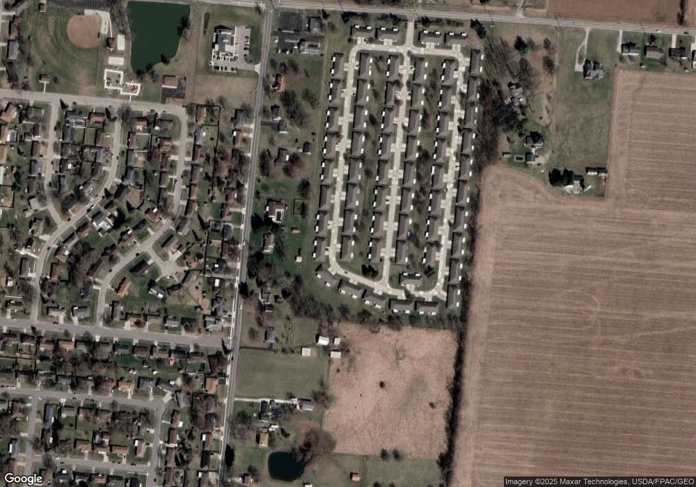
Map
Nearby Homes
- 4849 Ashley Dr
- 4924 Brannan Dr E Unit 4924
- 4644 Middle Urbana Rd
- 4620 Eldora Dr
- 4620 Eldora St
- 4800 Mesa Ln
- 4740 Merrimont Ave
- 1835 Sierra Ave
- 1709 Thomas Dr
- 4825 Chippendale Dr
- 4524 Ridgewood Rd E
- 4316 Phoenix Dr
- 4321 Tulane Rd
- 4512 Ridgewood Rd E
- 4438 Tacoma St
- 4249 Reno Rd
- 5127 Stoneridge Dr
- 4223 Wabash Dr
- 4844 Brannan Dr W
- 4842 Brannan Dr W Unit 4842
- 4854 Brannan Dr W Unit 4854
- 4856 Brannan Dr W
- 4843 Brannan Dr W
- 4843 Brannan Dr W
- 4853 Brannan Dr W
- 4853 Brannan Dr W
- 4835 Auston St
- 4841 Brannan Dr W Unit 4841
- 4833 Auston St
- 4845 Auston St
- 4855 Brannan Dr W
- 4831 Brannan Dr W
- 4847 Auston St
- 4866 Brannan Dr W Unit 4866
- 4866 Brannan Dr W
- 4829 Brannan Dr W Unit 4829
- 4829 Brannan Dr W
- 4819 Brannan Dr W