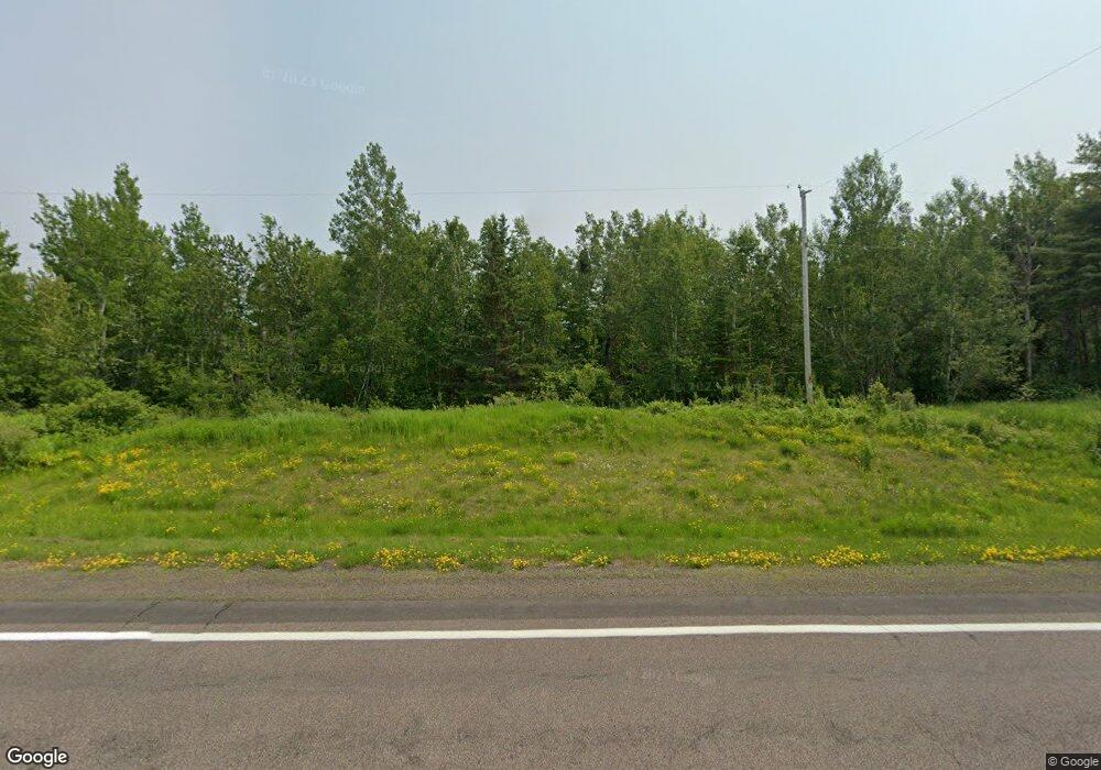
4845 State Highway 13 Port Wing, WI 54865
Estimated Value: $88,000 - $324,000
--
Bed
--
Bath
--
Sq Ft
20.21
Acres
About This Home
This home is located at 4845 State Highway 13, Port Wing, WI 54865 and is currently estimated at $174,511. 4845 State Highway 13 is a home with nearby schools including South Shore Elementary School and South Shore Junior/Senior High School.
Ownership History
Date
Name
Owned For
Owner Type
Purchase Details
Closed on
Feb 13, 2018
Sold by
Bliese Dennis E and Bliese Maria C
Bought by
Smith Jake S
Current Estimated Value
Home Financials for this Owner
Home Financials are based on the most recent Mortgage that was taken out on this home.
Original Mortgage
$42,000
Outstanding Balance
$37,013
Interest Rate
5.75%
Mortgage Type
New Conventional
Estimated Equity
$137,498
Purchase Details
Closed on
Jun 25, 2015
Sold by
Bliese Dennis E. And Maria C. Dennis E. And Maria C.
Bought by
Bliese Darren A
Create a Home Valuation Report for This Property
The Home Valuation Report is an in-depth analysis detailing your home's value as well as a comparison with similar homes in the area
Home Values in the Area
Average Home Value in this Area
Purchase History
| Date | Buyer | Sale Price | Title Company |
|---|---|---|---|
| Smith Jake S | $47,000 | Title One Premier Grp Inc | |
| Bliese Darren A | $56,700 | -- |
Source: Public Records
Mortgage History
| Date | Status | Borrower | Loan Amount |
|---|---|---|---|
| Open | Smith Jake S | $42,000 |
Source: Public Records
Tax History Compared to Growth
Tax History
| Year | Tax Paid | Tax Assessment Tax Assessment Total Assessment is a certain percentage of the fair market value that is determined by local assessors to be the total taxable value of land and additions on the property. | Land | Improvement |
|---|---|---|---|---|
| 2024 | $900 | $61,600 | $37,800 | $23,800 |
| 2023 | $736 | $61,600 | $37,800 | $23,800 |
| 2022 | $644 | $41,900 | $24,500 | $17,400 |
| 2021 | $650 | $41,900 | $24,500 | $17,400 |
| 2020 | $606 | $41,900 | $24,500 | $17,400 |
| 2019 | $598 | $41,900 | $24,500 | $17,400 |
| 2018 | $599 | $41,900 | $24,500 | $17,400 |
| 2017 | $575 | $39,800 | $24,500 | $15,300 |
| 2016 | $695 | $39,800 | $24,500 | $15,300 |
| 2015 | $852 | $56,700 | $40,400 | $16,300 |
| 2013 | $908 | $56,700 | $40,400 | $16,300 |
Source: Public Records
Map
Nearby Homes
- 54XX Old Hwy 13
- 6.03 Acres E Orienta Falls Rd
- 79170 Severson Rd
- 79900 Tarpaper Alley
- 36.6 acres on Okerstrom Rd
- Lots 13-18 Okerstrom Rd
- Lots 13-18, Block 14 Okerstrom St
- Lots 19-24, Block 14 Helsing Rd
- 8920 School Rd
- 36.6 acres off Okerstrom St
- 83360 Washington Ave
- Lots 19-24 Helsing Rd
- 11 Acres on State Highway 13
- 1xxxx State Highway 13
- 828XX White Birch Rd
- 80 Acres Near Tar Paper Alley
- 772XX Lois Ln
- 10550 Flagg River Rd
- 5295 Goetsch Rd
- xxx Hautala Rd
- 4xxx State Highway 13 Unit Tax ID 26374
- 5055 State Highway 13
- 5055 State Highway 13
- 4910 State Highway 13
- 4841 State Highway 13
- 5050 State Highway 13
- 5055 Hwy 13
- 5060 Old 13 Rd
- 5100 St Hwy 13
- 5100 State Highway 13
- 5160 State Highway 13
- 5200 State Highway 13
- 4590 State Highway 13
- 4640 Old 13 Rd
- 5230 State Highway 13
- 4540 State Highway 13
- 5270 State Highway 13
- 4835 Old 13 Rd
- 5270 Old 13 Rd
- 4430 State Highway 13
