4848 Auston St Springfield, OH 45502
Estimated Value: $176,995 - $191,000
2
Beds
2
Baths
1,252
Sq Ft
$148/Sq Ft
Est. Value
About This Home
This home is located at 4848 Auston St, Springfield, OH 45502 and is currently estimated at $184,749, approximately $147 per square foot. 4848 Auston St is a home located in Clark County with nearby schools including Northridge Elementary School, Kenton Ridge Middle & High School, and Emmanuel Christian Academy.
Ownership History
Date
Name
Owned For
Owner Type
Purchase Details
Closed on
Oct 21, 2014
Sold by
Hirtzinger Karl D and Hirtzinger Rebecca L
Bought by
Adams Janet G
Current Estimated Value
Home Financials for this Owner
Home Financials are based on the most recent Mortgage that was taken out on this home.
Original Mortgage
$83,600
Outstanding Balance
$63,797
Interest Rate
4.21%
Mortgage Type
New Conventional
Estimated Equity
$120,952
Purchase Details
Closed on
Sep 13, 2011
Sold by
Zimmer Lowell Paul and Zimmer Lowell P
Bought by
Hirtzinger Karl D and Hirtzinger Rebecca L
Home Financials for this Owner
Home Financials are based on the most recent Mortgage that was taken out on this home.
Original Mortgage
$79,325
Interest Rate
4.4%
Mortgage Type
New Conventional
Purchase Details
Closed on
Oct 26, 1993
Create a Home Valuation Report for This Property
The Home Valuation Report is an in-depth analysis detailing your home's value as well as a comparison with similar homes in the area
Home Values in the Area
Average Home Value in this Area
Purchase History
| Date | Buyer | Sale Price | Title Company |
|---|---|---|---|
| Adams Janet G | $84,800 | Attorney | |
| Hirtzinger Karl D | $83,500 | Team Title & Closing Service | |
| -- | $63,400 | -- |
Source: Public Records
Mortgage History
| Date | Status | Borrower | Loan Amount |
|---|---|---|---|
| Open | Adams Janet G | $83,600 | |
| Previous Owner | Hirtzinger Karl D | $79,325 |
Source: Public Records
Tax History
| Year | Tax Paid | Tax Assessment Tax Assessment Total Assessment is a certain percentage of the fair market value that is determined by local assessors to be the total taxable value of land and additions on the property. | Land | Improvement |
|---|---|---|---|---|
| 2025 | $1,488 | $53,510 | $7,050 | $46,460 |
| 2024 | $1,439 | $34,030 | $6,130 | $27,900 |
| 2023 | $1,439 | $34,030 | $6,130 | $27,900 |
| 2022 | $1,444 | $34,030 | $6,130 | $27,900 |
| 2021 | $1,660 | $33,090 | $4,380 | $28,710 |
| 2020 | $1,662 | $33,090 | $4,380 | $28,710 |
| 2019 | $1,693 | $33,090 | $4,380 | $28,710 |
| 2018 | $1,507 | $28,290 | $4,990 | $23,300 |
| 2017 | $1,291 | $27,357 | $4,988 | $22,369 |
| 2016 | $1,282 | $27,357 | $4,988 | $22,369 |
| 2015 | $1,275 | $27,619 | $5,250 | $22,369 |
| 2014 | $1,275 | $27,619 | $5,250 | $22,369 |
| 2013 | $1,245 | $27,619 | $5,250 | $22,369 |
Source: Public Records
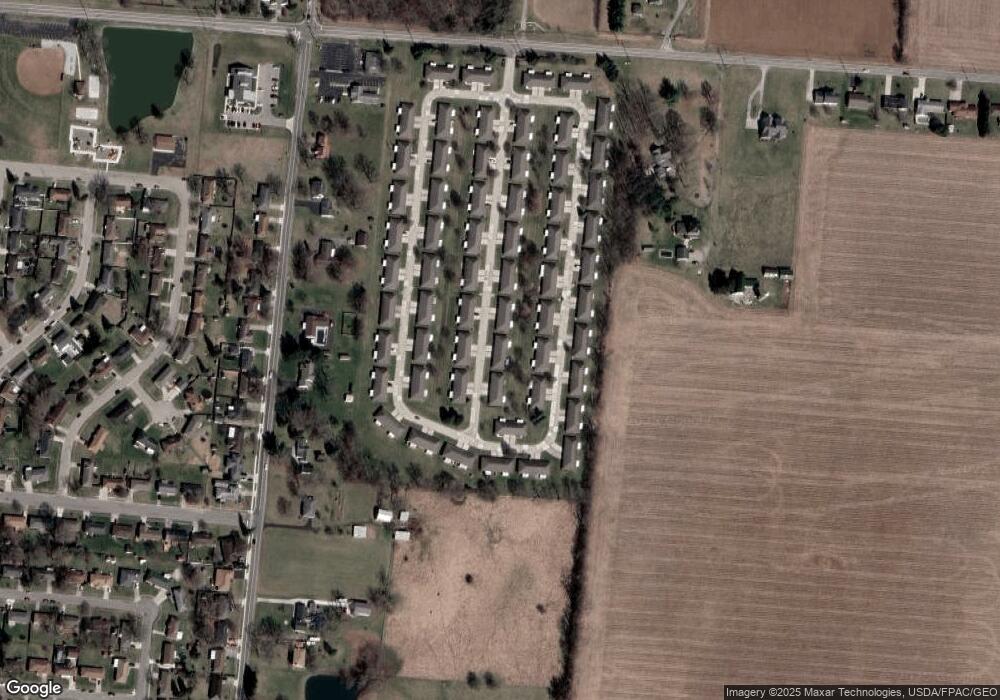
Map
Nearby Homes
- 4890 Brannan Dr W Unit 4890
- 4732 Lehigh Dr
- 4652 Reno Ln Unit 15
- 4577 Reno Ln Unit 2
- 4500 Bosart Rd
- 5033 Ridgewood Rd E
- 4446 Ridgewood Rd E Unit 3
- 1521 Erika Dr
- 4322 Midfield St Unit 15
- 4256 Midfield St Unit 9
- 1977 Willoughby Ave
- 4802 Willowbrook Dr
- 1341 Student Ave
- 5564 Ridgewood Rd E Unit 7
- 1644 Delmar Dr
- 5235 W Ridgewood Rd
- 4028 Ryland Dr Unit 4028
- 1921 Elaina Dr
- 1495 Victorian Way
- 4741 Cullen Ave
- 4848 Auston St
- 4848 Auston St Unit 4848
- 4846 Auston St Unit 4846
- 4858 Auston St
- 4860 Auston St
- 4847 Auston St
- 4836 Auston St Unit 4836
- 4836 Auston St
- 4845 Auston St
- 4839 Brannan Dr E
- 4857 Auston St
- 4837 Brannan Dr E
- 4849 Brannan Dr E
- 4859 Auston St Unit 4859
- 4859 Auston St Unit 4359
- 4834 Auston St
- 4835 Auston St
- 4827 Brannan Dr E Unit 4827
- 4851 Brannan Dr E Unit 4851
- 4870 Auston St Unit 4870
Your Personal Tour Guide
Ask me questions while you tour the home.