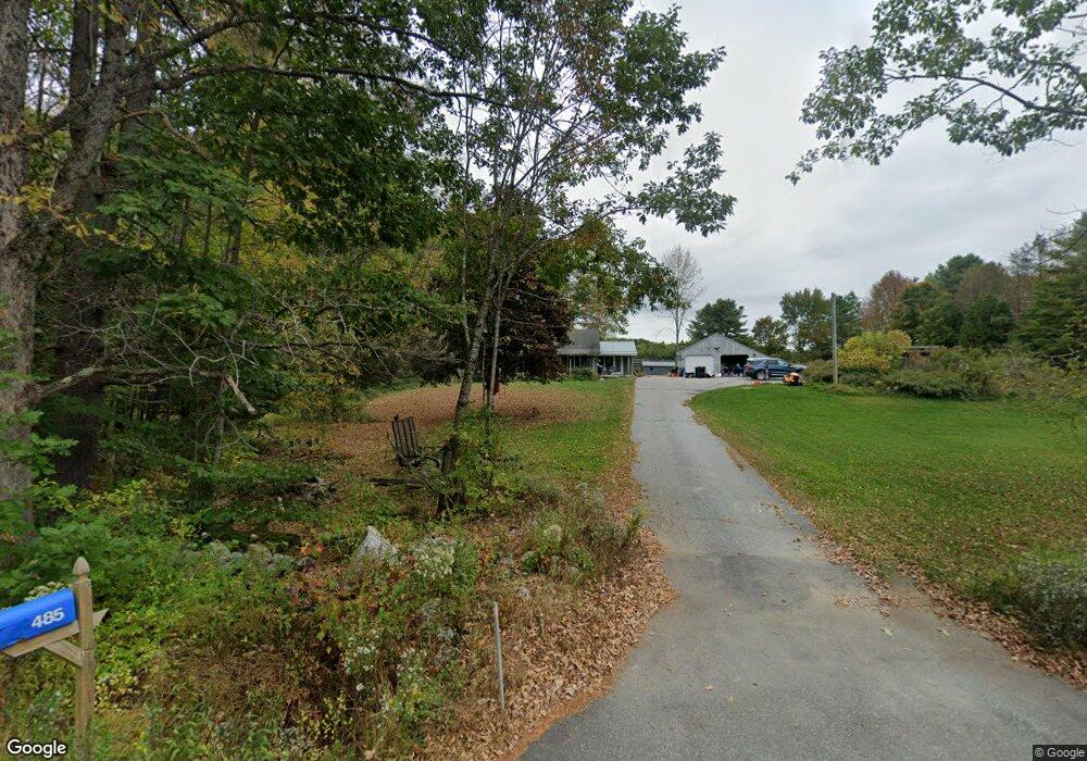
485 Allen Rd Pownal, ME 04069
Estimated Value: $445,626 - $576,000
--
Bed
--
Bath
1,080
Sq Ft
$480/Sq Ft
Est. Value
About This Home
This home is located at 485 Allen Rd, Pownal, ME 04069 and is currently estimated at $518,209, approximately $479 per square foot. 485 Allen Rd is a home with nearby schools including Freeport High School.
Ownership History
Date
Name
Owned For
Owner Type
Purchase Details
Closed on
Oct 17, 2024
Sold by
Raymond Carol B
Bought by
Raymond Carol B and Raymond Beth E
Current Estimated Value
Create a Home Valuation Report for This Property
The Home Valuation Report is an in-depth analysis detailing your home's value as well as a comparison with similar homes in the area
Home Values in the Area
Average Home Value in this Area
Purchase History
| Date | Buyer | Sale Price | Title Company |
|---|---|---|---|
| Raymond Carol B | -- | None Available | |
| Raymond Carol B | -- | None Available |
Source: Public Records
Tax History Compared to Growth
Tax History
| Year | Tax Paid | Tax Assessment Tax Assessment Total Assessment is a certain percentage of the fair market value that is determined by local assessors to be the total taxable value of land and additions on the property. | Land | Improvement |
|---|---|---|---|---|
| 2024 | $4,505 | $265,000 | $95,600 | $169,400 |
| 2023 | $4,166 | $221,000 | $79,700 | $141,300 |
| 2022 | $3,978 | $221,000 | $79,700 | $141,300 |
| 2021 | $3,978 | $221,000 | $79,700 | $141,300 |
| 2020 | $3,978 | $221,000 | $79,700 | $141,300 |
| 2019 | $4,044 | $221,000 | $79,700 | $141,300 |
| 2018 | $4,663 | $221,000 | $79,700 | $141,300 |
| 2017 | $4,436 | $221,000 | $79,700 | $141,300 |
| 2016 | $3,647 | $221,000 | $79,700 | $141,300 |
| 2015 | $3,176 | $94,100 | $19,300 | $74,800 |
| 2014 | $3,246 | $94,100 | $19,300 | $74,800 |
| 2013 | $3,270 | $94,100 | $19,300 | $74,800 |
Source: Public Records
Map
Nearby Homes
- 284 Allen Rd
- 890 Elmwood Rd
- 244 Allen Rd
- 850 Lawrence Rd
- 026-01 Dow Ln
- 99 Rangdale Rd
- 238 Hallowell Rd
- 200 Woodman Rd
- 79 Birchwood Terrace
- 0 New Gloucester Rd
- 118 Royal Rd
- 395 New Gloucester Rd
- 162 Merrill Rd
- 160 Gloucester Hill Rd
- 155 & 151 Gloucester Hill Rd
- 0018-C Gloucester Hill Rd
- 10 Cobbs Bridge Rd
- 1 Mattie Ln
- 4 Harper's Trail
- 0 Mayall