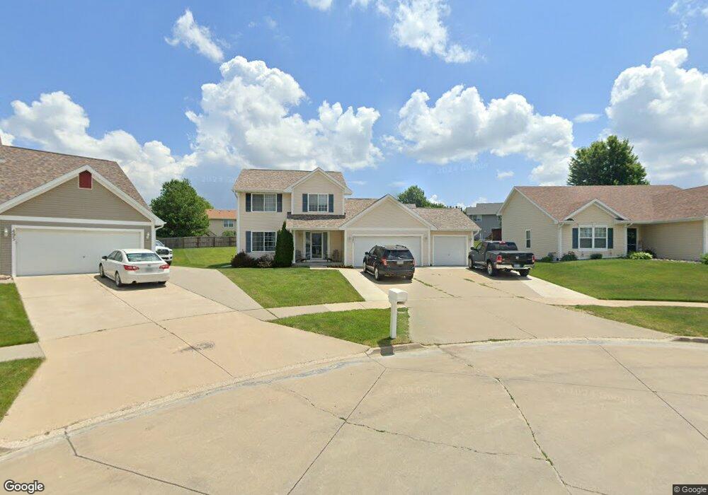
485 Boulder Ridge Ct Pleasant Hill, IA 50327
Estimated Value: $301,000 - $322,567
3
Beds
3
Baths
1,496
Sq Ft
$206/Sq Ft
Est. Value
About This Home
This home is located at 485 Boulder Ridge Ct, Pleasant Hill, IA 50327 and is currently estimated at $308,392, approximately $206 per square foot. 485 Boulder Ridge Ct is a home located in Polk County with nearby schools including Four Mile Elementary School, Southeast Polk Spring Creek- 6th Grade, and Southeast Polk Junior High School.
Ownership History
Date
Name
Owned For
Owner Type
Purchase Details
Closed on
Jan 20, 2004
Sold by
Midland Homes Lc
Bought by
Griggs Doug W and Griggs Karla J
Current Estimated Value
Home Financials for this Owner
Home Financials are based on the most recent Mortgage that was taken out on this home.
Original Mortgage
$127,260
Outstanding Balance
$59,556
Interest Rate
5.91%
Mortgage Type
Purchase Money Mortgage
Estimated Equity
$248,836
Create a Home Valuation Report for This Property
The Home Valuation Report is an in-depth analysis detailing your home's value as well as a comparison with similar homes in the area
Home Values in the Area
Average Home Value in this Area
Purchase History
| Date | Buyer | Sale Price | Title Company |
|---|---|---|---|
| Griggs Doug W | $172,000 | -- | |
| Midland Homes Lc | -- | -- |
Source: Public Records
Mortgage History
| Date | Status | Borrower | Loan Amount |
|---|---|---|---|
| Open | Griggs Doug W | $127,260 |
Source: Public Records
Tax History Compared to Growth
Tax History
| Year | Tax Paid | Tax Assessment Tax Assessment Total Assessment is a certain percentage of the fair market value that is determined by local assessors to be the total taxable value of land and additions on the property. | Land | Improvement |
|---|---|---|---|---|
| 2025 | $4,780 | $321,700 | $76,500 | $245,200 |
| 2024 | $4,780 | $283,700 | $66,600 | $217,100 |
| 2023 | $4,654 | $283,700 | $66,600 | $217,100 |
| 2022 | $4,596 | $233,300 | $55,600 | $177,700 |
| 2021 | $4,450 | $233,300 | $55,600 | $177,700 |
| 2020 | $4,374 | $215,200 | $51,400 | $163,800 |
| 2019 | $4,130 | $215,200 | $51,400 | $163,800 |
| 2018 | $4,144 | $195,800 | $45,500 | $150,300 |
| 2017 | $4,064 | $195,800 | $45,500 | $150,300 |
| 2016 | $4,046 | $175,200 | $40,300 | $134,900 |
| 2015 | $4,046 | $175,200 | $40,300 | $134,900 |
| 2014 | $3,938 | $169,400 | $38,500 | $130,900 |
Source: Public Records
Map
Nearby Homes
- 5955 E Oakwood Dr
- 5915 E Oakwood Dr
- 400 Coral Ridge Blvd
- 445 Ridgewood Blvd
- 5930 Martin Dr
- 6019 Robin Rd
- 730 Caliburn St
- Lacona Plan at Hawthorn
- Monroe Plan at Hawthorn
- Eldridge Plan at Hawthorn
- Chester Plan at Hawthorn
- 714 Caliburn St
- 722 Caliburn St
- 404 Pleasant Cir
- 290 Amberwood Dr
- 6331 Autumn Leaf Ln
- 5679 Fernwood Dr
- 1129 Flagstone Ln
- 5667 Fernwood Dr
- 6440 NE Rising Sun Dr
- 475 Boulder Ridge Ct
- 495 Boulder Ridge Ct
- 480 NE 60th St
- 490 NE 60th St
- 470 NE 60th St
- 460 NE 60th St
- 465 Boulder Ridge Ct
- 505 Boulder Ridge Ct
- 450 NE 60th St
- 510 NE 60th St
- 455 Boulder Ridge Ct
- 440 NE 60th St
- 500 Boulder Ridge Ct
- 445 Boulder Ridge Ct
- 480 Boulder Ridge Ct
- 490 Boulder Ridge Ct
- 470 Boulder Ridge Ct
- 430 NE 60th St
- 487 NE 60th St
- 481 NE 60th St