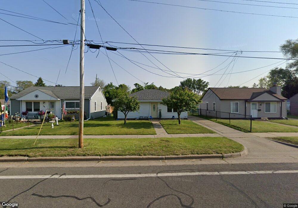
485 Cliff St Battle Creek, MI 49014
Post Franklin NeighborhoodEstimated Value: $53,000 - $108,000
2
Beds
1
Bath
734
Sq Ft
$116/Sq Ft
Est. Value
About This Home
This home is located at 485 Cliff St, Battle Creek, MI 49014 and is currently estimated at $85,403, approximately $116 per square foot. 485 Cliff St is a home located in Calhoun County with nearby schools including Verona Elementary School, Springfield Middle School, and Battle Creek Central High School.
Ownership History
Date
Name
Owned For
Owner Type
Purchase Details
Closed on
Sep 12, 2003
Sold by
Gardiner Chong Sue
Bought by
Bankers Trust Co Of California
Current Estimated Value
Purchase Details
Closed on
Oct 12, 2000
Sold by
Mccleary Carol E and Mccleary Spear Ella J
Bought by
Gardiner Chong Sue
Purchase Details
Closed on
Apr 22, 1999
Sold by
Mccleary Carol E and Mccleary Spear Ella J
Bought by
Gardiner Chong Sue
Purchase Details
Closed on
May 17, 1995
Bought by
Mccleary and Spear
Create a Home Valuation Report for This Property
The Home Valuation Report is an in-depth analysis detailing your home's value as well as a comparison with similar homes in the area
Home Values in the Area
Average Home Value in this Area
Purchase History
| Date | Buyer | Sale Price | Title Company |
|---|---|---|---|
| Bankers Trust Co Of California | $49,500 | -- | |
| Gardiner Chong Sue | $34,000 | -- | |
| Gardiner Chong Sue | $34,000 | -- | |
| Mccleary | $28,900 | -- |
Source: Public Records
Tax History Compared to Growth
Tax History
| Year | Tax Paid | Tax Assessment Tax Assessment Total Assessment is a certain percentage of the fair market value that is determined by local assessors to be the total taxable value of land and additions on the property. | Land | Improvement |
|---|---|---|---|---|
| 2025 | -- | $22,400 | $0 | $0 |
| 2024 | $659 | $18,829 | $0 | $0 |
| 2023 | $838 | $17,003 | $0 | $0 |
| 2022 | $595 | $14,738 | $0 | $0 |
| 2021 | $796 | $13,550 | $0 | $0 |
| 2020 | $750 | $13,581 | $0 | $0 |
| 2019 | $746 | $13,684 | $0 | $0 |
| 2018 | $746 | $12,629 | $651 | $11,978 |
| 2017 | $726 | $13,185 | $0 | $0 |
| 2016 | $724 | $12,084 | $0 | $0 |
| 2015 | $710 | $13,351 | $1,474 | $11,877 |
| 2014 | $710 | $11,050 | $1,474 | $9,576 |
Source: Public Records
Map
Nearby Homes
- 23 Bradford St
- 79 Clark St
- 138 Rook St
- 131 Academy St
- 0 Rook St Unit 25019652
- 222 Lathrop Ave
- 116 Inn Rd
- 232 Cliff St
- 118 Nelson St
- 174 Lathrop Ave
- 155 Post Ave
- 507 Michigan Ave E
- 501 Michigan Ave E
- 180 Grenville St
- 250 Silver St
- 100 Illinois St
- 130 Cliff St
- 140 Princeton St S
- 390 E Michigan Ave
- 0 E River Rd