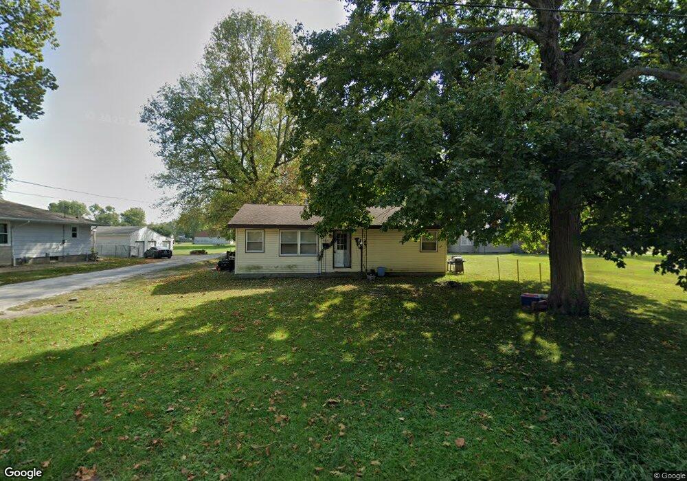
485 E Independence Ave Jacksonville, IL 62650
Estimated Value: $24,000 - $66,000
Studio
--
Bath
1,482
Sq Ft
$34/Sq Ft
Est. Value
About This Home
This home is located at 485 E Independence Ave, Jacksonville, IL 62650 and is currently estimated at $50,782, approximately $34 per square foot. 485 E Independence Ave is a home located in Morgan County with nearby schools including Jacksonville High School, Salem Lutheran School, and Salem Lutheran School.
Ownership History
Date
Name
Owned For
Owner Type
Purchase Details
Closed on
Oct 17, 2025
Sold by
Farmers State Bank And Trust Company
Bought by
Jacksonville Property Managers Llc
Current Estimated Value
Purchase Details
Closed on
Jun 2, 2025
Sold by
Morgan County
Bought by
Farmers State Bank & Trust
Purchase Details
Closed on
Aug 15, 2008
Sold by
Mckean Lois
Bought by
Clinton Mary E
Home Financials for this Owner
Home Financials are based on the most recent Mortgage that was taken out on this home.
Original Mortgage
$50,000
Interest Rate
7%
Mortgage Type
Construction
Create a Home Valuation Report for This Property
The Home Valuation Report is an in-depth analysis detailing your home's value as well as a comparison with similar homes in the area
Home Values in the Area
Average Home Value in this Area
Purchase History
| Date | Buyer | Sale Price | Title Company |
|---|---|---|---|
| Jacksonville Property Managers Llc | $23,000 | None Listed On Document | |
| Farmers State Bank & Trust | -- | None Listed On Document | |
| Clinton Mary E | $12,000 | None Available |
Source: Public Records
Mortgage History
| Date | Status | Borrower | Loan Amount |
|---|---|---|---|
| Previous Owner | Clinton Mary E | $50,000 |
Source: Public Records
Tax History
| Year | Tax Paid | Tax Assessment Tax Assessment Total Assessment is a certain percentage of the fair market value that is determined by local assessors to be the total taxable value of land and additions on the property. | Land | Improvement |
|---|---|---|---|---|
| 2024 | $120 | $12,580 | $920 | $11,660 |
| 2023 | $13 | $11,140 | $920 | $10,220 |
| 2022 | $87 | $11,910 | $920 | $10,990 |
| 2021 | -- | $7,690 | $920 | $6,770 |
| 2020 | $111 | $7,690 | $920 | $6,770 |
| 2019 | $111 | $12,200 | $920 | $11,280 |
| 2018 | $109 | $12,200 | $920 | $11,280 |
| 2017 | $553 | $12,200 | $920 | $11,280 |
| 2016 | $558 | $12,200 | $920 | $11,280 |
| 2015 | $577 | $12,200 | $920 | $11,280 |
| 2014 | $577 | $6,250 | $900 | $5,350 |
| 2013 | $22 | $6,250 | $900 | $5,350 |
Source: Public Records
Map
Nearby Homes
- 826 N East St
- 600 E Independence Ave
- 636 N East St
- 617 N East St
- 908 Hackett Ave
- 607 N East St
- None None Ave
- 321 Fulton St
- 1135 Allen Ave
- 619-621 Hooker St
- 361 E Douglas Ave
- 215 Brown St
- 352 E State St
- E Independence Ave
- 0 W Independence Ave
- 314 W Douglas Ave
- 1040 N Church St
- 1080 N Fayette St
- 613 E College Ave Unit 4
- 223 Hardin Ave
- 487 E Independence Ave
- 742 N Clay Ave
- 738 N Clay Ave
- 489 E Independence Ave
- 800 N Clay Ave
- 813 Beesley Ave
- 802 N Clay Ave
- 728 N Clay Ave
- 804 N Clay Ave
- 493 E Independence Ave
- 817 Beesley Ave
- 722 N Clay Ave
- 346 E Independence Ave
- 810 Beesley Ave
- 822 N Clay Ave
- 495 E Independence Ave
- 718 N Clay Ave
- 807 N Clay Ave
- 342 E Independence Ave
- 824 N Clay Ave
Your Personal Tour Guide
Ask me questions while you tour the home.