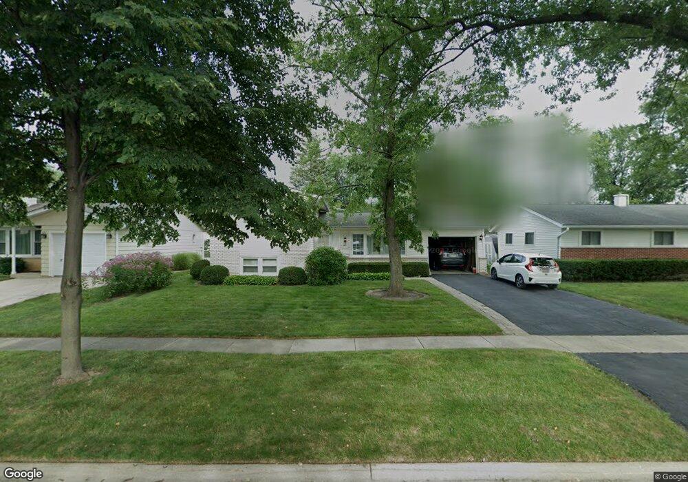
485 Patton Dr Buffalo Grove, IL 60089
South Buffalo Grove NeighborhoodEstimated Value: $371,000 - $421,000
3
Beds
2
Baths
1,106
Sq Ft
$350/Sq Ft
Est. Value
About This Home
This home is located at 485 Patton Dr, Buffalo Grove, IL 60089 and is currently estimated at $387,365, approximately $350 per square foot. 485 Patton Dr is a home located in Cook County with nearby schools including Joyce Kilmer Elementary School, Cooper Middle School, and Buffalo Grove High School.
Ownership History
Date
Name
Owned For
Owner Type
Purchase Details
Closed on
Dec 15, 2011
Sold by
Weinmann Gerald
Bought by
Weinmann Deborah
Current Estimated Value
Home Financials for this Owner
Home Financials are based on the most recent Mortgage that was taken out on this home.
Original Mortgage
$173,720
Interest Rate
3.87%
Mortgage Type
FHA
Create a Home Valuation Report for This Property
The Home Valuation Report is an in-depth analysis detailing your home's value as well as a comparison with similar homes in the area
Home Values in the Area
Average Home Value in this Area
Purchase History
| Date | Buyer | Sale Price | Title Company |
|---|---|---|---|
| Weinmann Deborah | -- | North American Title Co |
Source: Public Records
Mortgage History
| Date | Status | Borrower | Loan Amount |
|---|---|---|---|
| Closed | Weinmann Deborah | $173,720 |
Source: Public Records
Tax History Compared to Growth
Tax History
| Year | Tax Paid | Tax Assessment Tax Assessment Total Assessment is a certain percentage of the fair market value that is determined by local assessors to be the total taxable value of land and additions on the property. | Land | Improvement |
|---|---|---|---|---|
| 2024 | $7,052 | $28,000 | $6,750 | $21,250 |
| 2023 | $6,726 | $28,000 | $6,750 | $21,250 |
| 2022 | $6,726 | $28,000 | $6,750 | $21,250 |
| 2021 | $7,441 | $24,391 | $4,312 | $20,079 |
| 2020 | $7,319 | $24,391 | $4,312 | $20,079 |
| 2019 | $7,311 | $27,042 | $4,312 | $22,730 |
| 2018 | $7,291 | $24,605 | $3,750 | $20,855 |
| 2017 | $7,177 | $24,605 | $3,750 | $20,855 |
| 2016 | $6,943 | $24,605 | $3,750 | $20,855 |
| 2015 | $6,578 | $21,986 | $3,187 | $18,799 |
| 2014 | $6,487 | $21,986 | $3,187 | $18,799 |
| 2013 | $5,978 | $21,986 | $3,187 | $18,799 |
Source: Public Records
Map
Nearby Homes
- 476 Raupp Blvd
- 455 Mayfair Ln
- 234 Mohawk Trail
- 310 Rosewood Ave
- 250 Old Oak Dr Unit 275
- 665 Thornwood Dr
- 443 Diane Dr
- 183 Saint Marys Pkwy
- 98 Glendale Rd
- 10 Old Oak Dr Unit 103
- 410 Chatham Cir
- 535 Estate Dr
- 25 Crestview Terrace
- 51 Old Oak Dr Unit 414
- 51 Old Oak Dr Unit 302
- 820 Weidner Rd Unit 4013
- 820 Weidner Rd Unit 409
- 813 Stradford Cir Unit 21B2
- 859 Beechwood Rd
- 408 Indian Hill Dr