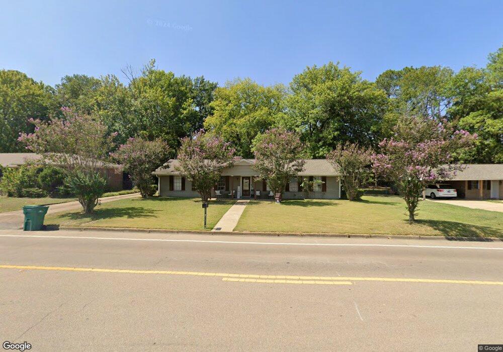
485 S Thomas St Tupelo, MS 38801
Thomas Street NeighborhoodEstimated Value: $169,000 - $237,000
4
Beds
3
Baths
1,798
Sq Ft
$114/Sq Ft
Est. Value
About This Home
This home is located at 485 S Thomas St, Tupelo, MS 38801 and is currently estimated at $204,773, approximately $113 per square foot. 485 S Thomas St is a home located in Lee County with nearby schools including Thomas Street Elementary School, Pierce Street Elementary School, and Tupelo Middle School.
Ownership History
Date
Name
Owned For
Owner Type
Purchase Details
Closed on
Apr 8, 2019
Sold by
Darden Robert W
Bought by
Fort Johnny N and Clark Lavontra S
Current Estimated Value
Home Financials for this Owner
Home Financials are based on the most recent Mortgage that was taken out on this home.
Original Mortgage
$122,000
Outstanding Balance
$10,012
Interest Rate
4.4%
Mortgage Type
New Conventional
Estimated Equity
$194,761
Purchase Details
Closed on
May 3, 2016
Sold by
Neighborhood Dev Corp
Bought by
Darden Robert
Purchase Details
Closed on
Apr 21, 2016
Sold by
City Of Tupelo Ms
Bought by
Neighborhood Dev Corp
Purchase Details
Closed on
Jul 20, 2015
Sold by
Not Provided
Bought by
Not Provided
Create a Home Valuation Report for This Property
The Home Valuation Report is an in-depth analysis detailing your home's value as well as a comparison with similar homes in the area
Home Values in the Area
Average Home Value in this Area
Purchase History
| Date | Buyer | Sale Price | Title Company |
|---|---|---|---|
| Fort Johnny N | -- | None Available | |
| Darden Robert | -- | -- | |
| Neighborhood Dev Corp | -- | -- | |
| Not Provided | -- | -- |
Source: Public Records
Mortgage History
| Date | Status | Borrower | Loan Amount |
|---|---|---|---|
| Open | Fort Johnny N | $122,000 |
Source: Public Records
Tax History Compared to Growth
Tax History
| Year | Tax Paid | Tax Assessment Tax Assessment Total Assessment is a certain percentage of the fair market value that is determined by local assessors to be the total taxable value of land and additions on the property. | Land | Improvement |
|---|---|---|---|---|
| 2025 | $1,741 | $12,808 | $0 | $0 |
| 2024 | $1,741 | $12,808 | $0 | $0 |
| 2023 | $1,502 | $11,222 | $0 | $0 |
| 2022 | $1,352 | $11,222 | $0 | $0 |
| 2021 | $1,352 | $11,222 | $0 | $0 |
| 2020 | $1,502 | $11,222 | $0 | $0 |
| 2019 | $2,101 | $15,701 | $0 | $0 |
| 2018 | $0 | $0 | $0 | $0 |
| 2017 | $0 | $0 | $0 | $0 |
| 2016 | $0 | $0 | $0 | $0 |
| 2015 | $2,073 | $15,602 | $0 | $0 |
| 2014 | $2,073 | $15,602 | $0 | $0 |
Source: Public Records
Map
Nearby Homes
- 2509 Confederate Ave
- 2516 Hampton Ave
- 507 Stewart Dr
- 2507 Stonewall Cir
- 1006 Clover Cove
- 105 Yosemite Cir
- Lot 26 Spring Lake (Jasmine)
- 405 S Foster Dr
- 945 Morning Glory Cir
- 623 Maynard Dr
- 401 S Foster Dr
- 106 Wildwood Cir
- 2872 Orchid Cir
- 1264 Morning Glory Cir
- 214 Nanney Dr
- 2306 Woods St
- 1307 Dogwood Dr
- Lot 195 Spring Lake
- 2700 W Main St
- 25 ac Mississippi 6