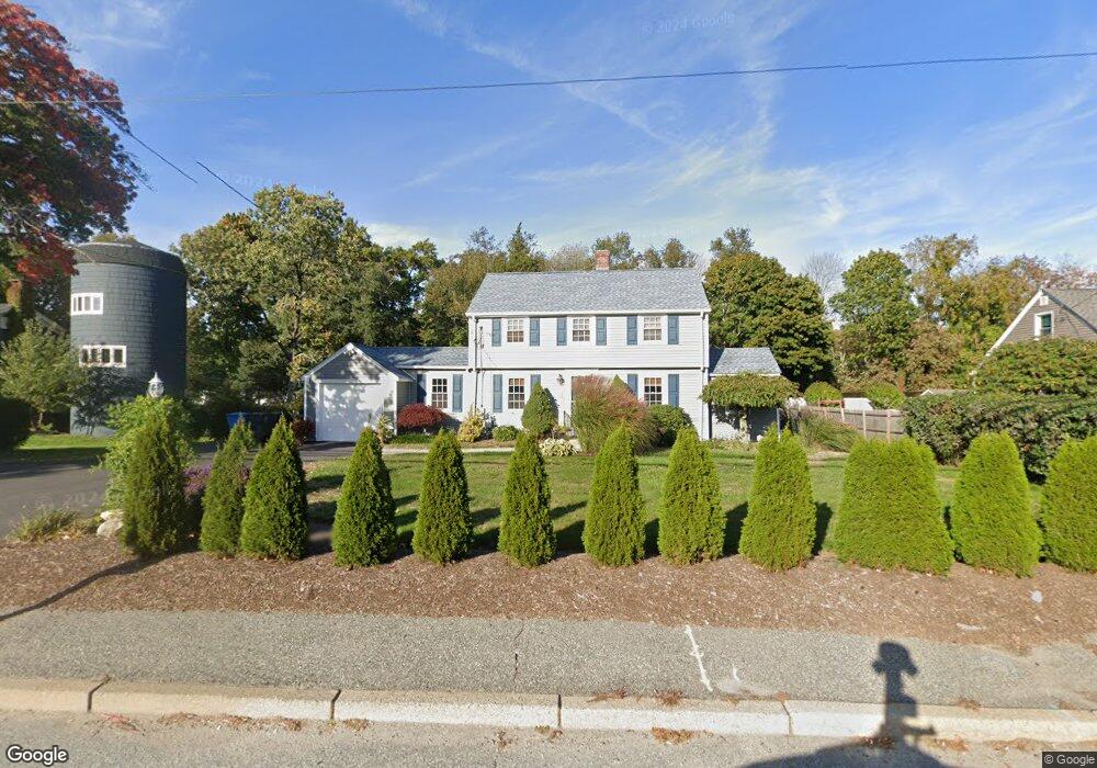
485 Scituate Ave Cranston, RI 02921
Comstock Gardens NeighborhoodEstimated Value: $402,000 - $430,000
2
Beds
1
Bath
1,252
Sq Ft
$337/Sq Ft
Est. Value
About This Home
This home is located at 485 Scituate Ave, Cranston, RI 02921 and is currently estimated at $421,341, approximately $336 per square foot. 485 Scituate Ave is a home located in Providence County with nearby schools including Stone Hill School, Western Hills Middle School, and Cranston High School West.
Ownership History
Date
Name
Owned For
Owner Type
Purchase Details
Closed on
Jul 27, 2020
Sold by
Mckeon William R and Mckeon Barbara J
Bought by
Mckeon William A
Current Estimated Value
Purchase Details
Closed on
Jul 27, 2009
Sold by
Mckeon Sarah J and Mckeon William A
Bought by
Shallcross Charles
Purchase Details
Closed on
Dec 19, 2005
Sold by
Brown C Leona
Bought by
Mckeon William A and Mckeon Sarah J
Home Financials for this Owner
Home Financials are based on the most recent Mortgage that was taken out on this home.
Original Mortgage
$176,000
Interest Rate
6.34%
Mortgage Type
Purchase Money Mortgage
Create a Home Valuation Report for This Property
The Home Valuation Report is an in-depth analysis detailing your home's value as well as a comparison with similar homes in the area
Home Values in the Area
Average Home Value in this Area
Purchase History
| Date | Buyer | Sale Price | Title Company |
|---|---|---|---|
| Mckeon William A | -- | None Available | |
| Shallcross Charles | $120,000 | -- | |
| Mckeon William A | $220,000 | -- |
Source: Public Records
Mortgage History
| Date | Status | Borrower | Loan Amount |
|---|---|---|---|
| Previous Owner | Mckeon William A | $270,000 | |
| Previous Owner | Mckeon William A | $176,000 | |
| Previous Owner | Mckeon William A | $44,000 |
Source: Public Records
Tax History
| Year | Tax Paid | Tax Assessment Tax Assessment Total Assessment is a certain percentage of the fair market value that is determined by local assessors to be the total taxable value of land and additions on the property. | Land | Improvement |
|---|---|---|---|---|
| 2025 | $5,069 | $365,200 | $134,500 | $230,700 |
| 2024 | $4,970 | $365,200 | $134,500 | $230,700 |
| 2023 | $4,770 | $252,400 | $88,500 | $163,900 |
| 2022 | $4,672 | $252,400 | $88,500 | $163,900 |
| 2021 | $4,543 | $252,400 | $88,500 | $163,900 |
| 2020 | $4,316 | $207,800 | $84,300 | $123,500 |
| 2019 | $4,316 | $207,800 | $84,300 | $123,500 |
| 2018 | $4,216 | $207,800 | $84,300 | $123,500 |
| 2017 | $4,113 | $179,300 | $75,800 | $103,500 |
| 2016 | $4,025 | $179,300 | $75,800 | $103,500 |
| 2015 | $3,879 | $172,800 | $75,800 | $97,000 |
| 2014 | $3,730 | $163,300 | $75,800 | $87,500 |
Source: Public Records
Map
Nearby Homes
- 25 Janet Dr
- 95 Amy Dr
- 65 Janet Dr
- 105 Amy Dr
- 20 Doreen Ct
- 244 Stony Acre Dr
- 72 Westfield Dr
- 1757 Plainfield Pike
- 333 Phenix Ave
- 141 Fox Ridge Dr
- 1835 Plainfield Pike
- 27 Nardolillo St
- 0 Macera Dr
- 1603 Plainfield Pike Unit G8
- 00 Burton St
- 93 Elena St
- 9 Baker St
- 178 Highland St
- 140 Lake View Rd
- 83 Valente Dr
Your Personal Tour Guide
Ask me questions while you tour the home.