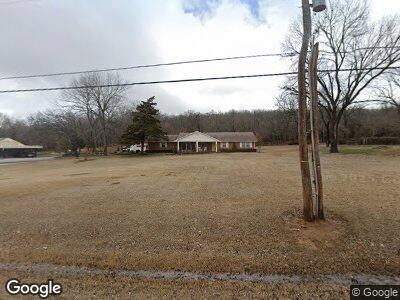
485 W 67th St Tulsa, OK 74132
West Highlands-Tulsa Hills NeighborhoodEstimated Value: $220,465 - $301,000
--
Bed
2
Baths
1,709
Sq Ft
$155/Sq Ft
Est. Value
About This Home
This home is located at 485 W 67th St, Tulsa, OK 74132 and is currently estimated at $264,866, approximately $154 per square foot. 485 W 67th St is a home located in Tulsa County with nearby schools including Jenks Middle School, Jenks West Intermediate Elementary School, and Jenks High School.
Ownership History
Date
Name
Owned For
Owner Type
Purchase Details
Closed on
Dec 31, 2002
Sold by
Ray Jimmy D and Ray Claudia J
Bought by
Ray Donald W and Ray Marsha J
Current Estimated Value
Home Financials for this Owner
Home Financials are based on the most recent Mortgage that was taken out on this home.
Original Mortgage
$56,666
Interest Rate
5.96%
Mortgage Type
Purchase Money Mortgage
Create a Home Valuation Report for This Property
The Home Valuation Report is an in-depth analysis detailing your home's value as well as a comparison with similar homes in the area
Home Values in the Area
Average Home Value in this Area
Purchase History
| Date | Buyer | Sale Price | Title Company |
|---|---|---|---|
| Ray Donald W | $16,000 | -- |
Source: Public Records
Mortgage History
| Date | Status | Borrower | Loan Amount |
|---|---|---|---|
| Closed | Ray Donald W | $50,000 | |
| Closed | Ray Donald W | $30,327 | |
| Closed | Ray Donald W | $56,666 |
Source: Public Records
Tax History Compared to Growth
Tax History
| Year | Tax Paid | Tax Assessment Tax Assessment Total Assessment is a certain percentage of the fair market value that is determined by local assessors to be the total taxable value of land and additions on the property. | Land | Improvement |
|---|---|---|---|---|
| 2024 | $1,373 | $10,655 | $913 | $9,742 |
| 2023 | $1,373 | $11,316 | $671 | $10,645 |
| 2022 | $1,371 | $9,986 | $1,519 | $8,467 |
| 2021 | $1,345 | $9,666 | $1,470 | $8,196 |
| 2020 | $1,275 | $9,356 | $1,423 | $7,933 |
| 2019 | $1,276 | $9,054 | $1,377 | $7,677 |
| 2018 | $1,275 | $9,054 | $1,377 | $7,677 |
| 2017 | $1,245 | $10,054 | $1,529 | $8,525 |
| 2016 | $1,250 | $10,054 | $1,529 | $8,525 |
| 2015 | $1,273 | $10,054 | $1,529 | $8,525 |
| 2014 | $1,270 | $10,054 | $1,529 | $8,525 |
Source: Public Records
Map
Nearby Homes
- 9216 S Union Ave
- 1809 W 62nd St
- 7711 S Galveston Ave
- 1923 W 62nd St
- 7710 S Indian Ave
- 1932 W 61st Place
- 7719 S Guthrie Ave
- 6130 S Xenophon Ave
- 7733 S Galveston Ave
- 6128 S Madison Place
- 7718 S Indian Ave
- 6437 S Newport Ave
- 7755 S Frisco Ave
- 6004 S Newport Ave Unit C9
- 164 E 57th Place
- 6737 S Peoria Ave Unit C213
- 5651 S Xenophon Ave
- 8005 S Guthrie Ave W
- 6716 S Quincy Ave
- 1037 E 57th Place Unit 4
- 485 W 67th St
- 471 W 67th St
- 701 W 67th St
- 652 W 67th St
- 650 W 67th St
- 6704 S Houston Ave
- 467 W 67th St
- 6705 S Houston Ave
- 721 W 67th St
- 718 W 67th St
- 6715 S Houston Ave
- 6702 S Houston Ave
- 608 W 67th St
- 733 W 67th St
- 459 W 67th St
- 734 W 67th St
- 6728 S Houston Ave
- 742 W 67th St
- 444 W 67th St
- 6736 S Houston Ave