485 W Robertson Rd Morgantown, IN 46160
Estimated Value: $206,000 - $297,000
2
Beds
2
Baths
2,496
Sq Ft
$101/Sq Ft
Est. Value
About This Home
This home is located at 485 W Robertson Rd, Morgantown, IN 46160 and is currently estimated at $252,185, approximately $101 per square foot. 485 W Robertson Rd is a home located in Brown County with nearby schools including Brown County High School.
Ownership History
Date
Name
Owned For
Owner Type
Purchase Details
Closed on
Apr 30, 2010
Sold by
The Lane Family Revocable Living Trust
Bought by
Carrico Christopher J and Carrico Paula J
Current Estimated Value
Home Financials for this Owner
Home Financials are based on the most recent Mortgage that was taken out on this home.
Original Mortgage
$79,746
Outstanding Balance
$53,738
Interest Rate
5.16%
Estimated Equity
$198,447
Purchase Details
Closed on
May 8, 2007
Sold by
Lane Scott and Lane Patty
Bought by
The Lane Family Revocable Living Trust
Purchase Details
Closed on
May 12, 2006
Sold by
Lane Geneva Florence
Bought by
Lane Scott and Lane Patty
Purchase Details
Closed on
Apr 25, 2005
Sold by
Lane Geneva
Bought by
Lane Geneva Florence and Geneva Florence Lane Revocable Trust
Create a Home Valuation Report for This Property
The Home Valuation Report is an in-depth analysis detailing your home's value as well as a comparison with similar homes in the area
Home Values in the Area
Average Home Value in this Area
Purchase History
| Date | Buyer | Sale Price | Title Company |
|---|---|---|---|
| Carrico Christopher J | -- | -- | |
| The Lane Family Revocable Living Trust | -- | -- | |
| Lane Scott | -- | -- | |
| Lane Geneva Florence | -- | -- |
Source: Public Records
Mortgage History
| Date | Status | Borrower | Loan Amount |
|---|---|---|---|
| Open | Carrico Christopher J | $79,746 |
Source: Public Records
Tax History Compared to Growth
Tax History
| Year | Tax Paid | Tax Assessment Tax Assessment Total Assessment is a certain percentage of the fair market value that is determined by local assessors to be the total taxable value of land and additions on the property. | Land | Improvement |
|---|---|---|---|---|
| 2024 | $362 | $127,600 | $48,100 | $79,500 |
| 2023 | $337 | $123,400 | $42,100 | $81,300 |
| 2022 | $393 | $123,600 | $42,100 | $81,500 |
| 2021 | $290 | $97,700 | $37,100 | $60,600 |
| 2020 | $230 | $84,200 | $32,100 | $52,100 |
| 2019 | $223 | $82,700 | $32,100 | $50,600 |
| 2018 | $287 | $80,800 | $32,100 | $48,700 |
| 2017 | $289 | $78,900 | $32,100 | $46,800 |
| 2016 | $274 | $80,200 | $32,100 | $48,100 |
| 2014 | $223 | $79,200 | $32,100 | $47,100 |
| 2013 | $223 | $78,200 | $32,100 | $46,100 |
Source: Public Records
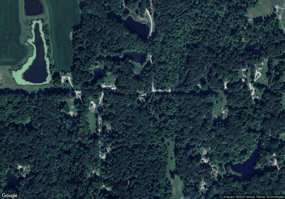
Map
Nearby Homes
- 7258 N Richardson Dr
- 8546 N Chickadee Dr
- 6412 N Stinson Rd
- 7616 N Oak Ridge Rd
- 8584 Old Haggard Rd
- 5994 Pine Tree Ln
- 0 N Lick Creek Rd Unit 24703470
- 9464 N State Road 135
- 9660 Old Haggard Rd
- 0 W Cottonwood Rd
- 5821 N Bittersweet Rd
- 4837 Covered Bridge Rd
- 3399 W Cottonwood Rd
- 5890 S Haggard Rd
- 2289 Twinlake Rd
- 4938 2nd St
- 0 Beanblossom Rd Unit MBR22059702
- 6368 Bluebird Trail
- 5320 S Lick Creek Rd
- 7847 Bean Blossom Rd
- 7439 N Thunder Ridge Rd
- 7327 N Thunder Ridge Rd
- 356 W Robertson Rd
- 7393 N Thunder Ridge Rd
- 703 W Robertson Rd
- 295 W Robertson Rd
- 291 W Robertson Rd
- 242 W Robertson Rd
- 708 W Robertson Rd
- 7354 N Thunder Ridge Rd
- 7354 Thunder Creek Ridge Rd
- 7335 N Thunder Ridge Rd
- 289 W Robertson Rd
- 7009 N Thunder Ridge Rd
- 285 W Robertson Rd
- 210 W Robertson Rd
- 482 W Robertson Rd
- 181 W Robertson Rd
- 7284 N Thunder Ridge Rd
- 162 W Robertson Rd