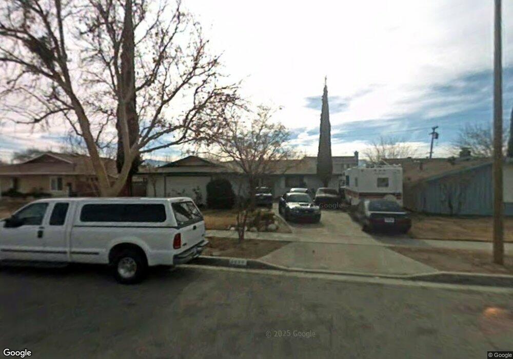
4850 E Avenue r12 Palmdale, CA 93552
East Palmdale NeighborhoodEstimated Value: $423,136 - $444,000
4
Beds
2
Baths
1,434
Sq Ft
$304/Sq Ft
Est. Value
About This Home
This home is located at 4850 E Avenue r12, Palmdale, CA 93552 and is currently estimated at $435,284, approximately $303 per square foot. 4850 E Avenue r12 is a home located in Los Angeles County with nearby schools including Chaparral Elementary School, Shadow Hills Middle School, and Knight High School.
Ownership History
Date
Name
Owned For
Owner Type
Purchase Details
Closed on
Mar 23, 2005
Sold by
Hotz Charlotte A and Lafazia Charlotte A
Bought by
Hotz Rick M
Current Estimated Value
Home Financials for this Owner
Home Financials are based on the most recent Mortgage that was taken out on this home.
Original Mortgage
$155,000
Outstanding Balance
$78,529
Interest Rate
5.6%
Mortgage Type
Credit Line Revolving
Estimated Equity
$356,755
Purchase Details
Closed on
May 31, 2002
Sold by
Va
Bought by
Lafazia Charlotte A
Create a Home Valuation Report for This Property
The Home Valuation Report is an in-depth analysis detailing your home's value as well as a comparison with similar homes in the area
Home Values in the Area
Average Home Value in this Area
Purchase History
| Date | Buyer | Sale Price | Title Company |
|---|---|---|---|
| Hotz Rick M | -- | Ticor Title Co Of California | |
| Lafazia Charlotte A | -- | -- |
Source: Public Records
Mortgage History
| Date | Status | Borrower | Loan Amount |
|---|---|---|---|
| Open | Hotz Rick M | $155,000 |
Source: Public Records
Tax History
| Year | Tax Paid | Tax Assessment Tax Assessment Total Assessment is a certain percentage of the fair market value that is determined by local assessors to be the total taxable value of land and additions on the property. | Land | Improvement |
|---|---|---|---|---|
| 2025 | $2,654 | $135,374 | $27,858 | $107,516 |
| 2024 | $2,654 | $132,720 | $27,312 | $105,408 |
| 2023 | $2,637 | $130,119 | $26,777 | $103,342 |
| 2022 | $2,545 | $127,568 | $26,252 | $101,316 |
| 2021 | $2,485 | $125,068 | $25,738 | $99,330 |
| 2019 | $2,421 | $121,361 | $24,976 | $96,385 |
| 2018 | $2,388 | $118,983 | $24,487 | $94,496 |
| 2016 | $2,240 | $114,365 | $23,537 | $90,828 |
| 2015 | $2,219 | $112,648 | $23,184 | $89,464 |
| 2014 | $2,200 | $110,442 | $22,730 | $87,712 |
Source: Public Records
Map
Nearby Homes
- 0 Vac Cor 50th St E & Ave R-12 Unit 25009166
- 5011 E Avenue r12
- 5009 E Avenue R 11
- 5009 E Avenue r11
- 37523 Wesley Ct
- 5126 Karling Place
- 4853 Katrina Place
- 4843 Katrina Place
- 37311 47th St E Unit Spc. 35
- 37543 Monarch St
- 37519 Hudson St
- 5102 Cantlewood Dr
- 37555 Sulphur Spring Rd
- 100 49th St E
- 37718 Clark Ct
- 37712 Duffel St
- 0 45th St E
- 37720 Smoke Tree St
- 37334 55th St E
- 4537 Elwood Ave
- 4844 E Avenue r12
- 4856 E Avenue r12
- 4838 E Avenue r12
- 4859 Minstrel Dr
- 4853 Minstrel Dr
- 4843 Minstrel Dr
- 4832 E Avenue r12
- 4853 E Avenue r12
- 4845 E Avenue r12
- 4857 E Avenue r12
- 4837 Minstrel Dr
- 4841 E Avenue r12
- 4826 E Avenue r12
- 37328 Festival Ct
- 37346 50th St E
- 37350 50th St E
- 4835 E Ave R12
- 4835 E Avenue r12
- 4835 E Avenue R 12
- 37340 50th St E
Your Personal Tour Guide
Ask me questions while you tour the home.