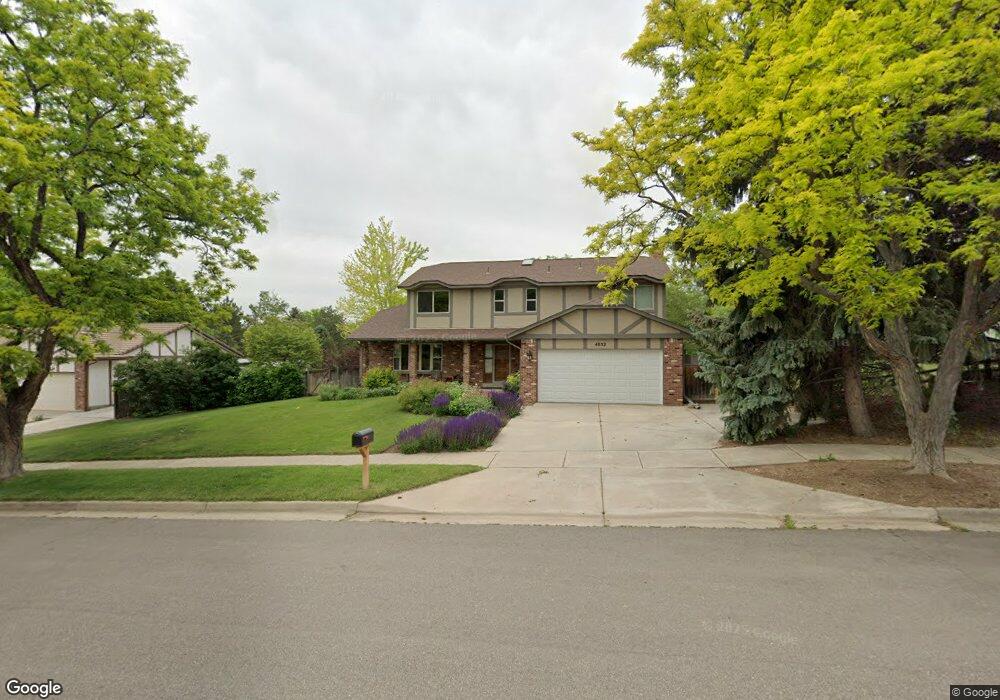
4852 W Union Ave Denver, CO 80236
Fort Logan NeighborhoodEstimated Value: $663,000 - $728,000
4
Beds
3
Baths
2,266
Sq Ft
$307/Sq Ft
Est. Value
About This Home
This home is located at 4852 W Union Ave, Denver, CO 80236 and is currently estimated at $694,889, approximately $306 per square foot. 4852 W Union Ave is a home located in Denver County with nearby schools including Kaiser Elementary School, Bear Valley International School, and John F Kennedy High School.
Ownership History
Date
Name
Owned For
Owner Type
Purchase Details
Closed on
Jul 21, 2006
Sold by
Norwalk Marquis I
Bought by
Kennedy K M
Current Estimated Value
Home Financials for this Owner
Home Financials are based on the most recent Mortgage that was taken out on this home.
Original Mortgage
$283,500
Outstanding Balance
$159,800
Interest Rate
5.75%
Mortgage Type
Purchase Money Mortgage
Estimated Equity
$535,089
Purchase Details
Closed on
Feb 28, 2000
Sold by
Norwalk Marquis I
Bought by
Norwalk Marquis I and Marquis I Norwalk Trust
Create a Home Valuation Report for This Property
The Home Valuation Report is an in-depth analysis detailing your home's value as well as a comparison with similar homes in the area
Home Values in the Area
Average Home Value in this Area
Purchase History
| Date | Buyer | Sale Price | Title Company |
|---|---|---|---|
| Kennedy K M | $315,000 | Chicago Title Co | |
| Norwalk Marquis I | -- | -- |
Source: Public Records
Mortgage History
| Date | Status | Borrower | Loan Amount |
|---|---|---|---|
| Open | Kennedy K M | $283,500 |
Source: Public Records
Tax History Compared to Growth
Tax History
| Year | Tax Paid | Tax Assessment Tax Assessment Total Assessment is a certain percentage of the fair market value that is determined by local assessors to be the total taxable value of land and additions on the property. | Land | Improvement |
|---|---|---|---|---|
| 2024 | $2,738 | $41,270 | $4,720 | $36,550 |
| 2023 | $2,679 | $41,270 | $4,720 | $36,550 |
| 2022 | $2,204 | $34,670 | $8,720 | $25,950 |
| 2021 | $2,128 | $35,670 | $8,970 | $26,700 |
| 2020 | $1,713 | $30,240 | $8,150 | $22,090 |
| 2019 | $1,665 | $30,240 | $8,150 | $22,090 |
| 2018 | $1,372 | $24,930 | $7,390 | $17,540 |
| 2017 | $1,923 | $24,930 | $7,390 | $17,540 |
| 2016 | $2,123 | $26,040 | $8,167 | $17,873 |
| 2015 | $2,034 | $26,040 | $8,167 | $17,873 |
| 2014 | $1,629 | $19,610 | $3,980 | $15,630 |
Source: Public Records
Map
Nearby Homes
- 4700 S Sheridan Blvd
- 4636 S Yates St
- 5300 Yellowstone St Unit 9
- 5300 Yellowstone St
- 4645 W Temple Place
- 5350 Yellowstone St
- 4720 W Stanford Ave
- 4474 S Vrain St
- 4665 S Raleigh St
- 5200 Sunset Dr
- 4201 W Tufts Ave
- 4155 W Stanford Ave
- 4415 S Tennyson St
- 4621 S Perry Way
- 4390 S Sheridan Blvd
- 4244 W Monmouth Ave
- 3963 W Temple Place
- 5155 W Quincy Ave Unit K103
- 5155 W Quincy Ave Unit L101
- 5095 S Osceola St
- 4902 W Union Ave
- 4802 W Union Ave
- 4698 S Xavier St
- 4857 W Wagontrail Rd
- 4942 W Union Ave
- 5001 W Wagontrail Rd
- 4699 S Xavier St
- 4792 W Union Ave
- 4697 S Wolff St
- 4694 S Xavier St
- 4691 S Wolff St
- 4801 W Wagontrail Rd
- 4689 S Xavier St
- 4801 W Wagon Trail Rd
- 4982 W Union Ave
- 4688 S Xavier St
- 4782 W Union Ave
- 4791 W Union Ave
- 5011 W Wagontrail Rd
- 4687 S Wolff St