Estimated Value: $390,843
--
Bed
--
Bath
4,000
Sq Ft
$98/Sq Ft
Est. Value
About This Home
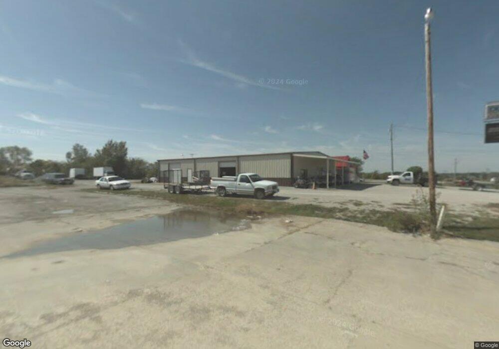
This home is located at 4853 SE Pp Hwy, Holt, MO 64048 and is currently estimated at $390,843, approximately $97 per square foot. 4853 SE Pp Hwy is a home located in Clinton County with nearby schools including Kearney Junior High School and Kearney High School.
Ownership History
Date
Name
Owned For
Owner Type
Purchase Details
Closed on
Jun 21, 2024
Sold by
Legendary Lawn Care Llc
Bought by
Howard Park Llc
Current Estimated Value
Purchase Details
Closed on
Mar 22, 2021
Sold by
Bettis Industries Llc
Bought by
Legendary Lawn Care Llc
Home Financials for this Owner
Home Financials are based on the most recent Mortgage that was taken out on this home.
Original Mortgage
$195,000
Interest Rate
2.73%
Mortgage Type
New Conventional
Purchase Details
Closed on
Nov 1, 2002
Bought by
Blevins Larry G and Polly Ann
Create a Home Valuation Report for This Property
The Home Valuation Report is an in-depth analysis detailing your home's value as well as a comparison with similar homes in the area
Home Values in the Area
Average Home Value in this Area
Purchase History
| Date | Buyer | Sale Price | Title Company |
|---|---|---|---|
| Howard Park Llc | -- | None Listed On Document | |
| Legendary Lawn Care Llc | $259,350 | New Title Company Name | |
| Blevins Larry G | -- | -- |
Source: Public Records
Mortgage History
| Date | Status | Borrower | Loan Amount |
|---|---|---|---|
| Previous Owner | Legendary Lawn Care Llc | $195,000 |
Source: Public Records
Tax History Compared to Growth
Tax History
| Year | Tax Paid | Tax Assessment Tax Assessment Total Assessment is a certain percentage of the fair market value that is determined by local assessors to be the total taxable value of land and additions on the property. | Land | Improvement |
|---|---|---|---|---|
| 2023 | $4,104 | $51,683 | $17,472 | $34,211 |
| 2022 | $3,991 | $51,683 | $17,472 | $34,211 |
| 2021 | $3,974 | $51,683 | $17,472 | $34,211 |
| 2020 | $4,720 | $57,536 | $4,800 | $52,736 |
| 2019 | $4,714 | $57,536 | $4,800 | $52,736 |
| 2018 | $4,801 | $57,536 | $4,800 | $52,736 |
| 2017 | $4,875 | $57,536 | $4,800 | $52,736 |
| 2016 | $4,823 | $23,648 | $4,800 | $18,848 |
| 2013 | -- | $23,650 | $0 | $0 |
Source: Public Records
Map
Nearby Homes
- 7621 SE Cannonball Rd
- 7129 SE Cannon Ball Rd
- 175 3rd St
- 6547 SE Horseshoe Dr
- 52 SE 208th St
- 610 Waters St
- 606 Water St
- 0 SE Cannonball Rd Unit HMS2550195
- 7355 SE Timberlake Ct
- 19412 Shanks Rd
- 19319 Old Bb
- 650 Cleveland St
- 5126 Sioux Dr
- 16605 Cc Hwy
- 5275 SE Fox Run Rd
- 7191 SE Downing Rd
- 6401 SE Hamilton Rd
- 6800 SE Hamilton Rd
- Lot 10 188th St & Downing Rd
- 18818 Thompson Rd
- 5288 SE Hwy Pp N A
- 7597 SE Shoshone Dr
- 4766 SE Pp Hwy
- 7124 SE Shoshone Dr
- Lot 1 S East Pp Hwy
- 4760 SE Pp Hwy
- 4770 SE Pp Hwy
- 7575 SE Shoshone Dr
- 4827 SE Snow Cir
- 7960 SE Scott Rd
- 7490 SE Snow Dr
- 7982 SE Scott Rd
- 7487 SE Shoshone Dr
- 4712 SE Cherry Cir
- 7476 SE Shoshone Dr
- 5127 SE 202nd St
- 4650 SE 200th St
- 4704 SE Cherry Cir
- 5169 SE 202nd St
- 7762 SE Haynesville Rd