486 Collins Rd Suffolk, VA 23438
Holy Neck NeighborhoodEstimated Value: $422,000 - $481,000
4
Beds
2
Baths
2,052
Sq Ft
$225/Sq Ft
Est. Value
About This Home
This home is located at 486 Collins Rd, Suffolk, VA 23438 and is currently estimated at $462,195, approximately $225 per square foot. 486 Collins Rd is a home located in Suffolk City with nearby schools including Southwestern Elementary School, John F. Kennedy Middle School, and Lakeland High School.
Ownership History
Date
Name
Owned For
Owner Type
Purchase Details
Closed on
Sep 24, 2015
Sold by
Lopez Frank
Bought by
Mcvean Francis
Current Estimated Value
Home Financials for this Owner
Home Financials are based on the most recent Mortgage that was taken out on this home.
Original Mortgage
$232,425
Outstanding Balance
$181,295
Interest Rate
3.95%
Mortgage Type
VA
Estimated Equity
$280,900
Create a Home Valuation Report for This Property
The Home Valuation Report is an in-depth analysis detailing your home's value as well as a comparison with similar homes in the area
Home Values in the Area
Average Home Value in this Area
Purchase History
We collect this data history from publicly available records. To have your information removed, we recommend requesting removal directly through your county’s website.
| Date | Buyer | Sale Price | Title Company |
|---|---|---|---|
| Mcvean Francis | $226,500 | Attorney |
Source: Public Records
Mortgage History
We collect this data history from publicly available records. To have your information removed, we recommend requesting removal directly through your county’s website.
| Date | Status | Borrower | Loan Amount |
|---|---|---|---|
| Open | Mcvean Francis | $232,425 |
Source: Public Records
Tax History
| Year | Tax Paid | Tax Assessment Tax Assessment Total Assessment is a certain percentage of the fair market value that is determined by local assessors to be the total taxable value of land and additions on the property. | Land | Improvement |
|---|---|---|---|---|
| 2025 | $4,794 | $406,000 | $133,700 | $272,300 |
| 2024 | $4,794 | $354,900 | $121,600 | $233,300 |
| 2023 | $4,190 | $344,400 | $121,600 | $222,800 |
| 2022 | $3,395 | $311,500 | $121,600 | $189,900 |
| 2021 | $3,192 | $287,600 | $121,600 | $166,000 |
| 2020 | $2,824 | $254,400 | $121,600 | $132,800 |
| 2019 | $2,824 | $254,400 | $121,600 | $132,800 |
| 2018 | $2,648 | $234,400 | $101,300 | $133,100 |
| 2017 | $2,365 | $221,000 | $101,300 | $119,700 |
| 2016 | $2,365 | $221,000 | $101,300 | $119,700 |
| 2015 | $1,119 | $226,500 | $101,300 | $125,200 |
| 2014 | $1,119 | $176,400 | $51,200 | $125,200 |
Source: Public Records
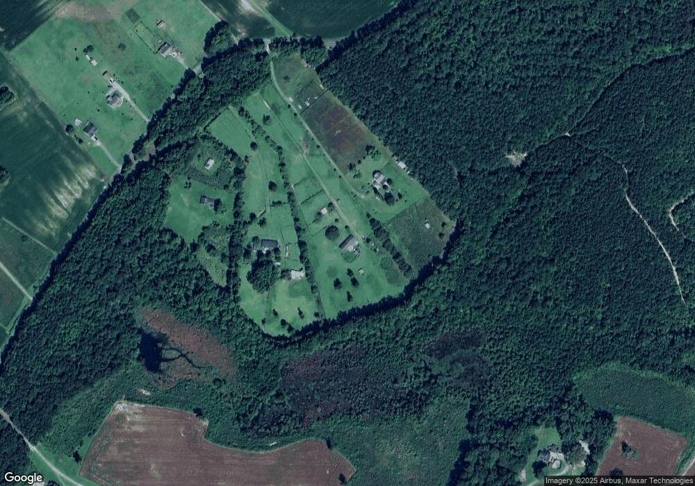
Map
Nearby Homes
- 8031 Whaleyville Blvd
- 1309 Mallory Buck Rd
- 15 Hazelton Rd
- 0 Old Mill Ln
- 98 Paige Riddick Rd
- 15 Weatherford Ln
- 2468 Freeman Mill Rd
- LT14 Hazelton Rd
- 14 Hazelton Rd
- 594 Drum Hill Rd
- 5895 Spivey Run Rd
- 4AC Little Fork Rd
- 2AC Little Fork Rd
- Lot 3 Kings Land Ct
- LT3 Foxy Ln
- LT34 Willeyton Rd
- LT33 Willeyton Rd
- LT4 Willeyton Rd
- LT1 Willeyton Rd
- LT35 Willeyton Rd
- 516 Collins Rd
- 356 Collins Rd
- 524 Collins Rd
- 520 Collins Rd
- 529 Collins Rd
- 491 Collins Rd
- 533 Collins Rd
- 487 Collins Rd
- 616 Collins Rd Unit A
- 320 Collins Rd
- 355 Collins Rd
- 620 Collins Rd
- 622 Collins Rd
- 565 Collins Rd
- 335 Collins Rd
- 495 Collins Rd
- 307 Collins Rd
- 316 Collins Rd
- 4.04AC Collins Rd
- 314 Collins Rd
Your Personal Tour Guide
Ask me questions while you tour the home.