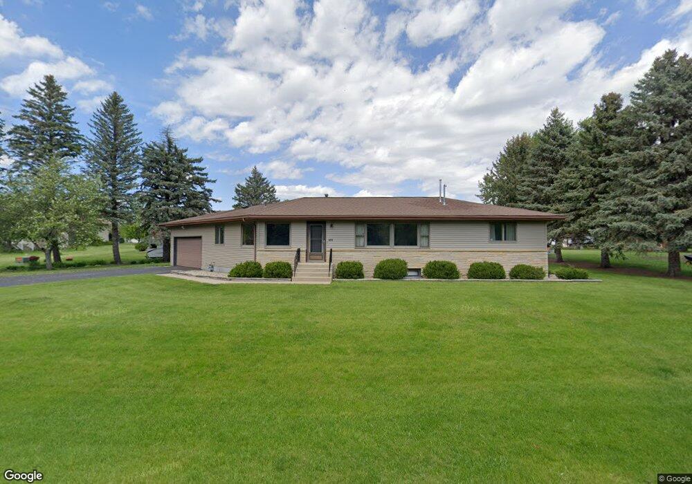
486 Forest Ln North Mankato, MN 56003
Estimated Value: $286,000 - $322,580
3
Beds
2
Baths
1,568
Sq Ft
$189/Sq Ft
Est. Value
About This Home
This home is located at 486 Forest Ln, North Mankato, MN 56003 and is currently estimated at $296,895, approximately $189 per square foot. 486 Forest Ln is a home located in Nicollet County with nearby schools including Hoover Elementary School, Dakota Meadows Middle School, and Mankato West Senior High School.
Ownership History
Date
Name
Owned For
Owner Type
Purchase Details
Closed on
Aug 1, 2025
Sold by
Kopp Agnes W and Kopp Agnes I
Bought by
Morris Adam and Morris Tiffany
Current Estimated Value
Home Financials for this Owner
Home Financials are based on the most recent Mortgage that was taken out on this home.
Original Mortgage
$275,500
Outstanding Balance
$275,026
Interest Rate
6.77%
Mortgage Type
New Conventional
Estimated Equity
$21,869
Create a Home Valuation Report for This Property
The Home Valuation Report is an in-depth analysis detailing your home's value as well as a comparison with similar homes in the area
Home Values in the Area
Average Home Value in this Area
Purchase History
| Date | Buyer | Sale Price | Title Company |
|---|---|---|---|
| Morris Adam | $290,000 | Near North Title |
Source: Public Records
Mortgage History
| Date | Status | Borrower | Loan Amount |
|---|---|---|---|
| Open | Morris Adam | $275,500 |
Source: Public Records
Tax History
| Year | Tax Paid | Tax Assessment Tax Assessment Total Assessment is a certain percentage of the fair market value that is determined by local assessors to be the total taxable value of land and additions on the property. | Land | Improvement |
|---|---|---|---|---|
| 2025 | $3,488 | $291,300 | $81,600 | $209,700 |
| 2024 | $3,270 | $291,300 | $81,600 | $209,700 |
| 2023 | $3,280 | $264,400 | $81,600 | $182,800 |
| 2022 | $2,784 | $264,400 | $81,600 | $182,800 |
| 2021 | $2,774 | $208,300 | $65,200 | $143,100 |
| 2020 | $2,742 | $201,500 | $65,200 | $136,300 |
| 2019 | $2,764 | $202,600 | $65,200 | $137,400 |
| 2018 | $2,400 | $202,600 | $65,200 | $137,400 |
| 2017 | -- | $176,200 | $0 | $0 |
| 2016 | $2,406 | $0 | $0 | $0 |
| 2015 | -- | $0 | $0 | $0 |
| 2011 | -- | $0 | $0 | $0 |
Source: Public Records
Map
Nearby Homes
- 266 Cliff Dr
- 250 Cliff Dr
- 0 Marie Ln
- 1515 Pleasant View Dr
- 629 Marie Ln
- 630 Marie Ln
- 1551 Pleasant View Dr
- 31 Pleasant View Trail
- 1607 Pleasant View Dr
- 10 Cardinal Ct
- 1805 Marie Ln
- 2028 Roe Crest Dr
- 2059 Roe Crest Dr
- 2057 Black Squirrel Trail
- 2326 Snowbird Ln
- 2219 Clare Dr
- 2201 Clare Dr
- 0 Aspen Ln
- S S Bird St
- 605 Chapman St
- 415 Forest Heights Dr
- 411 Forest Heights Dr
- 474 Forest Ln
- 419 Forest Heights Dr
- 477 Forest Ln
- 491 Forest Ln
- 491 491 Forest Ln
- 485 Forest Ln
- 566 Forest Ln
- 414 Forest Heights Dr
- 410 Forest Heights Dr
- 418 Forest Heights Dr
- 22 Marquette Ave
- 406 Forest Heights Dr
- 30 Marquette Ave
- 422 Forest Heights Dr
- 451 Forest Ln
- 451 Forest Ln Unit Corner of Marquette
- 402 Forest Heights Dr
- 426 Forest Heights Dr
Your Personal Tour Guide
Ask me questions while you tour the home.