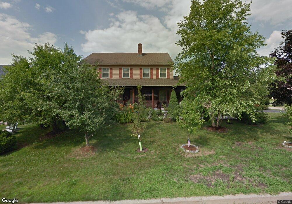
486 Orchard Dr Colchester, VT 05446
Estimated Value: $382,030 - $443,000
3
Beds
1
Bath
1,152
Sq Ft
$359/Sq Ft
Est. Value
About This Home
This home is located at 486 Orchard Dr, Colchester, VT 05446 and is currently estimated at $413,258, approximately $358 per square foot. 486 Orchard Dr is a home located in Chittenden County with nearby schools including Union Memorial School, Malletts Bay School, and Colchester Middle School.
Ownership History
Date
Name
Owned For
Owner Type
Purchase Details
Closed on
Jan 29, 2024
Sold by
Handy Joseph
Bought by
Handy
Current Estimated Value
Purchase Details
Closed on
Nov 11, 2022
Sold by
Mountaha Handy Trust
Bought by
Handy Anthony and Handy Charles
Create a Home Valuation Report for This Property
The Home Valuation Report is an in-depth analysis detailing your home's value as well as a comparison with similar homes in the area
Home Values in the Area
Average Home Value in this Area
Purchase History
| Date | Buyer | Sale Price | Title Company |
|---|---|---|---|
| Handy | -- | -- | |
| Handy | -- | -- | |
| Handy Anthony | -- | -- | |
| Handy Anthony | -- | -- |
Source: Public Records
Tax History Compared to Growth
Tax History
| Year | Tax Paid | Tax Assessment Tax Assessment Total Assessment is a certain percentage of the fair market value that is determined by local assessors to be the total taxable value of land and additions on the property. | Land | Improvement |
|---|---|---|---|---|
| 2024 | $5,144 | $233,500 | $66,100 | $167,400 |
| 2023 | $4,479 | $233,500 | $66,100 | $167,400 |
| 2022 | $4,478 | $233,500 | $66,100 | $167,400 |
| 2021 | $4,376 | $233,500 | $66,100 | $167,400 |
| 2020 | $3,534 | $179,800 | $59,000 | $120,800 |
| 2019 | $4,048 | $179,800 | $59,000 | $120,800 |
| 2018 | $3,920 | $179,800 | $59,000 | $120,800 |
| 2017 | $3,406 | $179,800 | $59,000 | $120,800 |
| 2016 | $3,718 | $179,800 | $59,000 | $120,800 |
Source: Public Records
Map
Nearby Homes
- 195 Orchard Dr
- 202 Main St
- 32 Walters Way
- 197 Middle Rd
- 174 Cobbleview Dr
- 100 Indian Cir Unit 3
- 49 7th St
- 72 6th St
- 44 2nd St
- 116 7th St
- 606 Mill Pond Rd Unit 1
- 571 Middle Rd
- 33 Naomi's Way Unit 303
- 23 Stone Dr
- 32 Stone Dr
- 4259 Roosevelt Hwy
- 500 Depot Rd
- 694 Creek Farm Rd
- 1745 Roosevelt Hwy
- 18 Walters Way
- 486 Orchard Dr
- 486 Orchard Dr
- 486 Orchard Dr
- 486 Orchard Dr
- 486 Orchard Dr
- 109 Field Green Dr
- 109 Field Green Dr
- 450 Orchard Dr
- 495 Orchard Dr
- 510 Orchard Dr
- 396 Orchard Dr
- 463 Orchard Dr
- 91 Field Green Dr
- 368 Orchard Dr
- 90 Field Green Dr
- 513 Orchard Dr
- 439 Orchard Dr
- 71 Field Green Dr
- 70 Field Green Dr
- 413 Orchard Dr