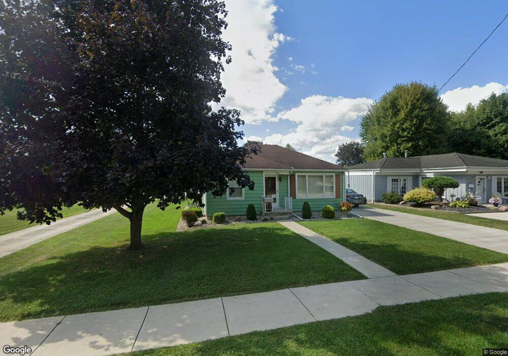
486 S Hazel St Upper Sandusky, OH 43351
Estimated Value: $138,000 - $205,000
2
Beds
1
Bath
1,231
Sq Ft
$136/Sq Ft
Est. Value
About This Home
This home is located at 486 S Hazel St, Upper Sandusky, OH 43351 and is currently estimated at $167,686, approximately $136 per square foot. 486 S Hazel St is a home located in Wyandot County with nearby schools including Upper Sandusky High School and St. Peter Elementary School.
Ownership History
Date
Name
Owned For
Owner Type
Purchase Details
Closed on
Jun 10, 2024
Sold by
Miller Larry E
Bought by
Miller Larry E and Miller Gwen D
Current Estimated Value
Purchase Details
Closed on
Mar 9, 2023
Sold by
Pryor Karen S
Bought by
Miller Larry E
Purchase Details
Closed on
Mar 4, 2015
Sold by
Miller David S
Bought by
Miller Alice J
Purchase Details
Closed on
Sep 15, 2003
Bought by
Miller Alice J
Create a Home Valuation Report for This Property
The Home Valuation Report is an in-depth analysis detailing your home's value as well as a comparison with similar homes in the area
Home Values in the Area
Average Home Value in this Area
Purchase History
| Date | Buyer | Sale Price | Title Company |
|---|---|---|---|
| Miller Larry E | $250 | None Listed On Document | |
| Miller Larry E | $250 | None Listed On Document | |
| Miller Larry E | -- | -- | |
| Miller Larry E | -- | None Listed On Document | |
| Miller Alice J | -- | None Available | |
| Miller Alice J | -- | -- |
Source: Public Records
Tax History
| Year | Tax Paid | Tax Assessment Tax Assessment Total Assessment is a certain percentage of the fair market value that is determined by local assessors to be the total taxable value of land and additions on the property. | Land | Improvement |
|---|---|---|---|---|
| 2025 | $1,327 | $44,120 | $5,830 | $38,290 |
| 2024 | $1,152 | $36,210 | $4,690 | $31,520 |
| 2023 | $1,152 | $36,210 | $4,690 | $31,520 |
| 2022 | $1,152 | $25,530 | $3,820 | $21,710 |
| 2021 | $850 | $25,530 | $3,820 | $21,710 |
| 2020 | $559 | $25,530 | $3,820 | $21,710 |
| 2019 | $558 | $25,530 | $3,820 | $21,710 |
| 2018 | $377 | $20,290 | $3,190 | $17,100 |
| 2017 | $383 | $20,290 | $3,190 | $17,100 |
| 2016 | -- | $20,290 | $3,190 | $17,100 |
| 2015 | -- | $18,950 | $3,190 | $15,760 |
| 2014 | -- | $18,950 | $3,190 | $15,760 |
| 2013 | -- | $18,950 | $3,190 | $15,760 |
Source: Public Records
Map
Nearby Homes
- 379 W Spring St
- 387 S Warpole St
- 326 S 8th St
- 430 S Sandusky Ave
- 225 S Hazel St
- 0 Ohio 53
- 137 N 8th St
- 212 N Hazel St
- 386 W Finley St
- 116 E Walker St
- 9768 County Highway 111
- 314 N 4th St
- 333 N 5th St
- 334 N 4th St
- 445 N Sandusky Ave
- 105 Old Lincoln Hwy
- 432 E Bigelow St
- 479 N 5th St
- 381 & 383 W Johnson St
- 221&221 1/2 S 7th St
- 498 S Hazel St
- 404 Spring St
- 500 S Hazel St
- 406 Spring St
- 470 S Hazel St
- 479 S Hazel St
- 501 S Hazel St
- 466 S Hazel St
- 499 S Hazel St
- 610 S Hazel St
- 555 S Warpole St
- 469 S Hazel St
- 462 S Hazel St
- 411 Spring St
- 597 S Warpole St
- 547 S Warpole St
- 373 Sweet St
- 376 Spring St
- 620 S Hazel St
- 431 W Spring St
Your Personal Tour Guide
Ask me questions while you tour the home.