486 Stow Creek Rd Ruston, LA 71270
Estimated Value: $407,000 - $547,000
Studio
1
Bath
3,420
Sq Ft
$143/Sq Ft
Est. Value
About This Home
This home is located at 486 Stow Creek Rd, Ruston, LA 71270 and is currently estimated at $490,251, approximately $143 per square foot. 486 Stow Creek Rd is a home located in Lincoln Parish with nearby schools including Glen View Elementary School, Cypress Springs Elementary School, and Ruston Junior High School.
Ownership History
Date
Name
Owned For
Owner Type
Purchase Details
Closed on
Nov 24, 2020
Sold by
White-Walsworth Carole
Bought by
Carson Carole W
Current Estimated Value
Create a Home Valuation Report for This Property
The Home Valuation Report is an in-depth analysis detailing your home's value as well as a comparison with similar homes in the area
Purchase History
| Date | Buyer | Sale Price | Title Company |
|---|---|---|---|
| Carson Carole W | -- | None Available |
Source: Public Records
Tax History
| Year | Tax Paid | Tax Assessment Tax Assessment Total Assessment is a certain percentage of the fair market value that is determined by local assessors to be the total taxable value of land and additions on the property. | Land | Improvement |
|---|---|---|---|---|
| 2025 | $3,675 | $45,131 | $2,563 | $42,568 |
| 2024 | $3,675 | $45,131 | $2,563 | $42,568 |
| 2023 | $3,176 | $37,631 | $5,033 | $32,598 |
| 2022 | $2,894 | $34,035 | $5,033 | $29,002 |
| 2021 | $2,669 | $34,035 | $5,033 | $29,002 |
| 2020 | $2,444 | $30,920 | $5,033 | $25,887 |
| 2019 | $2,574 | $33,474 | $5,033 | $28,441 |
| 2018 | $2,500 | $33,474 | $5,033 | $28,441 |
| 2017 | $2,507 | $33,474 | $5,033 | $28,441 |
| 2016 | $2,496 | $0 | $0 | $0 |
| 2015 | $2,488 | $30,615 | $4,840 | $25,775 |
| 2013 | $2,529 | $30,615 | $4,840 | $25,775 |
Source: Public Records
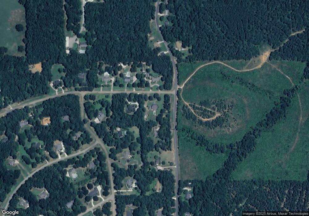
Map
Nearby Homes
- 641 Goodgoin Rd
- 144 Creeks Crossing
- 155 Creekside Dr
- 173 Oak Alley Dr
- 185 Mount Harmony Church Rd
- 145 Woodshire Ln
- Lot 1B Unit 1 Harmony Church Rd
- 1950 Louisiana 821
- 201 Vintage Ln
- 209 Burgessville Rd
- 136 Shade Tree Trace
- 128 Marlou Cir
- 0 Spillers Rd
- 197 Baxter Rd
- 294 Moody Rd
- 634 Cheatwood Rd
- 392 Tremont Dr
- 120 Douglas Ln
- 00 Cheatwood Rd
- 2420 Highway 33
- 830 Goodgoin Rd
- 482 Stow Creek Rd
- 489 Stow Creek Rd
- 147 Turkey Creek Rd
- 485 Stow Creek Rd
- 776 Goodgoin Rd
- 858 Goodgoin Rd
- 163 Turkey Creek Rd
- 123 Turkey Creek Rd
- 465 Stow Creek Rd
- 777 Goodgoin Rd
- 766 Goodgoin Rd
- 884 Goodgoin Rd
- 187 Turkey Creek Rd
- 117 Bear Creek Rd
- 445 Stow Creek Rd
- 118 Bear Creek Rd
- 757 Goodgoin Rd
- 120 Turkey Creek Rd
- 907 Goodgoin Rd
Your Personal Tour Guide
Ask me questions while you tour the home.