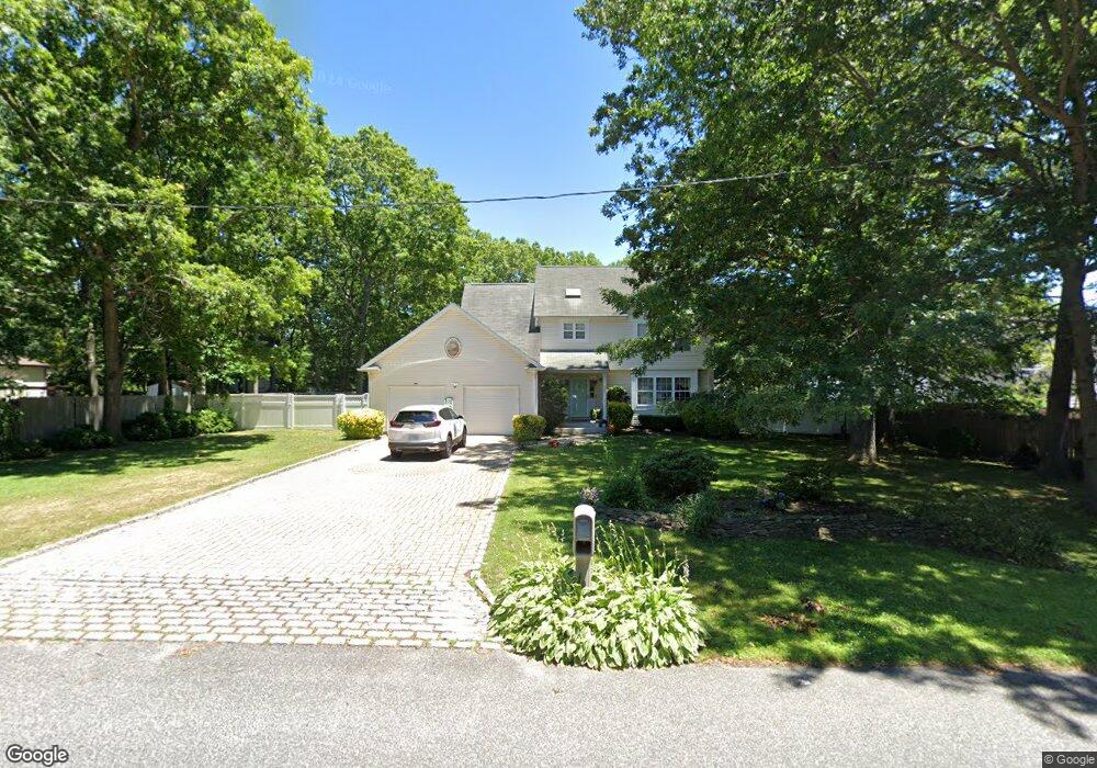
486 W End Ave Shirley, NY 11967
Estimated Value: $645,000 - $655,000
4
Beds
2
Baths
2,208
Sq Ft
$295/Sq Ft
Est. Value
About This Home
This home is located at 486 W End Ave, Shirley, NY 11967 and is currently estimated at $651,991, approximately $295 per square foot. 486 W End Ave is a home located in Suffolk County with nearby schools including Longwood Junior High School, Longwood Middle School, and Longwood Senior High School.
Ownership History
Date
Name
Owned For
Owner Type
Purchase Details
Closed on
Feb 6, 2004
Sold by
Knudsen David B
Bought by
George Sam C and George Josephine
Current Estimated Value
Home Financials for this Owner
Home Financials are based on the most recent Mortgage that was taken out on this home.
Original Mortgage
$277,950
Outstanding Balance
$128,454
Interest Rate
5.62%
Mortgage Type
Purchase Money Mortgage
Estimated Equity
$523,537
Purchase Details
Closed on
Jun 27, 2001
Sold by
Jenna Organization Inc
Bought by
Knudsen David B
Home Financials for this Owner
Home Financials are based on the most recent Mortgage that was taken out on this home.
Original Mortgage
$100,000
Interest Rate
7.21%
Purchase Details
Closed on
Mar 26, 2001
Sold by
Taormina Calogero and Taormina Maria
Bought by
Jenna Organization Inc
Create a Home Valuation Report for This Property
The Home Valuation Report is an in-depth analysis detailing your home's value as well as a comparison with similar homes in the area
Home Values in the Area
Average Home Value in this Area
Purchase History
| Date | Buyer | Sale Price | Title Company |
|---|---|---|---|
| George Sam C | $327,000 | Fidelity National Title Insu | |
| Knudsen David B | $194,000 | Commonwealth Land Title Ins | |
| Jenna Organization Inc | $55,000 | -- |
Source: Public Records
Mortgage History
| Date | Status | Borrower | Loan Amount |
|---|---|---|---|
| Open | George Sam C | $277,950 | |
| Previous Owner | Knudsen David B | $100,000 |
Source: Public Records
Tax History Compared to Growth
Tax History
| Year | Tax Paid | Tax Assessment Tax Assessment Total Assessment is a certain percentage of the fair market value that is determined by local assessors to be the total taxable value of land and additions on the property. | Land | Improvement |
|---|---|---|---|---|
| 2024 | $11,798 | $2,900 | $250 | $2,650 |
| 2023 | $11,798 | $2,900 | $250 | $2,650 |
| 2022 | $10,711 | $2,900 | $250 | $2,650 |
| 2021 | $10,711 | $2,900 | $250 | $2,650 |
| 2020 | $10,953 | $2,900 | $250 | $2,650 |
| 2019 | $10,953 | $0 | $0 | $0 |
| 2018 | $10,249 | $2,900 | $250 | $2,650 |
| 2017 | $10,249 | $2,900 | $250 | $2,650 |
| 2016 | $10,139 | $2,900 | $250 | $2,650 |
| 2015 | -- | $2,900 | $250 | $2,650 |
| 2014 | -- | $2,900 | $250 | $2,650 |
Source: Public Records
Map
Nearby Homes
- 65 Colin Dr
- 8 & 11 William Floyd Pkwy
- 411 Glen Dr
- 23 Monty Dr Unit 14
- VL Glen Dr
- 68 Crestwood Dr
- 34 Belmont Dr
- 476 Carnation Dr
- 459 Wellwood Dr
- 380 Wellwood Dr
- 461 Avondale Dr
- 1330 William Floyd Pkwy
- 283 W End Ave
- 334 Carnation Dr
- 101 Crestwood Dr
- 509 Lockwood Dr
- 8 Stratler Dr
- 336 Auborn Ave
- 140 Celine Ln Unit 12
- The Birch Plan at Country Pointe Preserve
- 107 Colin Dr
- 105 Colin Dr
- 34 Moriches Middle Island Rd
- 111 Colin Dr
- 101 Colin Dr
- 34 Moriches-Middle Island Rd
- 38 Moriches Middle Island Rd
- 115 Colin Dr
- 481 W End Ave
- 119 Colin Dr
- 40 Moriches Middle Island Rd
- 487 W End Ave
- 97 Colin Dr
- 483 W End Ave Unit 15
- 121 Colin Dr
- 108 Colin Dr
- 102 Colin Dr
- 123 Colin Dr
- 112 Colin Dr
- 95 Colin Dr