486 Wilkinson Swamp Rd Effingham, NH 03882
Estimated Value: $295,000 - $594,000
3
Beds
2
Baths
2,228
Sq Ft
$205/Sq Ft
Est. Value
About This Home
This home is located at 486 Wilkinson Swamp Rd, Effingham, NH 03882 and is currently estimated at $456,079, approximately $204 per square foot. 486 Wilkinson Swamp Rd is a home located in Carroll County with nearby schools including Effingham Elementary School, Kingswood Regional Middle School, and Kingswood Regional High School.
Ownership History
Date
Name
Owned For
Owner Type
Purchase Details
Closed on
Apr 4, 2012
Sold by
Fnma
Bought by
Oblenes Andrew P and Oblenes Casandra R
Current Estimated Value
Purchase Details
Closed on
Dec 14, 2011
Sold by
Demoree Frank B and Fnma
Bought by
Federal National Mortgage Association
Create a Home Valuation Report for This Property
The Home Valuation Report is an in-depth analysis detailing your home's value as well as a comparison with similar homes in the area
Home Values in the Area
Average Home Value in this Area
Purchase History
| Date | Buyer | Sale Price | Title Company |
|---|---|---|---|
| Oblenes Andrew P | $77,500 | -- | |
| Oblenes Andrew P | $77,500 | -- | |
| Federal National Mortgage Association | $89,900 | -- | |
| Federal National Mortgage Association | $89,900 | -- |
Source: Public Records
Mortgage History
| Date | Status | Borrower | Loan Amount |
|---|---|---|---|
| Closed | Federal National Mortgage Association | $0 |
Source: Public Records
Tax History Compared to Growth
Tax History
| Year | Tax Paid | Tax Assessment Tax Assessment Total Assessment is a certain percentage of the fair market value that is determined by local assessors to be the total taxable value of land and additions on the property. | Land | Improvement |
|---|---|---|---|---|
| 2024 | $7,992 | $290,400 | $54,200 | $236,200 |
| 2023 | $7,170 | $290,400 | $54,200 | $236,200 |
| 2022 | $6,861 | $291,100 | $54,200 | $236,900 |
| 2021 | $6,547 | $291,100 | $54,200 | $236,900 |
| 2020 | $6,186 | $291,100 | $54,200 | $236,900 |
| 2019 | $6,494 | $241,400 | $41,100 | $200,300 |
| 2018 | $5,253 | $236,100 | $41,100 | $195,000 |
| 2017 | $5,159 | $236,100 | $41,100 | $195,000 |
| 2016 | $5,383 | $236,100 | $41,100 | $195,000 |
| 2015 | $4,833 | $236,100 | $41,100 | $195,000 |
| 2014 | $5,311 | $261,900 | $49,600 | $212,300 |
| 2013 | $5,023 | $261,900 | $49,600 | $212,300 |
Source: Public Records
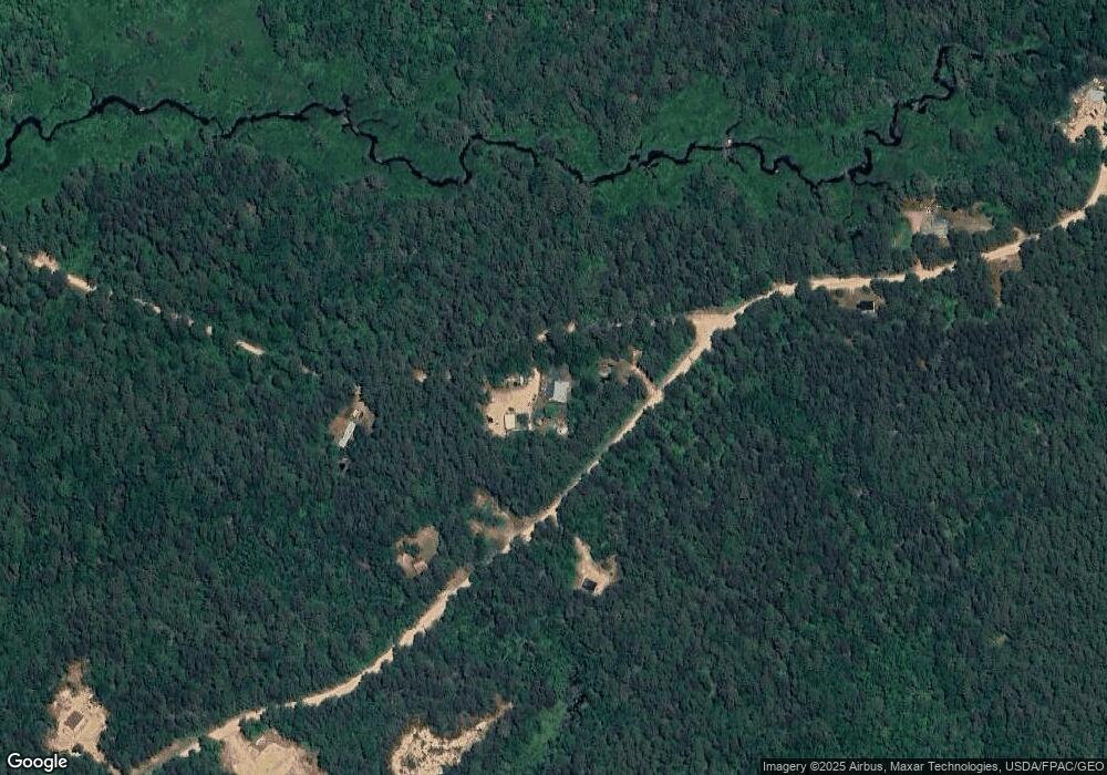
Map
Nearby Homes
- 175 Molly Philbrick Rd
- 190 Circuit Rd
- 45 Effingham Rd
- 225 Simon Hill Rd
- 106 Stevens Rd Unit 1
- 88 Stevens Rd
- 113 Jones Rd
- 118 Champion Hill Rd
- 275 Granite Rd
- 1533 Province Lake Rd
- 32 Rufus Mountain Rd
- 225 Pine River Path
- 0 Green Mountain Rd Unit 30
- 0 Green Mountain Rd Unit 13
- 288 Bonnyman Rd
- 156 Elm St
- Lot 20.3(TM4) John Hodgdon Rd
- 110 Elm St
- 199 Stagecoach Rd
- Lot 6 Pick Pocket Rd
- 84 Clough Rd
- 29 Clough Rd
- 108 Clough Rd
- Lot 25-3 Clough Rd
- Lot 25-2 Clough Rd
- 0 Clough Rd
- 13 Clough Rd
- 380 Granite Rd
- 9 Molly Philbrick Rd
- 20 Molly Philbrick Rd
- 369 Granite Rd
- 360 Granite Rd
- 31 Molly Philbrick Rd
- 362 Granite Rd
- Lot 4 Granite Rd
- 89 Molly Philbrick Rd
- 337 Granite Rd
- 155 Molly Philbrick Rd
- 323 Granite Rd
- 7 Clough Rd