4860 Auston St Springfield, OH 45502
Estimated Value: $178,000 - $188,000
2
Beds
2
Baths
1,252
Sq Ft
$147/Sq Ft
Est. Value
About This Home
This home is located at 4860 Auston St, Springfield, OH 45502 and is currently estimated at $184,354, approximately $147 per square foot. 4860 Auston St is a home located in Clark County with nearby schools including Northridge Elementary School, Kenton Ridge Middle & High School, and Emmanuel Christian Academy.
Ownership History
Date
Name
Owned For
Owner Type
Purchase Details
Closed on
Oct 6, 2020
Bought by
Price Stephen E and Price Rhonda J
Current Estimated Value
Purchase Details
Closed on
Sep 16, 1994
Sold by
H C Bishop Inc
Bought by
Camden William R and Camden Mona L
Create a Home Valuation Report for This Property
The Home Valuation Report is an in-depth analysis detailing your home's value as well as a comparison with similar homes in the area
Home Values in the Area
Average Home Value in this Area
Purchase History
| Date | Buyer | Sale Price | Title Company |
|---|---|---|---|
| Price Stephen E | -- | -- | |
| Camden William R | $69,000 | -- |
Source: Public Records
Tax History
| Year | Tax Paid | Tax Assessment Tax Assessment Total Assessment is a certain percentage of the fair market value that is determined by local assessors to be the total taxable value of land and additions on the property. | Land | Improvement |
|---|---|---|---|---|
| 2025 | $1,464 | $52,710 | $7,050 | $45,660 |
| 2024 | $1,415 | $33,470 | $6,130 | $27,340 |
| 2023 | $1,415 | $33,470 | $6,130 | $27,340 |
| 2022 | $1,421 | $33,470 | $6,130 | $27,340 |
| 2021 | $1,635 | $32,590 | $4,380 | $28,210 |
| 2020 | $1,637 | $32,590 | $4,380 | $28,210 |
| 2019 | $1,668 | $32,590 | $4,380 | $28,210 |
| 2018 | $1,509 | $28,320 | $4,990 | $23,330 |
| 2017 | $1,293 | $27,000 | $4,988 | $22,012 |
| 2016 | $1,284 | $27,000 | $4,988 | $22,012 |
| 2015 | $1,249 | $27,262 | $5,250 | $22,012 |
| 2014 | $1,249 | $27,262 | $5,250 | $22,012 |
| 2013 | $1,220 | $27,262 | $5,250 | $22,012 |
Source: Public Records
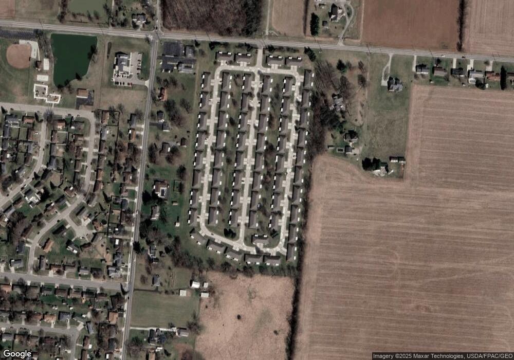
Map
Nearby Homes
- 1709 Thomas Dr
- 4652 Reno Ln Unit 15
- 1521 Erika Dr
- 4500 Bosart Rd
- 4446 Ridgewood Rd E Unit 3
- 1707 Berwick Dr
- 1836 Dunseth Ln
- 5564 Ridgewood Rd E Unit 7
- 4256 Midfield St Unit 9
- 1341 Student Ave
- 4741 Cullen Ave
- 3969 Covington Dr Unit 3969
- 5564 Ridgewood Rd W
- 4028 Ryland Dr Unit 4028
- 5722 Victorian Way Unit 31
- Pendleton Plan at
- Holcombe Plan at
- Newcastle Plan at
- Chatham Plan at
- 4343 Burchill St
- 4858 Auston St
- 4870 Auston St Unit 4870
- 4859 Auston St Unit 4859
- 4859 Auston St Unit 4359
- 4848 Auston St
- 4848 Auston St Unit 4848
- 4848 Auston St
- 4872 Auston St Unit 4872
- 4857 Auston St
- 4851 Brannan Dr E Unit 4851
- 4869 Auston St
- 4849 Brannan Dr E
- 4861 Brannan Dr E
- 4846 Auston St Unit 4846
- 4871 Auston St
- 4847 Auston St
- 4839 Brannan Dr E
- 4863 Brannan Dr E Unit 4863
- 4882 Auston St
- 4882 Auston St
Your Personal Tour Guide
Ask me questions while you tour the home.